Arizona County Map
Arizona has 15 counties. Maricopa County is the most populous, with 4,420,568 residents in 2020, and Coconino County is the largest by land area, at 18,616.4 sq mi. The capital, Phoenix, is the county seat of Maricopa County.
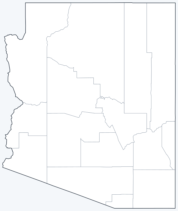
Counties are switched on when the map loads; hover a county for its name, or untick Show counties to hide them.
List of Arizona counties
All 15 counties in alphabetical order. Click a column heading to sort.
| County | County seat | Population (2020) | Land area (sq mi) |
|---|---|---|---|
| Apache County | St. Johns | 66,021 | 11,198.3 |
| Cochise County | Bisbee | 125,447 | 6,209.7 |
| Coconino County | Flagstaff | 145,101 | 18,616.4 |
| Gila County | Globe | 53,272 | 4,757.3 |
| Graham County | Safford | 38,533 | 4,621.9 |
| Greenlee County | Clifton | 9,563 | 1,842.1 |
| La Paz County | Parker | 16,557 | 4,496.6 |
| Maricopa County | Phoenix | 4,420,568 | 9,201.8 |
| Mohave County | Kingman | 213,267 | 13,332.1 |
| Navajo County | Holbrook | 106,717 | 9,949.5 |
| Pima County | Tucson | 1,043,433 | 9,188.7 |
| Pinal County | Florence | 425,264 | 5,366.0 |
| Santa Cruz County | Nogales | 47,669 | 1,236.2 |
| Yavapai County | Prescott | 236,209 | 8,122.9 |
| Yuma County | Yuma | 203,881 | 5,513.8 |
Most populous counties
Arizona had 7,151,502 residents in the 2020 Census. The five most populous counties:
- Maricopa County: 4,420,568 (61.8% of the state)
- Pima County: 1,043,433 (14.6% of the state)
- Pinal County: 425,264 (5.9% of the state)
- Yavapai County: 236,209 (3.3% of the state)
- Mohave County: 213,267 (3.0% of the state)
Together these five hold 88.6% of the state’s population. The least populous is Greenlee County, with 9,563 residents.
Maricopa County, home to Phoenix, and Pima County, home to Tucson, together hold 76.4% of Arizona’s residents. Pinal County, between the two metro areas, is third, with 425,264 residents.
Largest and smallest counties
By land area, the largest are Coconino County (18,616.4 sq mi), Mohave County (13,332.1 sq mi) and Apache County (11,198.3 sq mi). The smallest is Santa Cruz County, with 1,236.2 sq mi of land, followed by Greenlee County (1,842.1 sq mi). The average county covers 7,576.9 sq mi of land.
How Arizona counties work
Arizona has only 15 counties. Each is governed by an elected board of supervisors. The newest, La Paz County, was created from part of Yuma County in 1983.
Phoenix is both the state capital and the seat of Maricopa County.
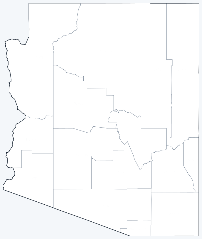
Printable Arizona county maps
Free to print for personal and classroom use: a labeled map with every county name, and a blank version for quizzes and coloring.
Frequently asked questions
How many counties are in Arizona?
Arizona has 15 counties.
What is the largest county in Arizona?
Coconino County, with 18,616.4 sq mi of land.
What is the most populous county in Arizona?
Maricopa County, with 4,420,568 residents in 2020, 61.8% of the state.
What county is Phoenix in?
Phoenix, the capital and largest city, is the seat of Maricopa County.
More county maps
Back to the Arizona state map. County maps of neighboring states: California · Nevada · Utah · New Mexico · Colorado.
Browse all 50 state maps.
Sources: U.S. Census Bureau (2020 Census, 2020 Gazetteer, boundaries); county seats: Wikipedia and Wikidata, cross-checked. Last reviewed October 2026.