US Regions Map
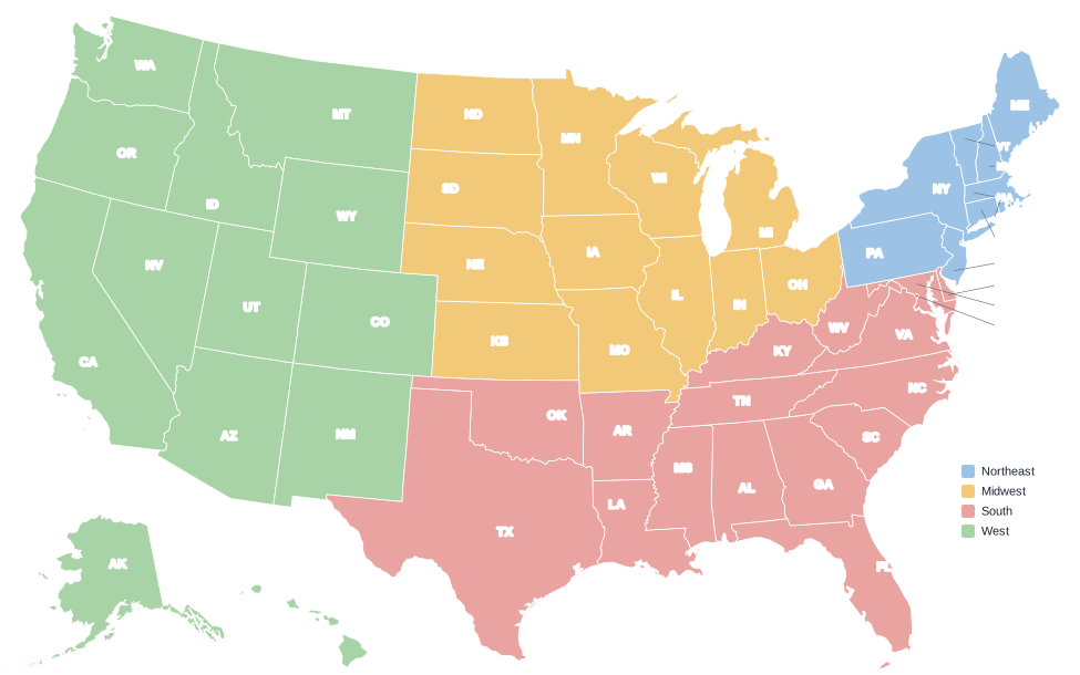
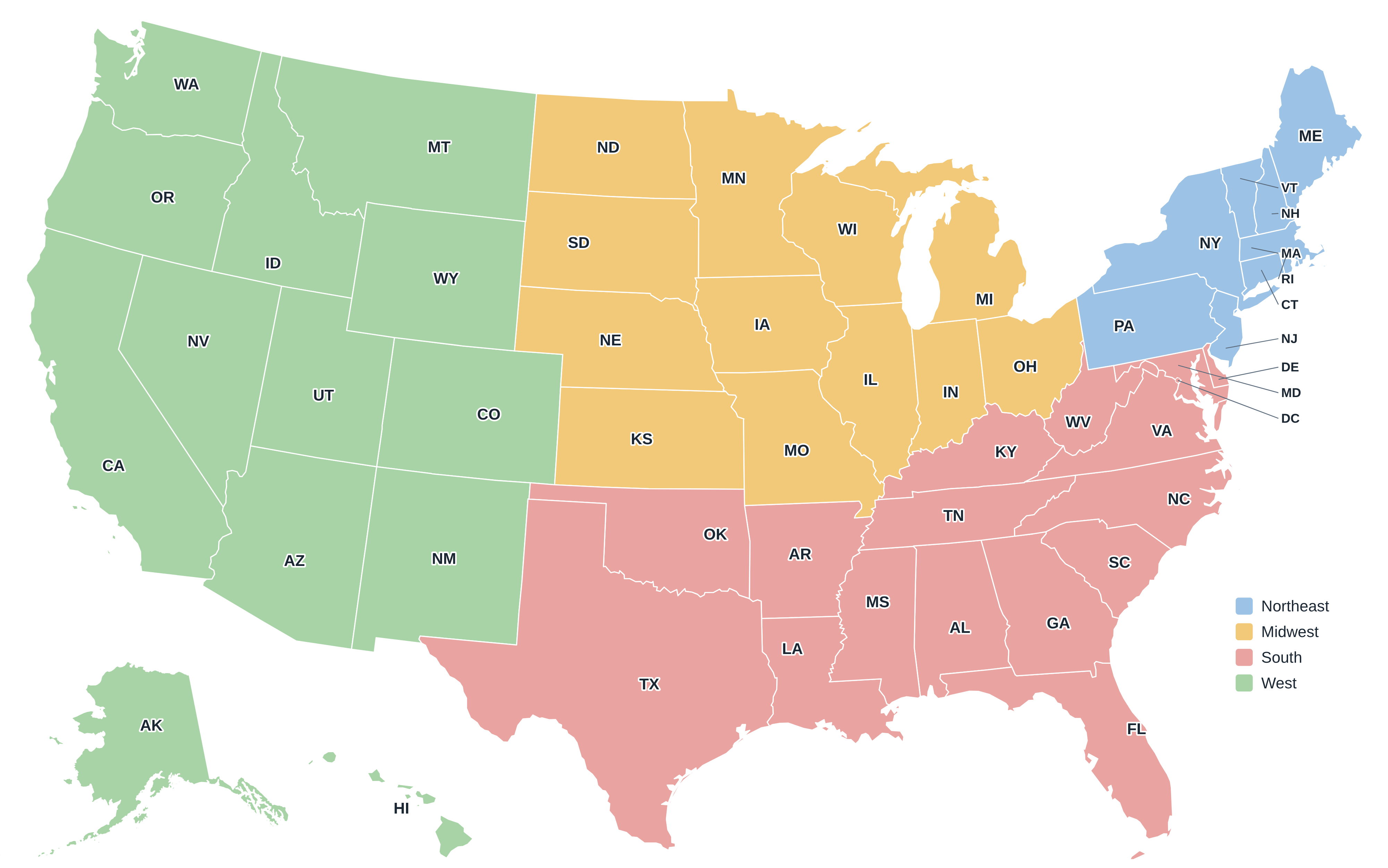
The U.S. Census Bureau divides the country into four regions (Northeast, Midwest, South and West) and nine smaller divisions. These are the official regions used in federal statistics, and the most common way to group the states.
The four regions compared
| Region | States | Population (2020) | Share | Area (sq mi) |
|---|---|---|---|---|
| Northeast | 9 | 57,609,148 | 17.4% | 181,319 |
| Midwest | 12 | 68,985,454 | 20.8% | 821,726 |
| South | 16 + D.C. | 126,266,107 | 38.1% | 920,378 |
| West | 13 | 78,588,572 | 23.7% | 1,873,253 |
Northeast
The smallest region by area but the most densely populated, stretching from Maine to Pennsylvania. It includes the Boston–New York–Philadelphia corridor.
New England division
Connecticut, Maine, Massachusetts, New Hampshire, Rhode Island, Vermont.
Middle Atlantic division
New Jersey, New York, Pennsylvania.
Midwest
The agricultural and industrial heartland around the Great Lakes and the Great Plains, from Ohio west to the Dakotas, Nebraska and Kansas.
East North Central division
Illinois, Indiana, Michigan, Ohio, Wisconsin.
West North Central division
Iowa, Kansas, Minnesota, Missouri, Nebraska, North Dakota, South Dakota.
South
The most populous region, running from Delaware and Maryland to Florida and Texas. The Census Bureau also counts Washington, D.C., here.
South Atlantic division
Delaware, Florida, Georgia, Maryland, North Carolina, South Carolina, Virginia, West Virginia, and Washington, D.C..
East South Central division
Alabama, Kentucky, Mississippi, Tennessee.
West South Central division
Arkansas, Louisiana, Oklahoma, Texas.
West
The largest region by area, covering the Rocky Mountains, the desert Southwest, the Pacific Coast, Alaska and Hawaii.
Mountain division
Arizona, Colorado, Idaho, Montana, Nevada, New Mexico, Utah, Wyoming.
Pacific division
Alaska, California, Hawaii, Oregon, Washington.
Other ways to divide the US
Outside government statistics, people use many informal regions. They overlap and have no fixed borders:
- New England: the six northeastern states (CT, ME, MA, NH, RI, VT), identical to the Census division.
- Mid-Atlantic: usually New York, New Jersey and Pennsylvania, often with Delaware, Maryland and D.C.
- Pacific Northwest: Washington and Oregon, often with Idaho.
- Southwest: Arizona and New Mexico at the core, often with parts of Nevada, Utah, Colorado, Oklahoma and Texas.
- Great Plains: the grasslands from the Dakotas to Texas, east of the Rockies.
- Sun Belt and Rust Belt: economic labels for the fast-growing southern tier and the older industrial Great Lakes states.
Frequently asked questions
Is Texas in the South or the West?
The Census Bureau places Texas in the South (West South Central division), although West Texas is often described as part of the Southwest.
Which states are in the Midwest?
Illinois, Indiana, Iowa, Kansas, Michigan, Minnesota, Missouri, Nebraska, North Dakota, Ohio, South Dakota, Wisconsin.
Is Maryland a Southern state?
For Census purposes, yes: Maryland and Delaware are in the South Atlantic division. In everyday use, many people consider them Mid-Atlantic states.