Printable US Maps
Free, high-resolution maps of the United States in three formats: a print-ready PDF for US Letter paper, a 4,000-pixel PNG and a scalable vector SVG. Free for home, classroom and non-commercial use.
Download US maps
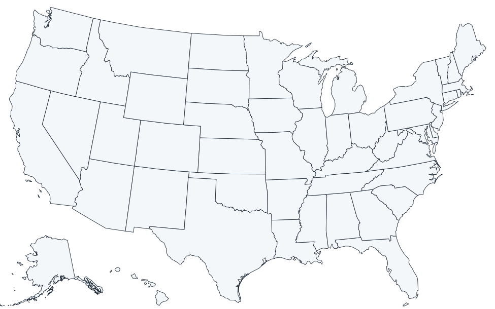
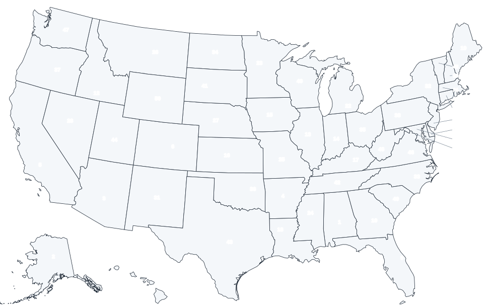
Blank US map
State borders only, no labels.
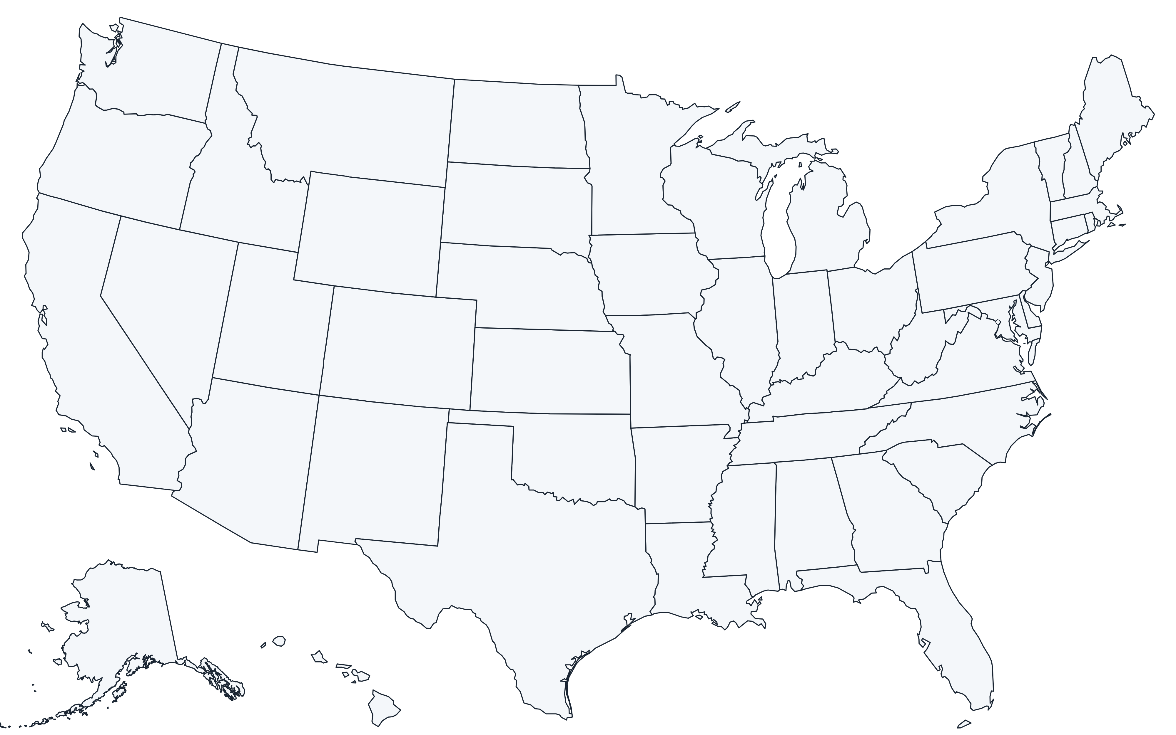
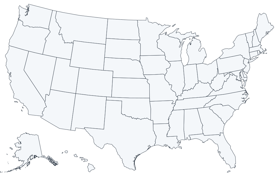
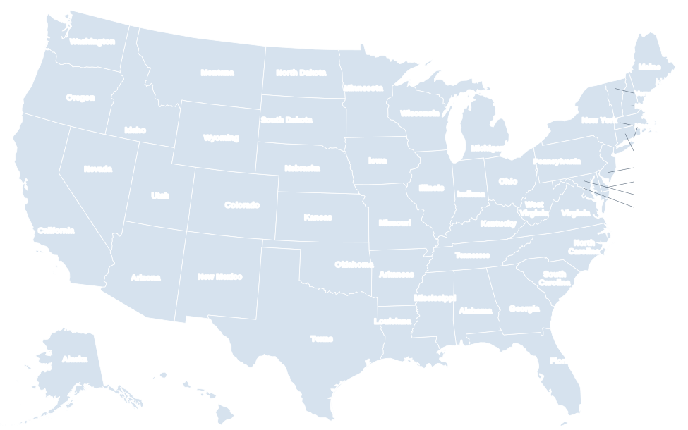
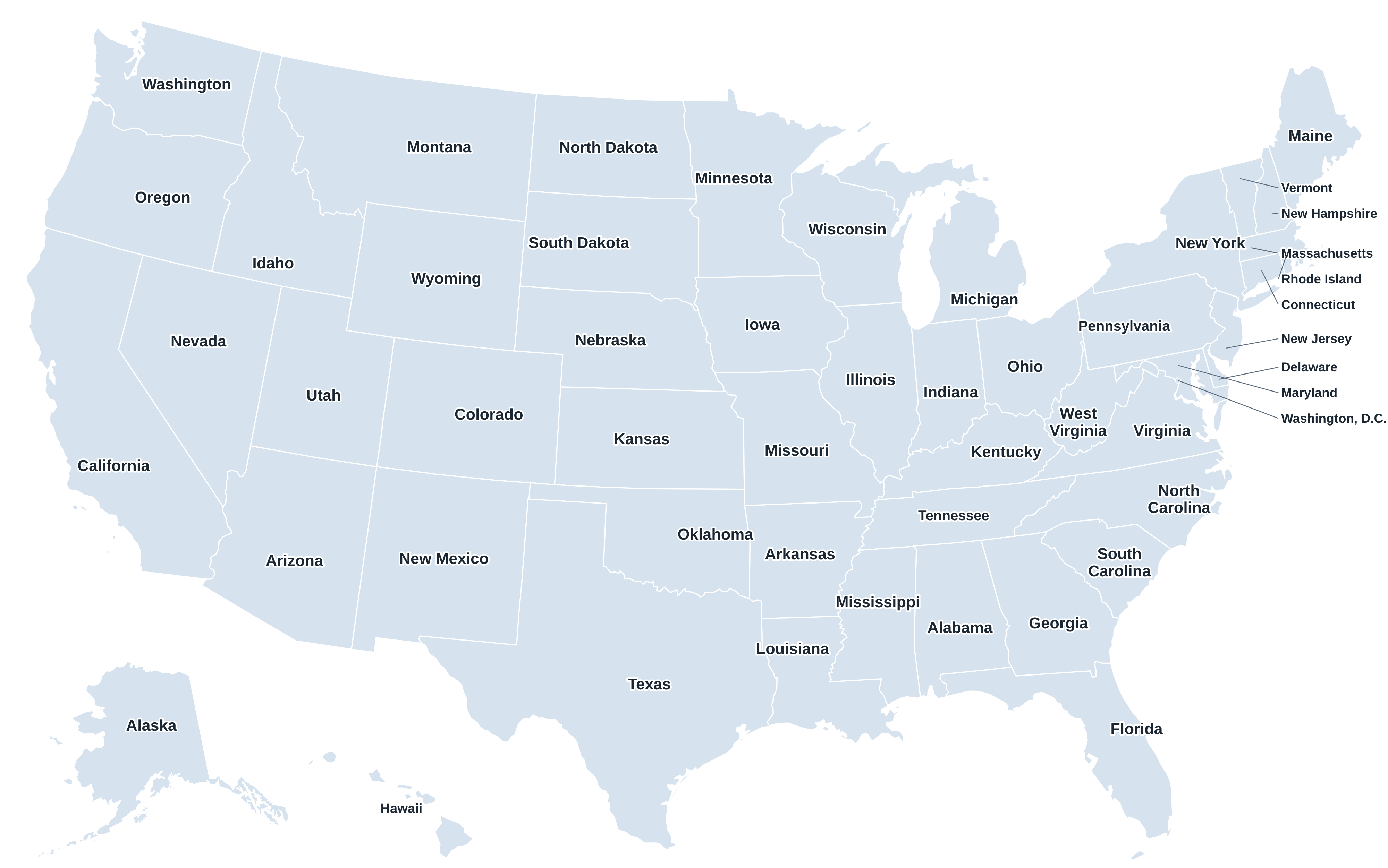
Labeled US map
All 50 state names with callouts.
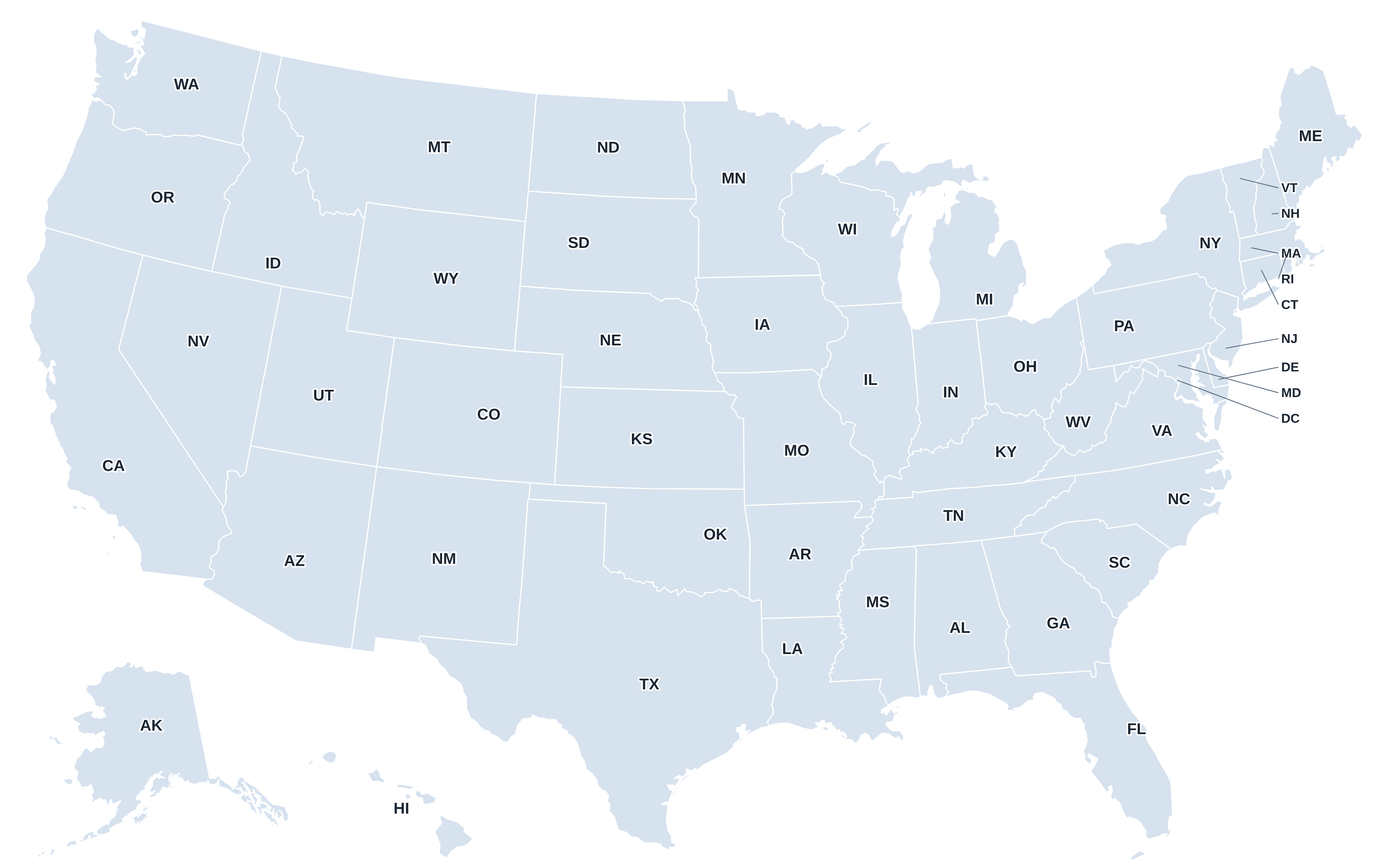
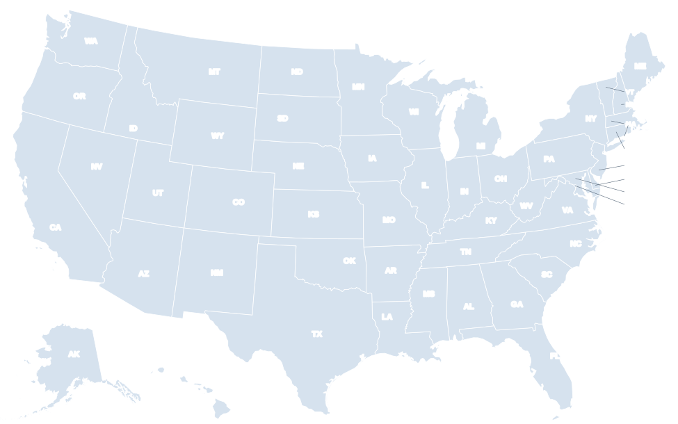
State abbreviations map
Two-letter USPS codes.
US map with capitals
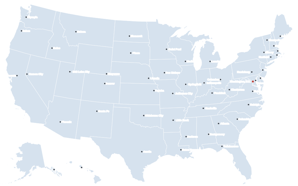
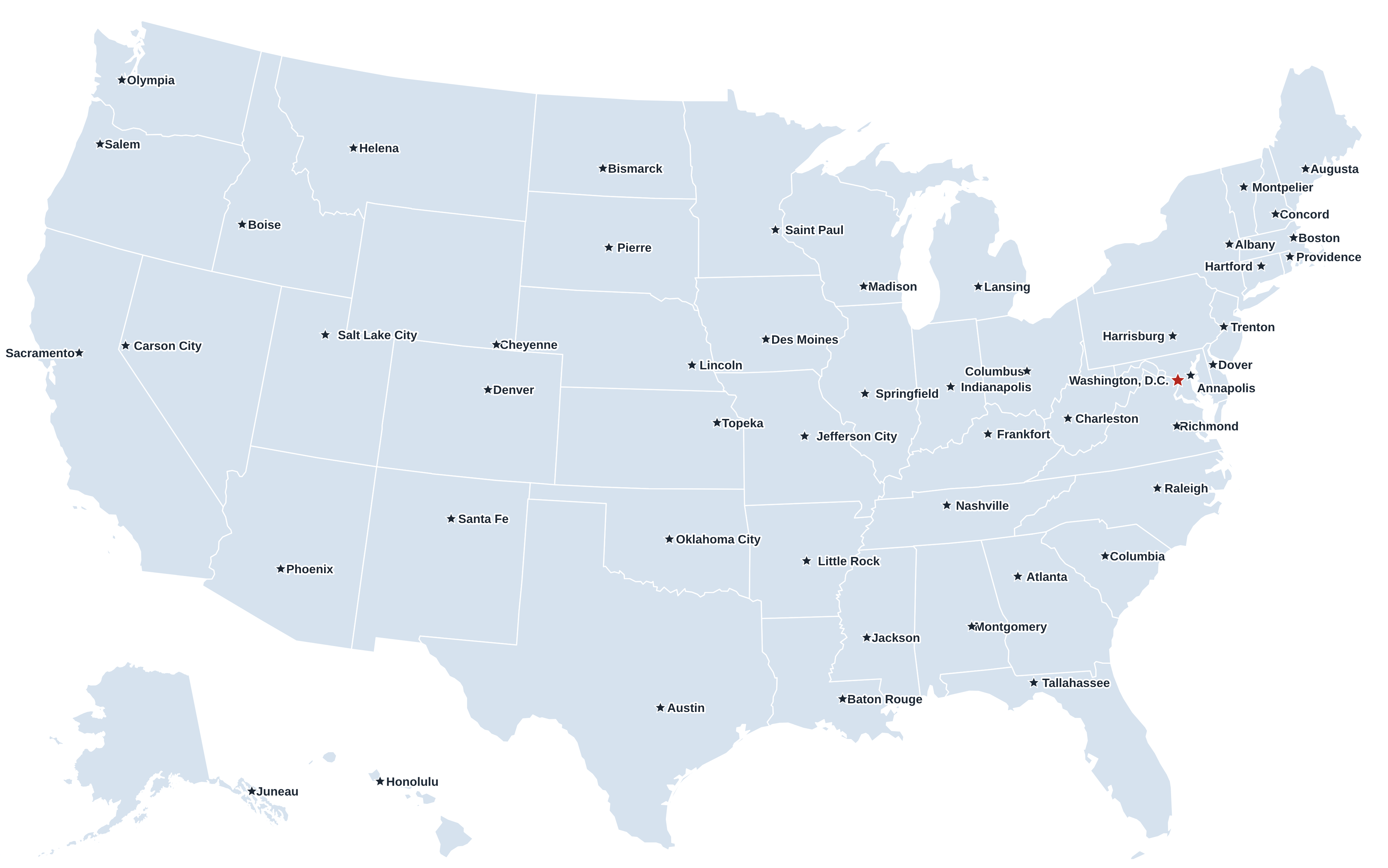
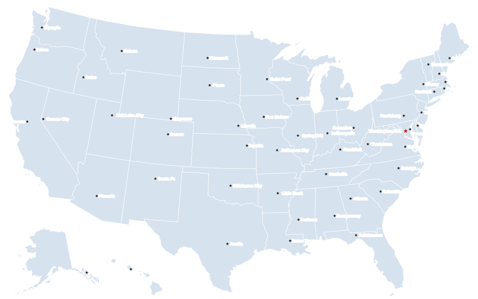
All 50 capitals plus Washington, D.C.
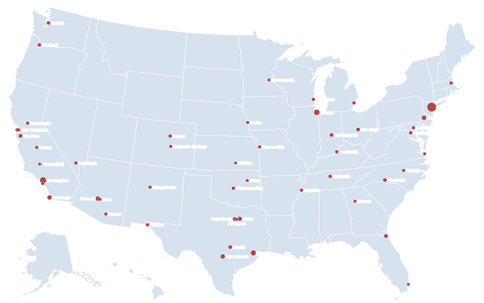
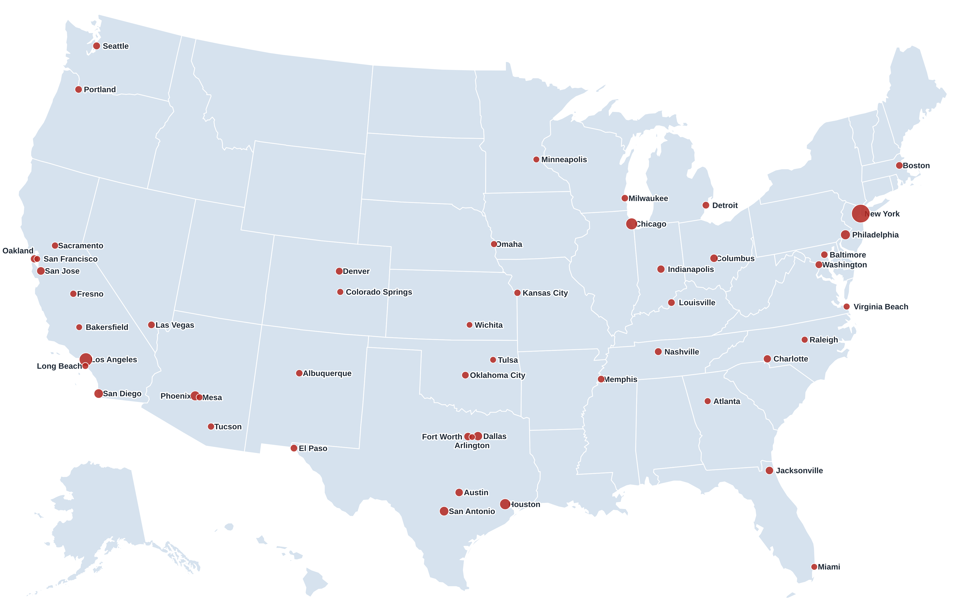
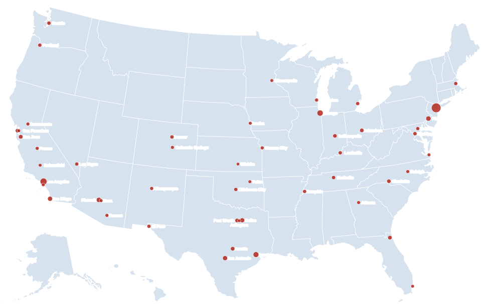
US map with cities
The 50 largest cities, sized by population.
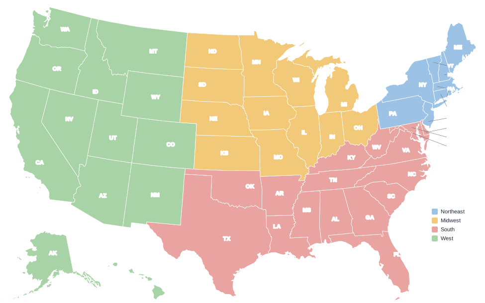
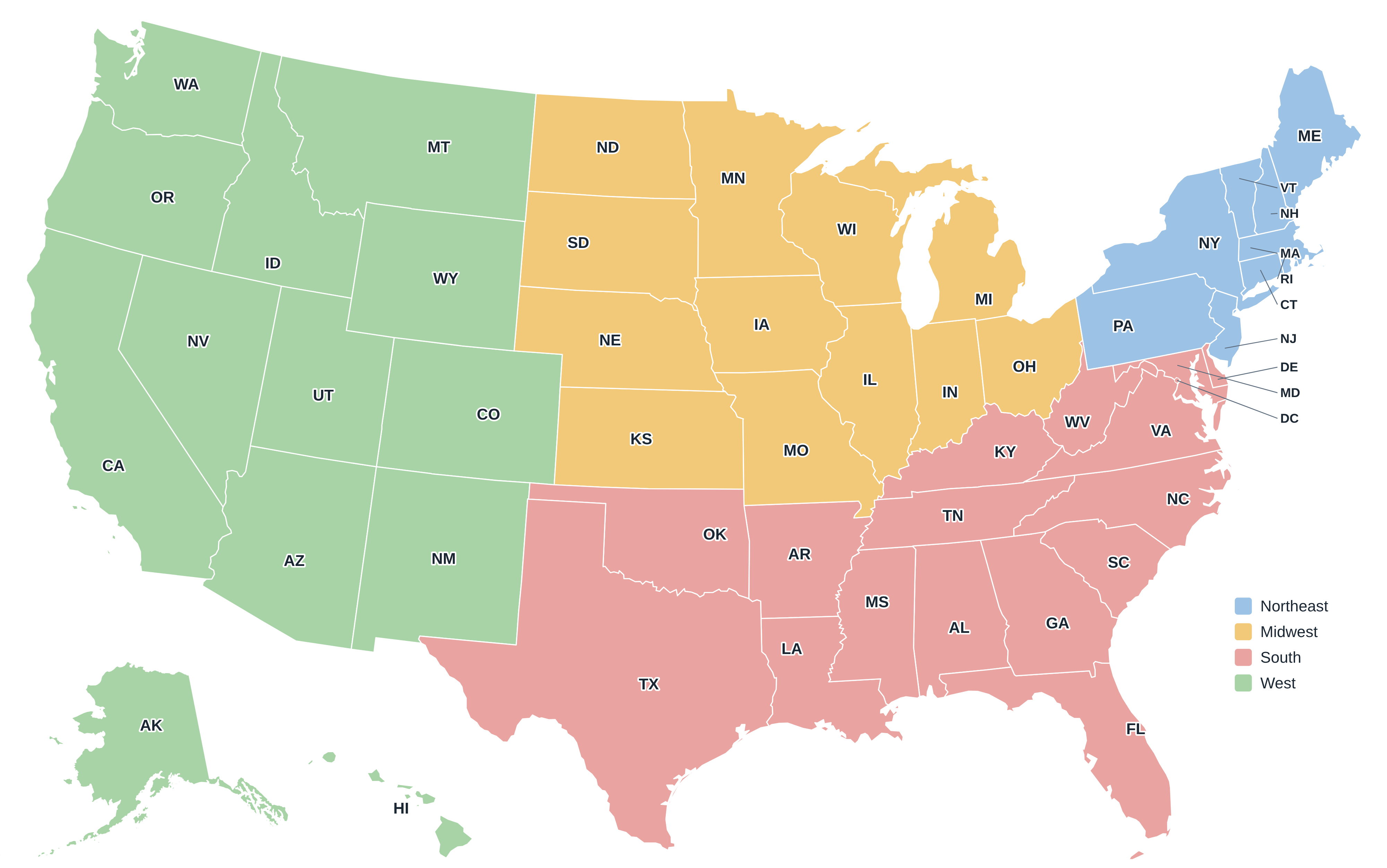
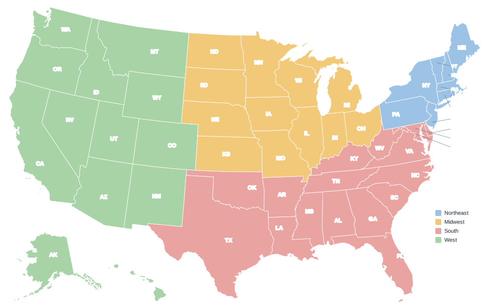
US regions map
Four Census regions, color-coded.
Numbered worksheet + answer key
Two-page PDF for state quizzes.
Which format should I download?
| Format | Best for | Notes |
|---|---|---|
| Printing at home or school | US Letter, landscape, prints at full page with margins. | |
| PNG | Slides, documents, websites | 4,000 × 2,502 pixels, white background; sharp up to poster size. |
| SVG | Editing and large prints | Vector file; recolor states or change labels in Illustrator, Inkscape, Figma or a browser. |
Printing tips
- Set orientation to Landscape; the maps are wider than they are tall.
- For A4 paper, choose Fit to page; the map scales without cropping.
- For a wall poster, send the SVG or PNG to a print shop and ask for 24 × 15 inches or larger.
- The colored maps (regions, capitals, cities) are designed to stay readable in grayscale.
State maps to print
Every state page includes a blank outline of that state (SVG and PNG) and a locator map showing where the state sits in the US. Popular choices: Washington, New York, Texas, Florida, California, Ohio, Georgia, Michigan.
License and attribution
You may print, copy and share these maps for personal, educational and non-commercial purposes, including worksheets, class presentations and school projects. A credit to USStateMap.com is appreciated. Boundaries come from U.S. Census Bureau cartographic boundary files, which are in the public domain.