Mississippi State Map
Mississippi is in the Deep South, between the Mississippi River on the west and Alabama on the east, with a short coastline on the Gulf. This Mississippi state map shows its 82 counties, cities and highways. Jackson is both the capital and the largest city.
The interactive map shows Mississippi’s largest cities (capital in red) on an OpenStreetMap base map. Turn on Show counties to see all county lines and hover for names.
Mississippi quick facts
| Capital | Jackson |
|---|---|
| Largest city | Jackson |
| Population (2020) | 2,961,279 (34th of 50) |
| Total area | 48,432 sq mi (32nd of 50) |
| Statehood | December 10, 1817 (20th state) |
| Counties | 82 counties · County map |
| Abbreviation | MS (AP style: Miss.) |
| Region | South (East South Central division) |
| Time zone | Central Time (CT) |
| Highest point | Woodall Mountain, 806 ft |
| Borders | Tennessee (north), Alabama (east), Louisiana (west and south), Arkansas (west, across the Mississippi River), the Gulf (south) |
Largest cities in Mississippi
| Rank | City | Population (2020) |
|---|---|---|
| 1 | Jackson (capital) | 153,701 |
| 2 | Gulfport | 72,926 |
| 3 | Southaven | 54,648 |
| 4 | Biloxi | 49,449 |
| 5 | Hattiesburg | 48,730 |
| 6 | Olive Branch | 39,711 |
| 7 | Tupelo | 37,923 |
| 8 | Meridian | 35,052 |
| 9 | Greenville | 29,670 |
| 10 | Clinton | 28,100 |
Mississippi has no city of 200,000 people. Southaven and Olive Branch are suburbs of Memphis, Tennessee, and Clinton is a suburb of Jackson.
Regions of Mississippi
Mississippi is low and gently rolling; no point in the state reaches 1,000 ft. Its regions are defined more by soil and rivers than by mountains.
The Delta
The Yazoo–Mississippi Delta is the flat, fertile floodplain between the Mississippi and Yazoo rivers in the northwest, stretching from the Memphis area south to Vicksburg. Greenville, Clarksdale and Greenwood are its main towns; cotton, soybeans and catfish farming dominate, and the region is closely tied to the history of the blues. US 61, the “Blues Highway,” runs through it.
North Mississippi hills
- DeSoto County: fast-growing Memphis suburbs, including Southaven, Olive Branch and Horn Lake.
- Northeast hills: Tupelo (birthplace of Elvis Presley), Oxford (University of Mississippi) and Corinth. Woodall Mountain, the highest point at 806 ft, is in Tishomingo County in the far northeast corner.
- Golden Triangle: Columbus, Starkville (Mississippi State University) and West Point near the Alabama line.
Central Mississippi
Jackson stands on the Pearl River, with the Ross Barnett Reservoir to its northeast and suburbs such as Clinton, Madison, Pearl and Brandon around it. To the west, Vicksburg overlooks the Mississippi River; its Civil War siege of 1863 is preserved at Vicksburg National Military Park. Meridian is the main city of east-central Mississippi.
Piney Woods and the southwest
Longleaf and loblolly pine forests cover much of the south-central state around Hattiesburg and Laurel. In the southwest, Natchez sits on bluffs above the Mississippi; it is the southern end of the Natchez Trace Parkway, a National Park Service road that runs about 444 miles northeast to Nashville, Tennessee.
Gulf Coast
Gulfport, Biloxi, Ocean Springs and Pascagoula line the shore of Mississippi Sound. Offshore barrier islands such as Ship Island, Horn Island and Petit Bois Island are part of Gulf Islands National Seashore. Hurricane Katrina came ashore near the Louisiana line on August 29, 2005, and caused severe damage along the entire Mississippi coast.
Rivers and borders
The Mississippi River forms the whole western border, facing Arkansas in the north and Louisiana in the south. Below the 31st parallel the line with Louisiana follows the Pearl River to the Gulf. Other major rivers include the Yazoo, the Big Black and the Pascagoula. In the northeast, the Tennessee-Tombigbee Waterway, opened in 1985, links the Tennessee River to the Tombigbee River and the port of Mobile, Alabama.
Major highways
- I-55: from the Tennessee line at Southaven through Grenada, Jackson and McComb to Louisiana; it is the main north–south route.
- I-20: Vicksburg to Jackson and Meridian, continuing into Alabama.
- I-59: from the Louisiana line near Picayune through Hattiesburg and Laurel to Meridian, where it joins I-20.
- I-10: across the Gulf Coast through Pascagoula, Biloxi and Gulfport.
- I-22 and I-269: the Memphis area to Tupelo and on to Birmingham, Alabama; and part of an outer loop around Memphis through DeSoto and Marshall counties.
- US 49, US 61 and US 45: Gulfport–Hattiesburg–Jackson–Delta; Natchez–Vicksburg–Clarksdale; and Meridian–Columbus–Tupelo–Corinth in the east.
- Natchez Trace Parkway: a two-lane scenic road, closed to commercial trucking, from Natchez past the Jackson area and Tupelo into Alabama and Tennessee.
Printable Mississippi maps
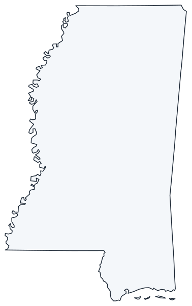
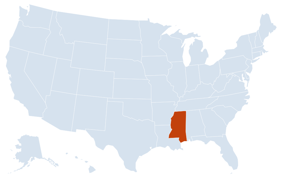
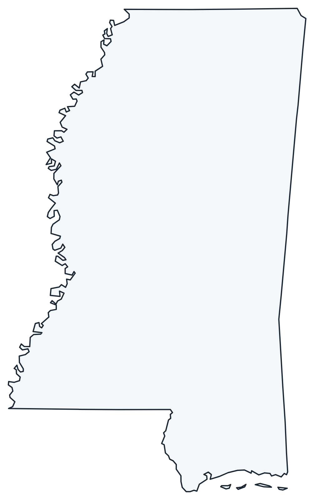
A blank outline of Mississippi for coloring, labeling or school projects, and a locator map showing the state within the US. Free for personal and classroom use.
For all 82 counties with county seats and 2020 population, and a printable labeled map, see the Mississippi county map.
Frequently asked questions
What is the capital of Mississippi?
Jackson, in the center of the state on the Pearl River. It is also the largest city.
How many counties are in Mississippi?
There are 82 counties. Hinds County, which includes Jackson, is the most populous; Yazoo County is the largest by land area.
What time zone is Mississippi in?
All of Mississippi uses Central Time and observes daylight saving time.
What river forms Mississippi’s western border?
The Mississippi River, which separates the state from Arkansas and Louisiana. In the south, the Pearl River forms part of the border with Louisiana.
Neighboring and nearby states
Alabama · Arkansas · Louisiana · Tennessee · Also in the East South Central division: Alabama, Kentucky, Tennessee
Back to the US state map or browse all 50 state maps.
Sources: U.S. Census Bureau (2020 Census, boundaries), USGS, National Park Service. Last reviewed October 2026.