California State Map
California stretches along the Pacific coast from Oregon in the north to Mexico in the south, with Nevada and Arizona to the east. This California state map shows its largest cities and all 58 counties. The capital is Sacramento and the largest city is Los Angeles.
The interactive map shows California’s largest cities (capital in red) on an OpenStreetMap base map. Turn on Show counties to see all county lines and hover for names.
California quick facts
| Capital | Sacramento |
|---|---|
| Largest city | Los Angeles |
| Population (2020) | 39,538,223 (1st of 50) |
| Total area | 163,695 sq mi (3rd of 50) |
| Statehood | September 9, 1850 (31st state) |
| Counties | 58 counties · County map |
| Abbreviation | CA (AP style: Calif.) |
| Region | West (Pacific division) |
| Time zone | Pacific Time (PT) |
| Highest point | Mount Whitney, 14,494 ft (USGS) |
| Lowest point | Badwater Basin, Death Valley, −282 ft |
| Borders | Oregon (north), Nevada (east), Arizona (southeast), Baja California, Mexico (south), Pacific Ocean (west) |
Largest cities in California
California has four cities with more than 800,000 people, and Los Angeles is the second-largest city in the US after New York City.
| Rank | City | Population (2020) |
|---|---|---|
| 1 | Los Angeles | 3,898,747 |
| 2 | San Diego | 1,386,932 |
| 3 | San Jose | 1,013,240 |
| 4 | San Francisco | 873,965 |
| 5 | Fresno | 542,107 |
| 6 | Sacramento (capital) | 524,943 |
| 7 | Long Beach | 466,742 |
| 8 | Oakland | 440,646 |
| 9 | Bakersfield | 403,455 |
| 10 | Anaheim | 346,824 |
Regions of California
A California map is easiest to read as a series of bands: the Coast Ranges along the ocean, the Central Valley in the middle, the Sierra Nevada along the eastern edge, and deserts in the southeast.
Northern California and the North Coast
Redwood forests line the coast from Crescent City to Eureka and Mendocino, protected in part by Redwood National and State Parks. Inland, the Klamath Mountains and the southern end of the Cascade Range rise around Redding, Mount Shasta and Lassen Volcanic National Park.
San Francisco Bay Area
Nine counties ring San Francisco Bay, including San Francisco, Oakland and San Jose. Silicon Valley fills the south end of the bay, and the Napa and Sonoma wine valleys lie to the north.
Central Valley
The Sacramento Valley in the north and the San Joaquin Valley in the south form a flat basin about 450 miles long, one of the most productive farming regions in the country. Sacramento, Stockton, Fresno and Bakersfield are its main cities.
Sierra Nevada
The granite range along the Nevada border holds Lake Tahoe, Yosemite National Park, and Sequoia and Kings Canyon National Parks. Mount Whitney, the highest summit in the contiguous United States, stands on its eastern crest above the Owens Valley.
Central Coast
Between the Bay Area and Los Angeles, Highway 1 follows the Big Sur coast past Monterey, San Luis Obispo and Santa Barbara. Pinnacles National Park is inland near the Salinas Valley.
Southern California
Los Angeles, Orange County, the Inland Empire (Riverside and San Bernardino) and San Diego form the state’s largest urban area. Channel Islands National Park lies offshore from Ventura and Santa Barbara.
The deserts
The Mojave Desert covers the southeast interior around Barstow, and the lower Colorado Desert extends past Palm Springs to the Imperial Valley and the Salton Sea. Death Valley National Park holds Badwater Basin, the lowest point in North America, and Joshua Tree National Park sits where the two deserts meet. The Colorado River forms the border with Arizona.
With nine national parks, California has more than any other state.
Major highways
- I-5: the main north–south route, from the Oregon line through Redding, Sacramento and the San Joaquin Valley to Los Angeles and San Diego, ending at the Mexican border at San Ysidro.
- US 101: from the North Coast through Eureka, San Francisco, San Jose and the Central Coast to Los Angeles.
- SR 1 (Pacific Coast Highway): the scenic coastal road, including the Big Sur section south of Monterey.
- SR 99: through the Central Valley cities of Sacramento, Stockton, Modesto, Fresno and Bakersfield.
- I-80: from San Francisco across the Bay Bridge to Sacramento and over Donner Pass toward Reno, Nevada.
- I-10: from Santa Monica through Los Angeles, the Inland Empire and Palm Springs to Arizona.
- I-15 and I-40: from San Diego through the Inland Empire to Barstow and Las Vegas, and from Barstow east to Needles.
- I-8: from San Diego across the mountains to El Centro and Yuma, Arizona.
Printable California maps
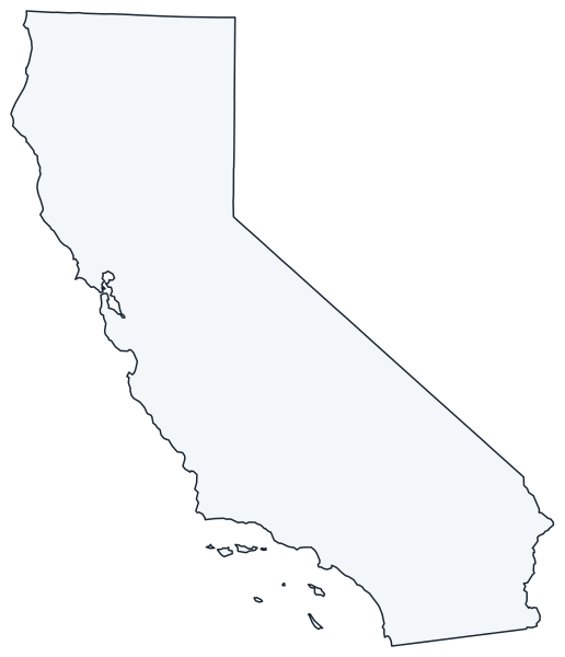
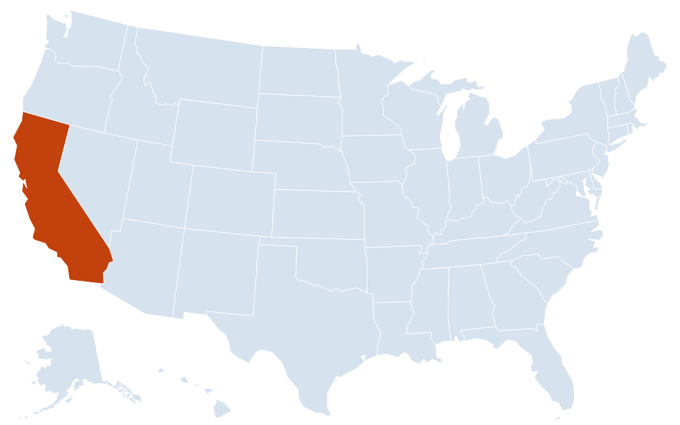
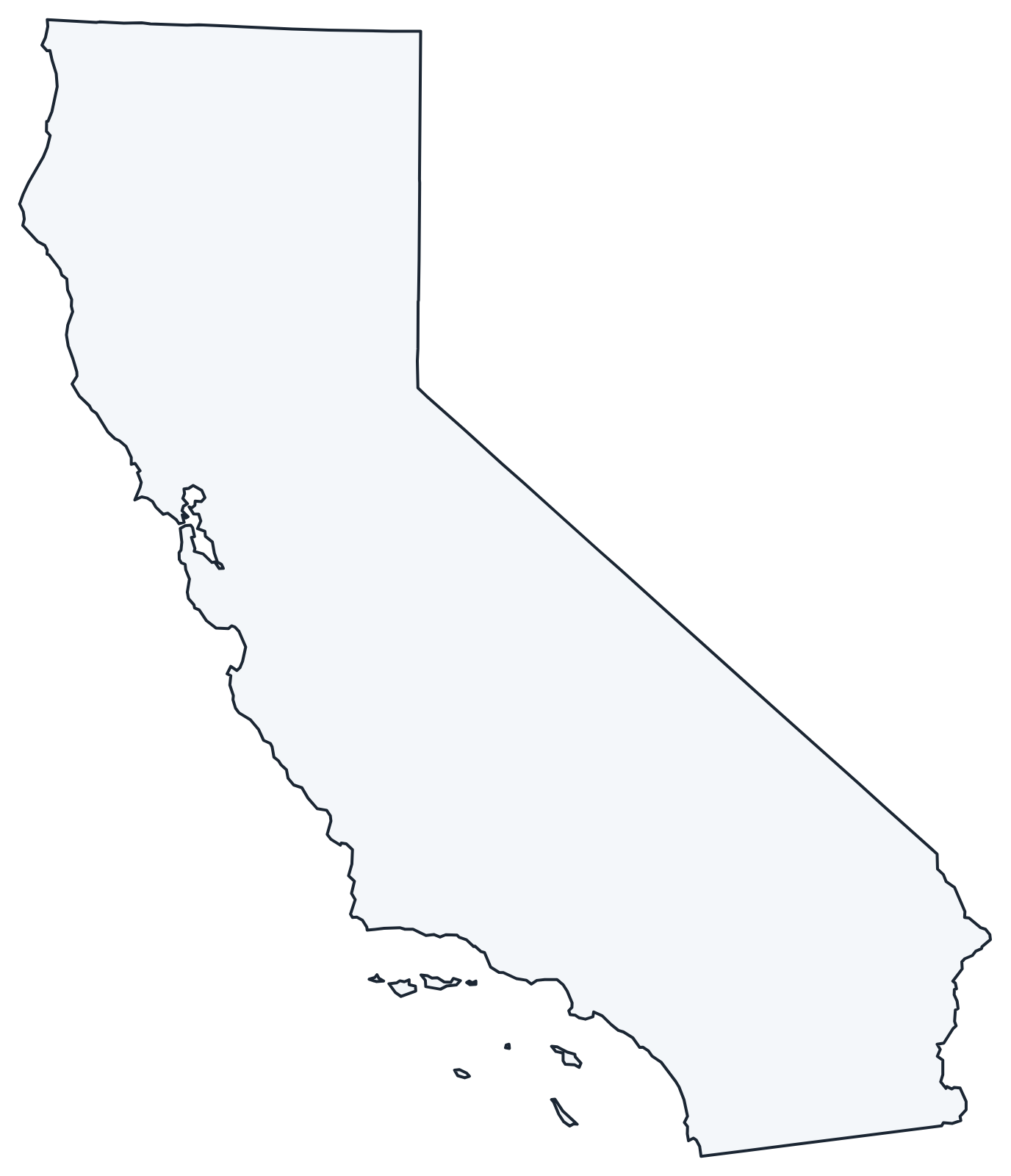
A blank outline of California for coloring, labeling or school projects, and a locator map showing the state within the US. Free for personal and classroom use.
For all 58 counties with county seats and 2020 population, and a printable labeled map, see the California county map.
Frequently asked questions
What is the capital of California?
Sacramento, in the Central Valley northeast of San Francisco. Los Angeles is the largest city, but not the capital.
How many counties are in California?
There are 58 counties. Los Angeles County is the most populous, with 10,014,009 people in 2020; San Bernardino County is the largest by area of any county in the contiguous US.
What time zone is California in?
The whole state uses Pacific Time and observes daylight saving time.
Where are the highest and lowest points in California?
Mount Whitney in the Sierra Nevada is the highest point in the contiguous US, and Badwater Basin in Death Valley is the lowest point in North America. They are less than 90 miles apart on the eastern side of the state.
Neighboring and nearby states
Arizona · Nevada · Oregon · Also in the Pacific division: Alaska, Hawaii, Oregon, Washington
Back to the US state map or browse all 50 state maps.
Sources: U.S. Census Bureau (2020 Census, boundaries), USGS, National Park Service. Last reviewed October 2026.