South Carolina State Map
South Carolina lies on the Atlantic coast between North Carolina and Georgia, rising from Lowcountry marshes to the Blue Ridge in the Upstate. This South Carolina state map shows its cities and 46 counties. The capital is Columbia and the largest city is Charleston.
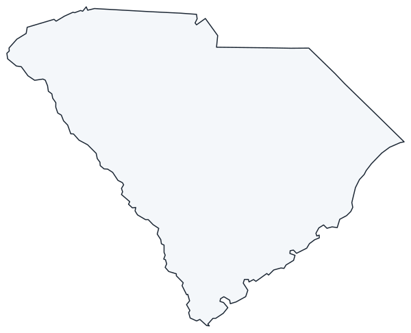
The interactive map shows South Carolina’s largest cities (capital in red) on an OpenStreetMap base map. Turn on Show counties to see all county lines and hover for names.
South Carolina quick facts
| Capital | Columbia |
|---|---|
| Largest city | Charleston |
| Population (2020) | 5,118,425 (23rd of 50) |
| Total area | 32,020 sq mi (40th of 50) |
| Statehood | May 23, 1788 (8th state) |
| Counties | 46 counties · County map |
| Abbreviation | SC (AP style: S.C.) |
| Region | South (South Atlantic division) |
| Time zone | Eastern Time (ET) |
| Highest point | Sassafras Mountain, about 3,560 ft |
| Borders | North Carolina (north), Georgia (southwest, along the Savannah River), Atlantic Ocean (southeast) |
Where is South Carolina?
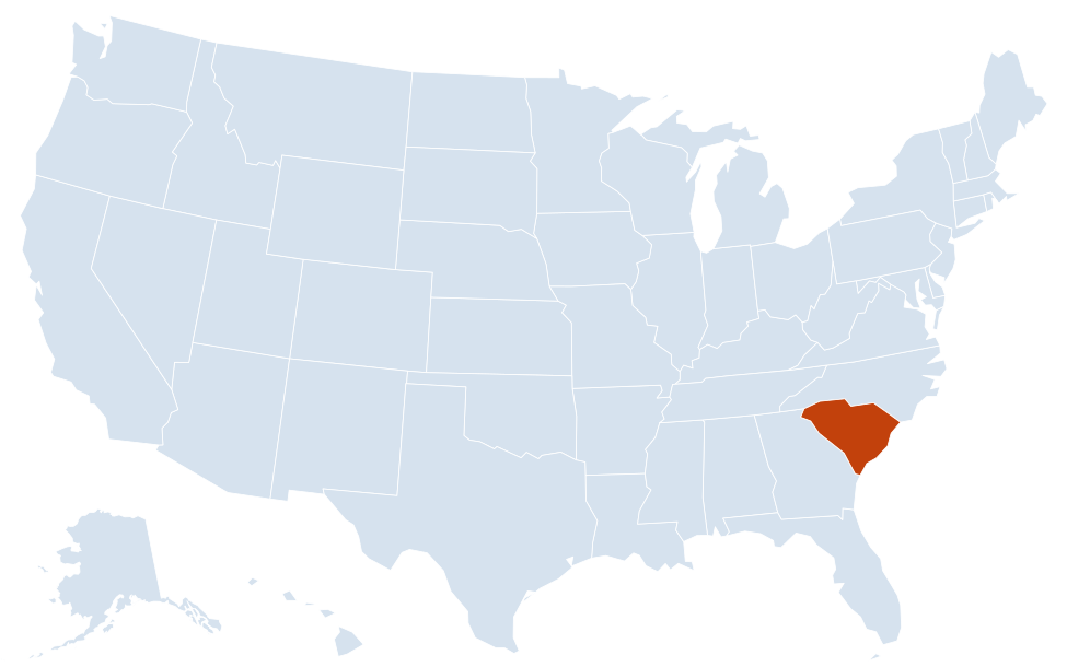
South Carolina is in the South region of the United States. Neighboring states: Georgia, North Carolina.
Largest cities in South Carolina
| Rank | City | Population (2020) |
|---|---|---|
| 1 | Charleston | 150,227 |
| 2 | Columbia (capital) | 136,632 |
| 3 | North Charleston | 114,852 |
| 4 | Mount Pleasant | 90,801 |
| 5 | Rock Hill | 74,372 |
| 6 | Greenville | 70,720 |
| 7 | Summerville | 50,915 |
| 8 | Goose Creek | 45,946 |
| 9 | Sumter | 43,463 |
| 10 | Florence | 39,899 |
Regions of South Carolina
South Carolinians divide their state into the Upstate, the Midlands, the Pee Dee and the Lowcountry. The Fall Line, where rivers drop from hard Piedmont rock onto the sandy Coastal Plain, runs through Columbia and splits the state roughly in half.
Upstate
The northwest corner holds the Blue Ridge escarpment and the Piedmont. Sassafras Mountain, the highest point, sits on the North Carolina line in Pickens County. Table Rock and Caesars Head state parks lie along the same escarpment, and Lake Jocassee and Lake Keowee fill valleys below it. Greenville, Spartanburg and Anderson form the I-85 manufacturing corridor, and Clemson University lies near Lake Hartwell. Rock Hill, in the north-central Piedmont, belongs to the Charlotte metro area.
Midlands
Columbia sits where the Broad and Saluda rivers join to form the Congaree. Lake Murray lies just west of the city, and Congaree National Park, southeast of Columbia, protects old-growth bottomland hardwood forest; it became a national park in 2003. The Sandhills, ancient dunes along the Fall Line, run through Aiken, Camden and Cheraw.
Pee Dee
The northeast is named for the Great Pee Dee River. Florence is the main city, at the junction of I-95 and I-20. Flat farmland surrounds it, long known for tobacco.
Grand Strand
The coast of Horry and Georgetown counties is a chain of beach towns centered on Myrtle Beach, from Little River near the North Carolina line south to Pawleys Island.
Lowcountry
The southern coast is tidal marsh, rivers and Sea Islands. Charleston, North Charleston, Mount Pleasant and Summerville form the largest metro area in the state. Fort Sumter, in Charleston Harbor, is where the Civil War began on April 12, 1861. Farther south are Beaufort, the Marine Corps Recruit Depot at Parris Island and the resort island of Hilton Head.
Rivers and lakes
The Savannah River forms the entire border with Georgia. The Santee River system, fed by the Congaree and Wateree, drains the center of the state; its dams created Lake Marion, the largest lake in the state, and Lake Moultrie.
History on the map
South Carolina ratified the US Constitution on May 23, 1788, becoming the 8th state. On December 20, 1860, it became the first state to secede from the Union. Fort Sumter and Fort Moultrie National Historical Park, Charleston’s historic district and the rice plantations along the Ashley and Cooper rivers trace that history on the ground.
Major highways
- I-95: from Georgia near Hardeeville through Walterboro, Santee, Florence and Dillon into North Carolina.
- I-26: from Charleston northwest through Columbia and Spartanburg to North Carolina, toward Asheville.
- I-20: from Augusta, Georgia, past Aiken to Columbia and east to Florence.
- I-85: from Georgia at Lake Hartwell through Anderson, Greenville and Spartanburg to Charlotte, North Carolina.
- I-77: from Columbia north through Rock Hill to Charlotte.
- I-385 and I-526: Greenville to I-26 near Clinton; and a beltway around Charleston connecting West Ashley, North Charleston and Mount Pleasant.
- Airports: the main commercial airports are Charleston International, Columbia Metropolitan, Greenville-Spartanburg International and Myrtle Beach International.
- US 17: the coastal route from Beaufort County through Charleston, Georgetown and Myrtle Beach into North Carolina.
Printable South Carolina maps
A blank outline of South Carolina for coloring, labeling or school projects, and a locator map showing the state within the US. Free for personal and classroom use.
For all 46 counties with county seats and 2020 population, and a printable labeled map, see the South Carolina county map.
Frequently asked questions
What is the capital of South Carolina?
Columbia, in the center of the state. Charleston is the largest city.
How many counties are in South Carolina?
There are 46 counties. Greenville County is the most populous.
What time zone is South Carolina in?
The whole state uses Eastern Time and observes daylight saving time.
Is Charleston the capital of South Carolina?
No. Charleston was the colonial and early state capital, but the capital moved to Columbia, a planned city chosen in 1786 for its central location.
Neighboring and nearby states
Georgia · North Carolina · Also in the South Atlantic division: Delaware, Florida, Maryland, Virginia, West Virginia
Back to the US state map or browse all 50 state maps.
Sources: U.S. Census Bureau (2020 Census, boundaries), USGS. Last reviewed October 2026.