Illinois State Map
This Illinois state map shows a Midwest state that stretches from Wisconsin and the shore of Lake Michigan south to the meeting of the Mississippi and Ohio rivers, with Indiana to the east, Kentucky to the southeast, and Missouri and Iowa across the Mississippi to the west. Its capital is Springfield and its largest city is Chicago.
The interactive map shows Illinois’s largest cities (capital in red) on an OpenStreetMap base map. Turn on Show counties to see all county lines and hover for names.
Illinois quick facts
| Capital | Springfield |
|---|---|
| Largest city | Chicago |
| Population (2020) | 12,812,508 (6th of 50) |
| Total area | 57,914 sq mi (25th of 50) |
| Statehood | December 3, 1818 (21st state) |
| Counties | 102 counties · County map |
| Abbreviation | IL (AP style: Ill.) |
| Region | Midwest (East North Central division) |
| Time zone | Central Time (CT) |
| Highest point | Charles Mound, 1,235 ft |
| Borders | Wisconsin (north), Indiana (east), Kentucky (southeast, across the Ohio River), Missouri and Iowa (west, across the Mississippi River), Michigan (water border in Lake Michigan) |
Largest cities in Illinois
| Rank | City | Population (2020) |
|---|---|---|
| 1 | Chicago | 2,746,388 |
| 2 | Aurora | 180,542 |
| 3 | Joliet | 150,362 |
| 4 | Naperville | 149,540 |
| 5 | Rockford | 148,655 |
| 6 | Elgin | 114,797 |
| 7 | Springfield (capital) | 114,394 |
| 8 | Peoria | 113,150 |
| 9 | Waukegan | 89,321 |
| 10 | Champaign | 88,302 |
Regions of Illinois
Most of Illinois is flat or gently rolling prairie flattened by Ice Age glaciers, which is why it is nicknamed the Prairie State. The landscape changes at the edges: unglaciated hills in the far northwest and the Shawnee Hills in the far south.
Chicago and Northeast Illinois
Chicago lies on the southwest shore of Lake Michigan, surrounded by the “collar counties” of DuPage, Lake, Will, Kane and McHenry. Cook County alone had about 41 percent of the state’s 2020 population. Aurora, Joliet, Naperville, Elgin and Waukegan are all in the metro area.
Northern Illinois
Rockford on the Rock River, farm towns such as DeKalb, and the Quad Cities (Moline and Rock Island, paired with Davenport and Bettendorf in Iowa) on the Mississippi. In the far northwest, the hilly Driftless Area escaped glaciation; it holds historic Galena and Charles Mound, the state’s highest point, near the Wisconsin line.
Central Illinois
Flat, fertile farmland that makes Illinois a leading corn and soybean state. Springfield, Peoria on the Illinois River, Bloomington–Normal, Champaign–Urbana (home of the University of Illinois) and Decatur are the main cities. Western Illinois includes Quincy and Macomb along the Mississippi bluffs.
Metro East
The Illinois side of the St. Louis area: East St. Louis, Belleville, Alton and Edwardsville. Cahokia Mounds, the remains of the largest pre-Columbian settlement north of Mexico, is a state historic site and a UNESCO World Heritage Site.
Southern Illinois
Often called Little Egypt, this is the most rugged and forested part of the state, with the Shawnee National Forest, Carbondale and Mount Vernon. Cairo sits at the southern tip, where the Ohio River meets the Mississippi at 279 ft, the lowest point in Illinois.
Rivers and Lake Michigan
The Mississippi River forms the entire western border, the Ohio River the southern border with Kentucky, and the Wabash River the southern part of the border with Indiana. The Illinois River flows southwest across the state past Peoria to join the Mississippi at Grafton. Canals link Lake Michigan to the Illinois River, connecting the Great Lakes with the Mississippi basin; engineers reversed the flow of the Chicago River in 1900 so it drains away from the lake.
Illinois county map
Illinois has 102 counties. Cook County, which includes Chicago, is the most populous (5,275,541 in 2020) and the second most populous county in the US after Los Angeles County. McLean County, around Bloomington–Normal, is the largest by land area. Turn on the county layer on the map above to see every county line.
Major highways
- I-55: from Chicago through Joliet, Bloomington and Springfield to St. Louis, roughly following historic Route 66, which began in Chicago.
- I-57: from Chicago south through Kankakee, Champaign, Effingham and Mount Vernon to the Mississippi near Cairo.
- I-80: across northern Illinois from the Quad Cities through Joliet to Indiana.
- I-90 and I-94: Chicago’s routes northwest to Rockford and north to Milwaukee, and southeast into Indiana.
- I-74: from the Quad Cities through Peoria, Bloomington and Champaign to Danville and Indiana.
- I-70 and I-64: east from the St. Louis area, I-70 through Effingham and I-64 through Mount Vernon, to Indiana.
- I-72, I-39 and I-88: I-72 links Springfield with Decatur and Champaign, I-39 runs from Bloomington north to Rockford, and I-88 links Chicago’s western suburbs with the Quad Cities.
Printable Illinois maps
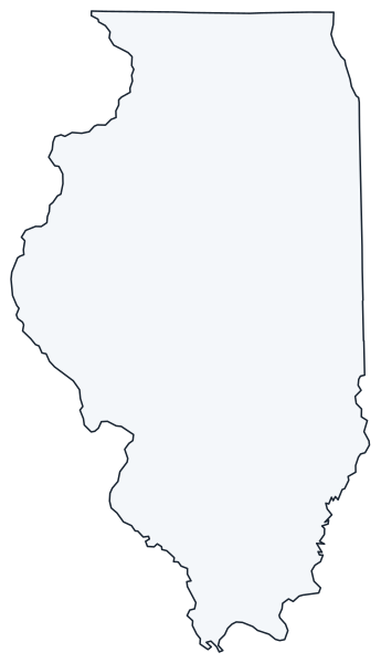
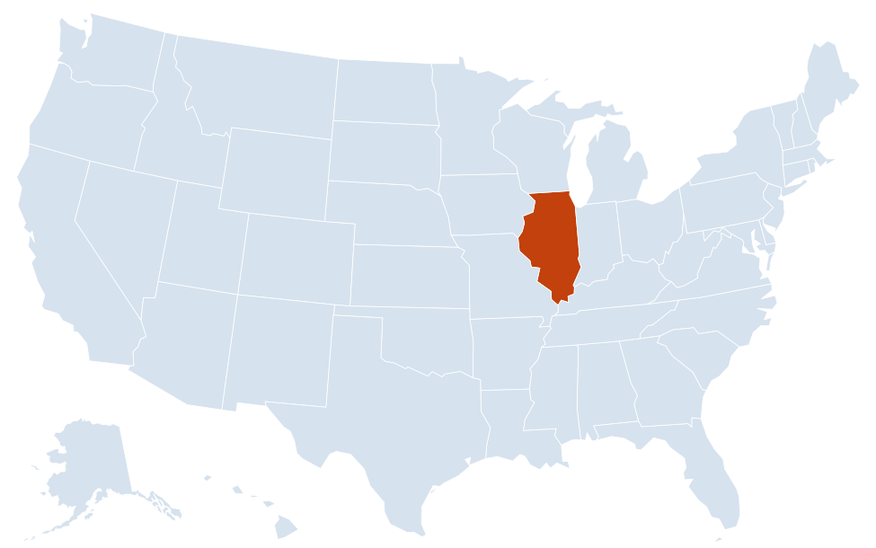
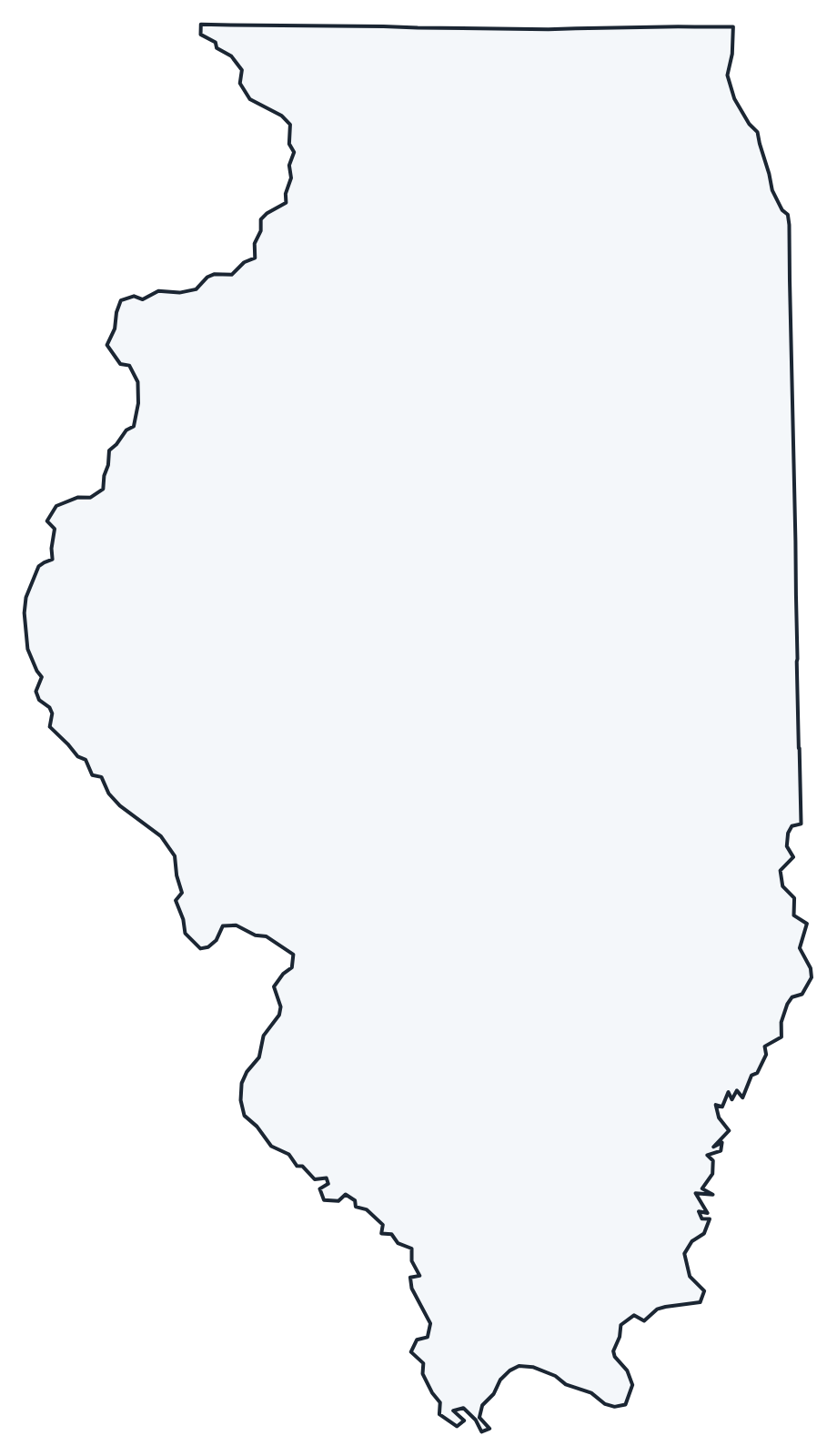
A blank outline of Illinois for coloring, labeling or school projects, and a locator map showing the state within the US. Free for personal and classroom use.
For all 102 counties with county seats and 2020 population, and a printable labeled map, see the Illinois county map.
Frequently asked questions
What is the capital of Illinois?
Springfield, in central Illinois. Chicago is far larger but has never been the capital; Kaskaskia and Vandalia were the earlier capitals.
How many counties are in Illinois?
There are 102 counties. Cook County is the most populous and McLean County is the largest by land area.
What time zone is Illinois in?
All of Illinois uses Central Time and observes daylight saving time. Most of neighboring Indiana is on Eastern Time, but the Indiana counties next to Chicago use Central Time.
Does Illinois border Michigan?
Only by water. The Illinois–Michigan boundary runs through Lake Michigan; the two states do not touch on land.
Neighboring and nearby states
Indiana · Iowa · Kentucky · Missouri · Wisconsin · Also in the East North Central division: Indiana, Michigan, Ohio, Wisconsin
Back to the US state map or browse all 50 state maps.
Sources: U.S. Census Bureau (2020 Census, boundaries), USGS. Last reviewed October 2026.