Kentucky State Map
Kentucky is a Southern state bounded by the Ohio River on the north, the Appalachian Mountains on the east and the Mississippi River on the west, with Tennessee along its southern border. Its capital is Frankfort and its largest city is Louisville.
The interactive map shows Kentucky’s largest cities (capital in red) on an OpenStreetMap base map. Turn on Show counties to see all county lines and hover for names.
Kentucky quick facts
| Capital | Frankfort |
|---|---|
| Largest city | Louisville |
| Population (2020) | 4,505,836 (26th of 50) |
| Total area | 40,408 sq mi (37th of 50) |
| Statehood | June 1, 1792 (15th state) |
| Counties | 120 counties · County map |
| Abbreviation | KY (AP style: Ky.) |
| Region | South (East South Central division) |
| Time zone | Eastern Time (ET) in the east; Central Time (CT) in roughly the western half |
| Highest point | Black Mountain, 4,145 ft |
| Borders | Indiana and Ohio (north, across the Ohio River), Illinois (northwest), West Virginia (northeast), Virginia (southeast), Tennessee (south), Missouri (west, across the Mississippi River) |
Largest cities in Kentucky
| Rank | City | Population (2020) |
|---|---|---|
| 1 | Louisville | 633,045 |
| 2 | Lexington | 322,570 |
| 3 | Bowling Green | 72,294 |
| 4 | Owensboro | 60,183 |
| 5 | Covington | 40,961 |
| 6 | Georgetown | 37,086 |
| 7 | Richmond | 34,585 |
| 8 | Florence | 31,946 |
| 9 | Elizabethtown | 31,394 |
| 10 | Hopkinsville | 31,180 |
Louisville merged with Jefferson County in 2003; the figure is the Census “balance” of the metro government, which leaves out the other incorporated cities in the county. Lexington is consolidated with Fayette County. Frankfort had 28,602 residents in 2020.
Regions of Kentucky
- Eastern Coalfield (Cumberland Plateau): the Appalachian part of the state, with narrow valleys, coal towns such as Hazard, Harlan and Pikeville, and the Daniel Boone National Forest and Red River Gorge on its western edge. Black Mountain (4,145 ft), the highest point, is in Harlan County on the Virginia line. Cumberland Gap National Historical Park marks the pass where Kentucky, Virginia and Tennessee meet.
- Bluegrass Region: rolling limestone country in the north-central part of the state, known for horse farms and bourbon distilleries, with Lexington, Frankfort on the Kentucky River, Georgetown and Richmond. Louisville lies at its western edge, and Covington, Newport and Florence form Northern Kentucky, part of the Cincinnati metro area. Louisville hosts the Kentucky Derby at Churchill Downs each May.
- The Knobs: a horseshoe of cone-shaped hills ringing the Bluegrass, including the hills around Berea.
- Pennyroyal (Pennyrile) Plateau: a karst region of sinkholes and caves in south-central Kentucky around Bowling Green, Glasgow, Somerset and Hopkinsville. Mammoth Cave National Park protects the longest known cave system in the world.
- Western Coal Field: lowland farm and coal country along the Ohio River around Owensboro, Henderson and Madisonville.
- Jackson Purchase: the far western tip between the Tennessee and Mississippi rivers, with Paducah, Mayfield and Murray.
Kentucky was part of Virginia until it became the 15th state on June 1, 1792. Fort Knox, the Army post and site of the US Bullion Depository, is between Louisville and Elizabethtown.
Rivers and lakes
The Ohio River forms the entire northern border, past Ashland, Maysville, Covington, Louisville, Owensboro, Henderson and Paducah. The Big Sandy River and its Tug Fork separate Kentucky from West Virginia. In the west, dams on the Tennessee and Cumberland rivers created Kentucky Lake and Lake Barkley, with the Land Between the Lakes National Recreation Area between them.
At the far southwest, the Kentucky Bend is a small piece of Fulton County inside a loop of the Mississippi River. It can be reached by road only through Tennessee, because the river cuts it off from the rest of Kentucky and from Missouri.
Major highways
- I-64: from Louisville east through Frankfort and Lexington toward Ashland and West Virginia.
- I-65: from Louisville south through Elizabethtown and Bowling Green to Tennessee.
- I-75: from Covington south through Florence, Georgetown, Lexington, Richmond, London and Corbin to Tennessee.
- I-71: from Louisville northeast to the Cincinnati area.
- I-24: from Illinois at Paducah southeast past Hopkinsville toward Nashville.
- I-69 and I-165: upgraded parkways in western Kentucky; I-69 runs from Fulton through Mayfield and Madisonville to Henderson, and I-165 links Bowling Green with Owensboro.
- Parkways and US 23: the Bluegrass, Mountain and Hal Rogers parkways reach central and eastern Kentucky; US 23 follows the eastern edge from Ashland to Pikeville.
Printable Kentucky maps
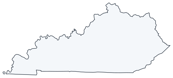
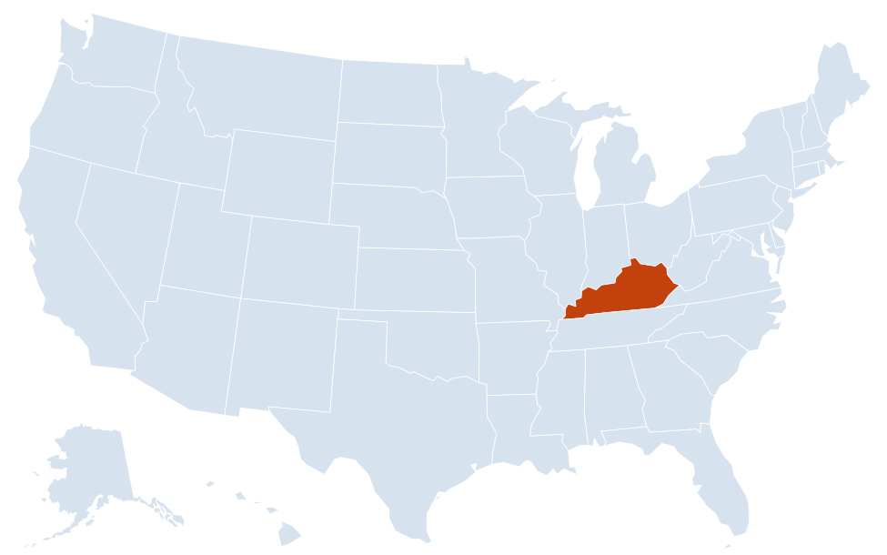
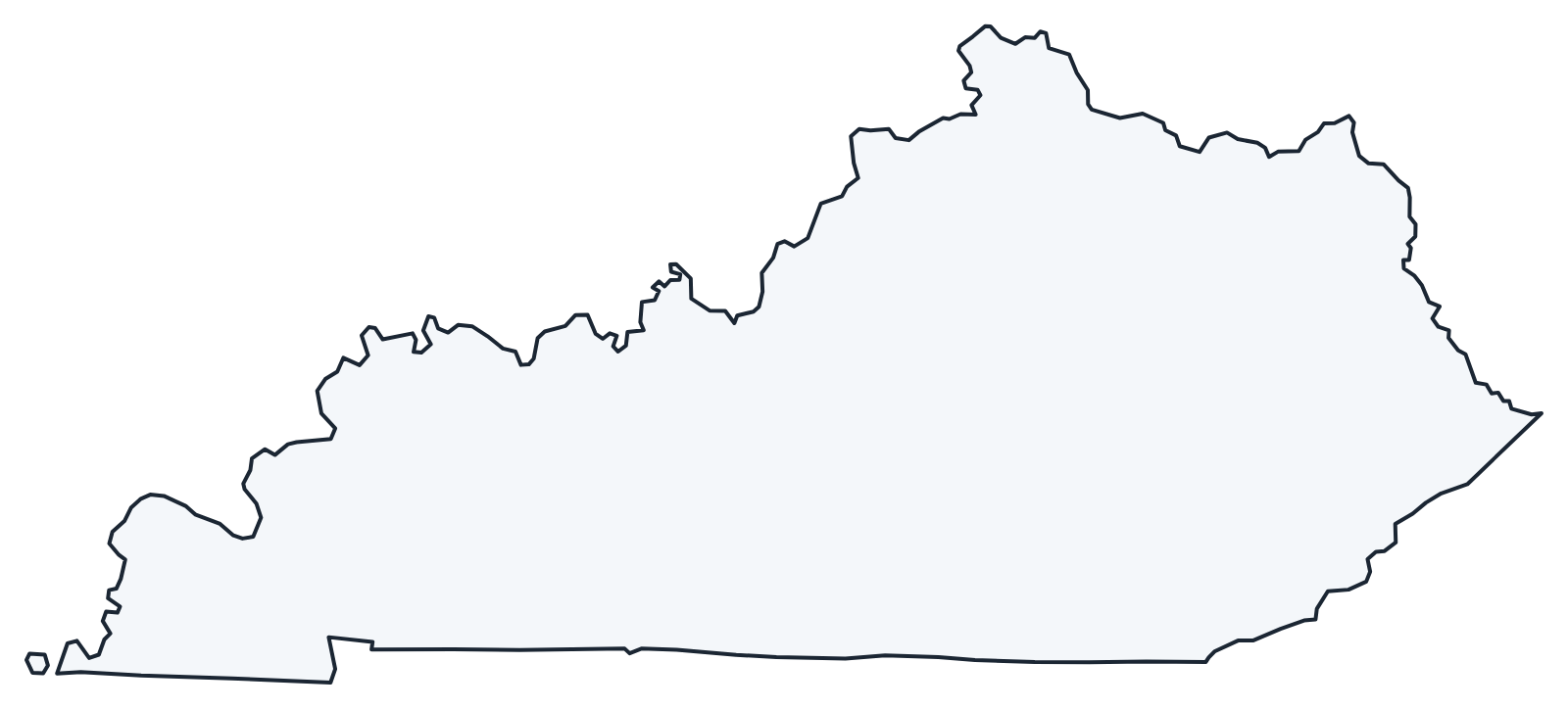
A blank outline of Kentucky for coloring, labeling or school projects, and a locator map showing the state within the US. Free for personal and classroom use.
For all 120 counties with county seats and 2020 population, and a printable labeled map, see the Kentucky county map.
Frequently asked questions
What is the capital of Kentucky?
Frankfort, on the Kentucky River between Louisville and Lexington. Louisville is the largest city. See all capitals on the US map with capitals.
How many counties are in Kentucky?
There are 120 counties. Jefferson County (Louisville) is the most populous, and Pike County in the far east is the largest by land area.
What time zones are in Kentucky?
Eastern Kentucky, including Louisville, Lexington, Frankfort and Northern Kentucky, uses Eastern Time. Roughly the western half, including Bowling Green, Owensboro and Paducah, uses Central Time. See the US time zones map.
Is Kentucky a state or a commonwealth?
Both. Its official name is the Commonwealth of Kentucky, a title it shares with Massachusetts, Pennsylvania and Virginia, but it is a state with the same status as the other 49.
Neighboring and nearby states
Illinois · Indiana · Missouri · Ohio · Tennessee · Virginia · West Virginia · Also in the East South Central division: Alabama, Mississippi, Tennessee
Back to the US state map or browse all 50 state maps.
Sources: U.S. Census Bureau (2020 Census, boundaries), USGS, National Park Service. Last reviewed October 2026.