Washington State Map
Washington is the northwesternmost of the contiguous states, bordered by Canada to the north and the Pacific Ocean to the west. Its capital is Olympia and its largest city is Seattle.
The interactive map shows Washington’s largest cities (capital in red) on an OpenStreetMap base map. Turn on Show counties to see all county lines and hover for names.
Washington quick facts
| Capital | Olympia |
|---|---|
| Largest city | Seattle |
| Population (2020) | 7,705,281 (13th of 50) |
| Total area | 71,298 sq mi (18th of 50) |
| Statehood | November 11, 1889 (42nd state) |
| Counties | 39 counties · County map |
| Abbreviation | WA (AP style: Wash.) |
| Region | West (Pacific division) |
| Time zone | Pacific Time (PT) |
| Highest point | Mount Rainier, about 14,410 ft |
| Borders | Idaho (east), Oregon (south), British Columbia, Canada (north), Pacific Ocean (west) |
Largest cities in Washington
| Rank | City | Population (2020) |
|---|---|---|
| 1 | Seattle | 737,015 |
| 2 | Spokane | 228,989 |
| 3 | Tacoma | 219,346 |
| 4 | Vancouver | 190,915 |
| 5 | Bellevue | 151,854 |
| 6 | Kent | 136,588 |
| 7 | Everett | 110,629 |
| 8 | Renton | 106,785 |
| 9 | Spokane Valley | 102,976 |
Four of the nine largest cities (Seattle, Bellevue, Kent and Renton) are in King County, and two (Spokane and Spokane Valley) are in Spokane County. Olympia, the capital, is much smaller and does not make this list.
Geography of Washington
The Cascade Range splits Washington into two very different halves. Moist Pacific air drops most of its rain on the western slopes, leaving the east in a rain shadow.
Western Washington
- Olympic Peninsula: the Olympic Mountains and the Hoh Rain Forest, one of the wettest places in the contiguous US, protected in Olympic National Park.
- Puget Sound lowland: a long inland sea fringed by the Seattle–Tacoma–Everett metro area, home to most of the state’s population.
- San Juan Islands: an archipelago between the mainland and Vancouver Island, reached by state ferries.
- Southwest Washington: Vancouver, across the Columbia River from Portland, Oregon, and the Long Beach Peninsula on the coast.
The Cascade Range
A chain of volcanic peaks runs north to south: Mount Baker, Glacier Peak, Mount Rainier, Mount Adams and Mount St. Helens, which erupted in 1980. Mount Rainier and North Cascades are national parks; Mount St. Helens is a national volcanic monument.
Eastern Washington
- Columbia Plateau: dry basalt country carved by Ice Age floods, now irrigated farmland around Yakima, Wenatchee and the Tri-Cities (Kennewick, Pasco, Richland).
- The Palouse: rolling wheat hills in the southeast near Pullman and Walla Walla.
- Okanogan Highlands and Spokane: forested hills in the northeast and the region’s largest city, Spokane.
Rivers and lakes
- Columbia River: enters from British Columbia in the northeast, makes a wide bend through central Washington and forms most of the border with Oregon on its way to the Pacific. The Grand Coulee Dam on the Columbia is one of the largest concrete structures in the US.
- Lake Roosevelt: the long reservoir behind Grand Coulee Dam, managed as Lake Roosevelt National Recreation Area.
- Snake River: flows in from Idaho, forms part of the Idaho border near Clarkston and joins the Columbia near the Tri-Cities.
- Yakima and Spokane rivers: the Yakima drains the irrigated valleys east of the Cascades; the Spokane flows west from Idaho through downtown Spokane to the Columbia.
- Skagit River: the largest river draining into Puget Sound, flowing from the North Cascades past Mount Vernon.
- Lake Chelan: a narrow glacial lake about 50 miles long reaching deep into the Cascades from the town of Chelan.
- Lake Washington: the large lake between Seattle and Bellevue, crossed by floating bridges on I-90 and SR 520.
Washington county map
Washington has 39 counties. King County, home to Seattle and its Eastside suburbs, is the most populous, with 2,269,675 residents in the 2020 Census, nearly 30 percent of the state. The next largest are Pierce County (Tacoma), Snohomish County (Everett), Spokane County (Spokane) and Clark County (Vancouver). Okanogan County in the north-central part of the state is the largest by area, while San Juan County, made up of islands, is the smallest. Garfield County in the southeast has the fewest people.
County seats usually match the main city, but not always: Benton County, which includes Kennewick and Richland, has its seat in the small town of Prosser.
Major highways
- I-5: the main north–south route, from Vancouver through Olympia, Tacoma, Seattle, Everett and Bellingham to the Canadian border.
- I-90: east from Seattle over Snoqualmie Pass to Ellensburg, Moses Lake and Spokane.
- I-82: from Ellensburg through Yakima and the Tri-Cities into Oregon; the short I-182 spur links Richland and Pasco.
- I-405 and I-205: bypasses on Seattle’s Eastside and around Vancouver.
- US 2, US 12 and SR 20: mountain passes over the Cascades; SR 20 (North Cascades Highway) closes in winter.
- US 101: loops around the Olympic Peninsula and down the Pacific coast.
- US 395: north from the Tri-Cities through Ritzville and Spokane to the Canadian border.
- Washington State Ferries: part of the highway system, linking Seattle, Edmonds and Mukilteo with the Kitsap Peninsula and Whidbey Island, and Anacortes with the San Juan Islands.
Printable Washington maps
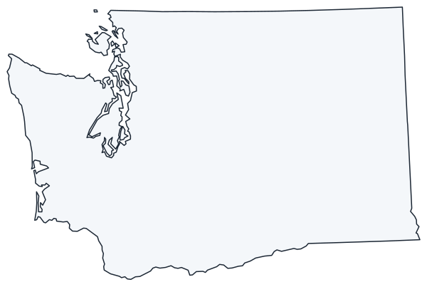
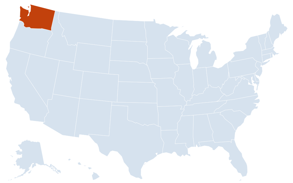
A blank outline of Washington for coloring, labeling or school projects, and a locator map showing the state within the US. Free for personal and classroom use.

For all 39 counties with county seats and 2020 population, and a printable labeled map, see the Washington county map.
Frequently asked questions
What is the capital of Washington state?
Olympia, at the southern end of Puget Sound. Seattle is the largest city, but not the capital.
How many counties are in Washington?
There are 39 counties. King County, which includes Seattle, is the most populous; Okanogan County is the largest by area.
Is Washington state the same as Washington, D.C.?
No. Washington state is in the Pacific Northwest, while Washington, D.C., the national capital, is on the East Coast between Maryland and Virginia, about 2,300 miles away.
What time zone is Washington in?
The whole state uses Pacific Time and observes daylight saving time.
What is the highest mountain in Washington?
Mount Rainier, an active volcano about 14,410 ft high, southeast of Tacoma. It is protected in Mount Rainier National Park and is visible from much of the Puget Sound area on clear days.
Neighboring and nearby states
Idaho · Oregon · Also in the Pacific division: Alaska, California, Hawaii
Back to the US state map or browse all 50 state maps.
Sources: U.S. Census Bureau (2020 Census, boundaries), USGS, National Park Service. Last reviewed October 2026.