Iowa State Map
Iowa is a Midwestern farm state framed by two great rivers: the Mississippi on the east and the Missouri on the west. Its capital and largest city is Des Moines, in the center of the state.
The interactive map shows Iowa’s largest cities (capital in red) on an OpenStreetMap base map. Turn on Show counties to see all county lines and hover for names.
Iowa quick facts
| Capital | Des Moines |
|---|---|
| Largest city | Des Moines |
| Population (2020) | 3,190,369 (31st of 50) |
| Total area | 56,273 sq mi (26th of 50) |
| Statehood | December 28, 1846 (29th state) |
| Counties | 99 counties · County map |
| Abbreviation | IA (AP style: Iowa) |
| Region | Midwest (West North Central division) |
| Time zone | Central Time (CT) |
| Highest point | Hawkeye Point, 1,670 ft |
| Borders | Minnesota (north), Wisconsin and Illinois (east, across the Mississippi River), Missouri (south), Nebraska and South Dakota (west, across the Missouri and Big Sioux rivers) |
Largest cities in Iowa
| Rank | City | Population (2020) |
|---|---|---|
| 1 | Des Moines (capital) | 214,133 |
| 2 | Cedar Rapids | 137,710 |
| 3 | Davenport | 101,724 |
| 4 | Sioux City | 85,797 |
| 5 | Iowa City | 74,828 |
| 6 | West Des Moines | 68,723 |
| 7 | Ankeny | 67,887 |
| 8 | Waterloo | 67,314 |
| 9 | Ames | 66,427 |
| 10 | Council Bluffs | 62,799 |
Regions of Iowa
Iowa is mostly gently rolling farmland, and cropland covers most of the state. The landforms differ mainly in how recently glaciers covered them and how much wind-blown silt (loess) was left behind. Most of the 99 counties are near-square blocks laid out on the federal survey grid, which gives the Iowa county map its checkerboard look.
- Des Moines Lobe: the flattest part of the state, a tongue of young glacial deposits reaching from the Minnesota line south to Des Moines, with Ames, Fort Dodge and Clear Lake. Its northwest corner holds the Iowa Great Lakes, including Spirit Lake and West Okoboji.
- Northwest Iowa: open prairie farmland around Sioux Center, and Hawkeye Point (1,670 ft), the state’s highest point, on a farm in Osceola County near Sibley.
- Loess Hills: steep ridges of wind-blown silt along the Missouri River valley between Sioux City and Council Bluffs, across the river from Omaha, Nebraska.
- Southern Iowa Drift Plain: older, more eroded hills with pasture and woodland across the south, around Creston and Ottumwa.
- Eastern Iowa: the Cedar Rapids–Iowa City corridor, home of the University of Iowa, and Waterloo–Cedar Falls on the Cedar River. Iowa City was the first state capital; the government moved to Des Moines in 1857. Dubuque, on the Mississippi bluffs, is the oldest city.
- Driftless Area (Paleozoic Plateau): bluffs, cold-water streams and limestone outcrops in the northeast around Decorah, plus Effigy Mounds National Monument above the Mississippi.
Rivers and borders
The Mississippi River forms the entire eastern border, passing Dubuque, Clinton, the Quad Cities (Davenport and Bettendorf in Iowa; Rock Island and Moline in Illinois), Burlington and Keokuk. On the west, the Missouri River separates Iowa from Nebraska and the Big Sioux River from South Dakota. Inside the state, the Des Moines, Iowa and Cedar rivers drain southeast toward the Mississippi; Des Moines grew where the Raccoon River meets the Des Moines River.
Parks and landmarks
Iowa has no national park. The National Park Service manages Effigy Mounds National Monument and the Herbert Hoover National Historic Site in West Branch, the birthplace of the 31st president. The Amana Colonies, seven villages founded by German religious settlers, lie west of Iowa City.
Major highways
- I-80: the main east–west route, from Council Bluffs through Des Moines and Iowa City to Davenport and Illinois.
- I-35: from the Missouri line north through Des Moines and Ames to Clear Lake and Minnesota.
- I-29: along the Missouri River from Missouri through Council Bluffs and Sioux City to South Dakota.
- I-380: from I-80 near Iowa City north through Cedar Rapids to Waterloo.
- I-74 and I-280: the Quad Cities connections into Illinois; I-235 crosses downtown Des Moines.
- US 20, US 30 and US 61: US 20 links Dubuque, Waterloo, Fort Dodge and Sioux City; US 30, the historic Lincoln Highway, runs through Cedar Rapids and Ames; US 61 follows the Mississippi.
Printable Iowa maps
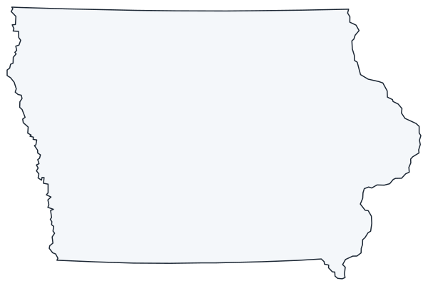
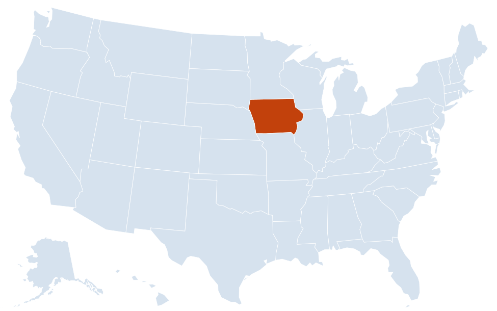
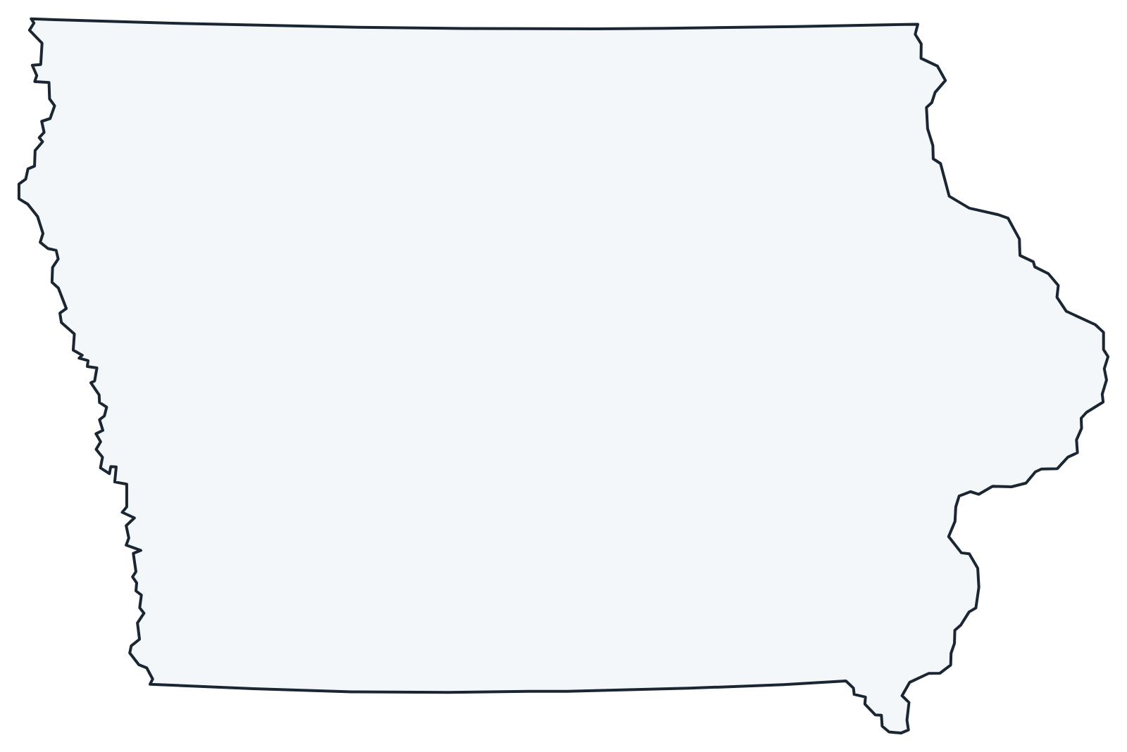
A blank outline of Iowa for coloring, labeling or school projects, and a locator map showing the state within the US. Free for personal and classroom use.
For all 99 counties with county seats and 2020 population, and a printable labeled map, see the Iowa county map.
Frequently asked questions
What is the capital of Iowa?
Des Moines, which is also the largest city. It lies in central Iowa on the Des Moines River. See all capitals on the US map with capitals.
How many counties are in Iowa?
There are 99 counties. Polk County (Des Moines) is the most populous, and Kossuth County in the north is the largest by land area.
What time zone is Iowa in?
All of Iowa uses Central Time and observes daylight saving time. See the US time zones map.
Which rivers form Iowa’s borders?
The Mississippi River forms the whole eastern border. In the west, the Missouri River borders Nebraska and the Big Sioux River borders South Dakota. A short stretch of the Des Moines River separates the southeast corner from Missouri.
Neighboring and nearby states
Illinois · Minnesota · Missouri · Nebraska · South Dakota · Wisconsin · Also in the West North Central division: Kansas, Minnesota, Missouri, Nebraska, North Dakota, South Dakota
Back to the US state map or browse all 50 state maps.
Sources: U.S. Census Bureau (2020 Census, boundaries), USGS, National Park Service. Last reviewed October 2026.