West Virginia State Map
West Virginia is a mountainous state in the central Appalachians, wedged between Ohio, Pennsylvania, Maryland, Virginia and Kentucky, with two narrow panhandles reaching north and east. Its capital and largest city is Charleston, on the Kanawha River.
The interactive map shows West Virginia’s largest cities (capital in red) on an OpenStreetMap base map. Turn on Show counties to see all county lines and hover for names.
West Virginia quick facts
| Capital | Charleston |
|---|---|
| Largest city | Charleston |
| Population (2020) | 1,793,716 (39th of 50) |
| Total area | 24,230 sq mi (41st of 50) |
| Statehood | June 20, 1863 (35th state) |
| Counties | 55 counties · County map |
| Abbreviation | WV (AP style: W.Va.) |
| Region | South (South Atlantic division) |
| Time zone | Eastern Time (ET) |
| Highest point | Spruce Knob, about 4,863 ft |
| Borders | Pennsylvania (north), Maryland (northeast), Virginia (east and southeast), Kentucky (southwest), Ohio (northwest, across the Ohio River) |
Where is West Virginia?
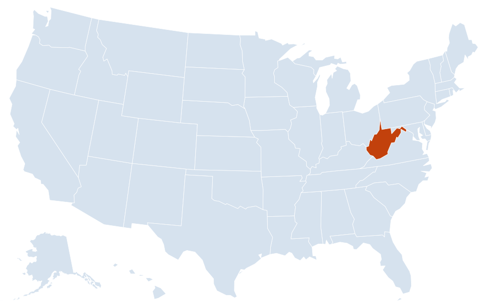
West Virginia is in the South region of the United States. Neighboring states: Pennsylvania, Maryland, Virginia, Kentucky, Ohio.
Largest cities in West Virginia
| Rank | City | Population (2020) |
|---|---|---|
| 1 | Charleston (capital) | 48,864 |
| 2 | Huntington | 46,842 |
| 3 | Morgantown | 30,347 |
| 4 | Parkersburg | 29,738 |
| 5 | Wheeling | 27,052 |
| 6 | Weirton | 19,163 |
| 7 | Martinsburg | 18,777 |
| 8 | Fairmont | 18,416 |
| 9 | Beckley | 17,286 |
| 10 | Clarksburg | 16,061 |
No West Virginia city reaches 50,000 people. Kanawha County, around Charleston, is the most populous county with 180,745 residents in 2020.
Regions of West Virginia
West Virginia has no large flat areas: almost the whole state is ridges, plateaus and narrow river valleys. Its odd outline comes from rivers and old colonial survey lines, and from the way it split from Virginia during the Civil War.
Northern Panhandle
A strip of land only a few miles wide between the Ohio River and Pennsylvania. It holds Wheeling and Weirton, old steel and river towns, and is the northernmost part of the South region.
Eastern Panhandle
The lower, eastern end of the state, in the Shenandoah Valley and along the Potomac River, within commuting range of the Washington, D.C., area. It includes Martinsburg, Charles Town and Harpers Ferry, where the Shenandoah meets the Potomac at the corner of West Virginia, Virginia and Maryland. Harpers Ferry National Historical Park preserves the town.
Potomac Highlands and the Allegheny Mountains
The highest and most rugged part of the state, along the eastern border with Virginia. Spruce Knob, the state’s highest point, Seneca Rocks, Dolly Sods and Canaan Valley lie within or near the Monongahela National Forest. Elkins is the main town.
North-central West Virginia
Rolling hills along I-79 with Morgantown, home of West Virginia University, Fairmont and Clarksburg. The Monongahela River flows north from here into Pennsylvania.
Southern coalfields
Steep, forested plateau country cut by deep valleys, centered on Beckley, Bluefield, Logan and Williamson. New River Gorge National Park and Preserve protects the gorge of the New River, crossed by the New River Gorge Bridge on US 19.
Kanawha and Ohio valleys
Most of the state’s flat land is along these rivers. Charleston sits on the Kanawha, and Huntington, Point Pleasant and Parkersburg are Ohio River cities facing Ohio.
Rivers and borders
Rivers mark much of the boundary. The Ohio River forms the entire border with Ohio. The Big Sandy River and its Tug Fork separate West Virginia from Kentucky, and the Potomac River forms most of the border with Maryland. The Kanawha River, formed where the New and Gauley rivers meet, flows through Charleston to the Ohio at Point Pleasant. The northern border with Pennsylvania follows the Mason–Dixon line.
West Virginia was part of Virginia until the Civil War. Its western counties rejected Virginia’s secession in 1861 and formed a new state, admitted to the Union on June 20, 1863.
Major highways
- I-64: from the Kentucky line at Huntington east to Charleston, Beckley and Lewisburg, then into Virginia.
- I-77: from the Ohio River near Parkersburg south to Charleston, then with I-64 on the West Virginia Turnpike to Beckley and on to Princeton and Virginia.
- I-79: north from Charleston to Clarksburg, Fairmont and Morgantown, continuing to Pittsburgh.
- I-68: east from Morgantown into western Maryland.
- I-70 and I-81: short crossings of the panhandles, I-70 through Wheeling and I-81 through Martinsburg.
- US 19: a four-lane shortcut from I-79 south to Beckley, crossing the New River Gorge Bridge.
- US 50 and Corridor H (US 48): US 50 links Parkersburg and Clarksburg; Corridor H runs east from I-79 at Weston through Elkins toward Virginia.
Printable West Virginia maps
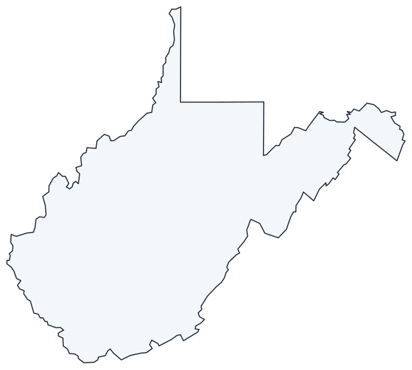
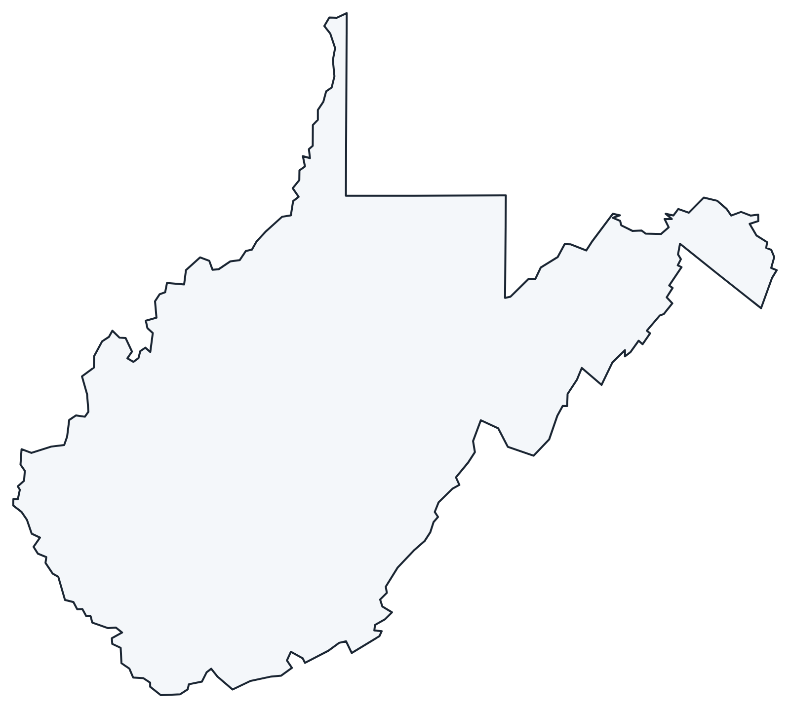
A blank outline of West Virginia for coloring, labeling or school projects, and a locator map showing the state within the US. Free for personal and classroom use.
For all 55 counties with county seats and 2020 population, and a printable labeled map, see the West Virginia county map.
Frequently asked questions
What is the capital of West Virginia?
Charleston, which is also the largest city. It lies where the Elk River joins the Kanawha River.
How many counties are in West Virginia?
There are 55 counties. Kanawha County (Charleston) is the most populous, and Randolph County (Elkins) is the largest by area.
What time zone is West Virginia in?
The whole state uses Eastern Time and observes daylight saving time.
Why did West Virginia split from Virginia?
When Virginia voted to secede in 1861, delegates from its northwestern counties stayed loyal to the Union and organized a separate government. Congress admitted West Virginia as the 35th state on June 20, 1863.
Neighboring and nearby states
Pennsylvania · Maryland · Virginia · Kentucky · Ohio · Also in the South Atlantic division: Delaware, Florida, Georgia, Maryland, North Carolina, South Carolina, Virginia
Back to the US state map or browse all 50 state maps.
Sources: U.S. Census Bureau (2020 Census, boundaries), USGS, National Park Service. Last reviewed October 2026.