Minnesota State Map
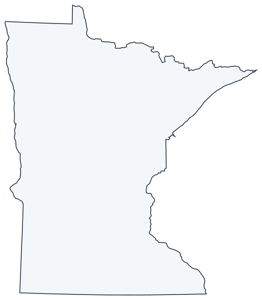
Minnesota is in the Upper Midwest, bordered by Canada to the north and Lake Superior to the northeast; its Northwest Angle is the northernmost point of the contiguous United States. This Minnesota state map shows its 87 counties, cities and highways. The capital is Saint Paul and the largest city is Minneapolis, its neighbor across the Mississippi River.
The interactive map shows Minnesota’s largest cities (capital in red) on an OpenStreetMap base map. Turn on Show counties to see all county lines and hover for names.
Minnesota quick facts
| Capital | Saint Paul |
|---|---|
| Largest city | Minneapolis |
| Population (2020) | 5,706,494 (22nd of 50) |
| Total area | 86,936 sq mi (12th of 50) |
| Statehood | May 11, 1858 (32nd state) |
| Counties | 87 counties · County map |
| Abbreviation | MN (AP style: Minn.) |
| Region | Midwest (West North Central division) |
| Time zone | Central Time (CT) |
| Highest point | Eagle Mountain, 2,301 ft |
| Borders | Wisconsin (east), Iowa (south), South Dakota and North Dakota (west), Manitoba and Ontario, Canada (north), Lake Superior (northeast; water border with Michigan) |
Where is Minnesota?
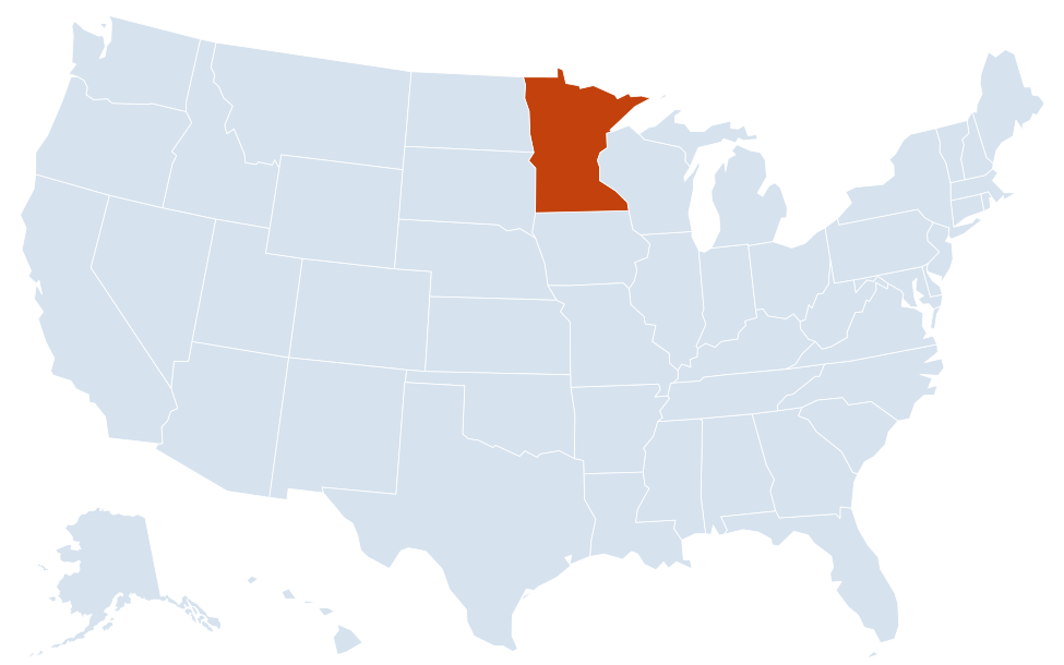
Minnesota is in the Midwest region of the United States. Neighboring states: Iowa, North Dakota, South Dakota, Wisconsin, with a water border to Michigan in Lake Superior.
Largest cities in Minnesota
| Rank | City | Population (2020) |
|---|---|---|
| 1 | Minneapolis | 429,954 |
| 2 | Saint Paul (capital) | 311,527 |
| 3 | Rochester | 121,395 |
| 4 | Bloomington | 89,987 |
| 5 | Duluth | 86,697 |
| 6 | Brooklyn Park | 86,478 |
| 7 | Plymouth | 81,026 |
| 8 | Woodbury | 75,102 |
| 9 | Maple Grove | 70,253 |
| 10 | Blaine | 70,222 |
Eight of the ten are in the Twin Cities metro area. Rochester, in the southeast, and Duluth, on Lake Superior, are the largest cities outside it; St. Cloud (68,881) is next.
Regions of Minnesota
Ice Age glaciers shaped almost all of Minnesota, leaving a mostly level landscape dotted with lakes. The “Land of 10,000 Lakes” actually has more than 10,000 natural lakes.
Twin Cities metro
Minneapolis and Saint Paul sit on the Mississippi River near where the Minnesota River joins it. With suburbs such as Bloomington, Brooklyn Park, Plymouth and Woodbury, the metro area is home to more than half of all Minnesotans.
Arrowhead and North Shore
The pointed northeast corner, between Lake Superior and the Canadian border, holds Duluth, the scenic North Shore up to Grand Marais and Grand Portage, and the Boundary Waters Canoe Area Wilderness. Eagle Mountain (2,301 ft), the highest point, is in Cook County; the Lake Superior shore (601 ft) is the lowest.
Iron Range
The Mesabi and Vermilion ranges around Hibbing, Virginia and Ely have produced iron ore since the late 1800s, and open-pit taconite mines still operate.
North Woods and lake country
- Voyageurs National Park: Minnesota’s only national park, a water-based park of connected lakes near International Falls.
- Lake Itasca: the source of the Mississippi River, in Itasca State Park north of Park Rapids.
- Red Lake and Lake of the Woods: Red Lake is the largest lake entirely within the state; Lake of the Woods, shared with Canada, borders the Northwest Angle.
- Brainerd Lakes and Bemidji: resort areas packed with lakes and cabins.
Red River Valley
The flat bed of glacial Lake Agassiz along the North Dakota border. The Red River flows north into Canada, past Moorhead and its twin city of Fargo, North Dakota.
Southern Minnesota
Prairie farmland around Mankato, Worthington and Albert Lea; Rochester, home of the Mayo Clinic; and the southeastern Bluff Country, where the Mississippi runs between tall bluffs past Red Wing and Winona. Pipestone National Monument is in the southwest.
Major highways
- I-35: from the Iowa line near Albert Lea north through Owatonna; it splits into I-35W (Minneapolis) and I-35E (Saint Paul), then rejoins and ends in Duluth.
- I-94: from the Wisconsin line through Saint Paul, Minneapolis, St. Cloud, Alexandria and Fergus Falls to Moorhead.
- I-90: across southern Minnesota through Worthington, Albert Lea and Austin to La Crescent on the Mississippi.
- I-494 and I-694: the beltway around the Twin Cities; I-394 links downtown Minneapolis with the western suburbs.
- US 52 and US 169: the Twin Cities to Rochester, and to Mankato in the south and the Iron Range in the north.
- US 2 and US 10: Grand Forks–Bemidji–Duluth across the north, and the Twin Cities to Moorhead via St. Cloud and Detroit Lakes.
- MN 61: the North Shore Scenic Drive from Duluth along Lake Superior to the Canadian border.
Printable Minnesota maps
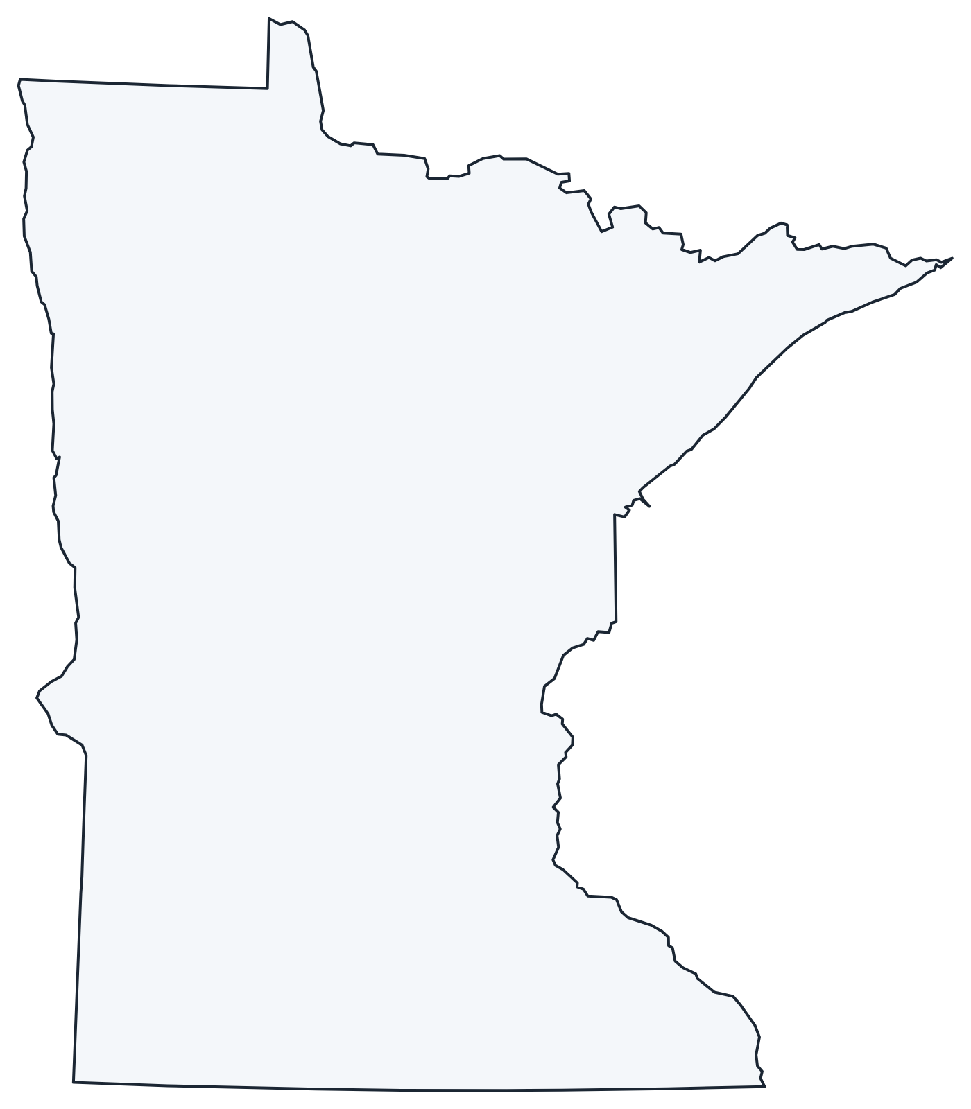
A blank outline of Minnesota for coloring, labeling or school projects, and a locator map showing the state within the US. Free for personal and classroom use.
For all 87 counties with county seats and 2020 population, and a printable labeled map, see the Minnesota county map.
Frequently asked questions
What is the capital of Minnesota?
Saint Paul, on the east bank of the Mississippi River. Minneapolis, directly to the west, is the largest city; together they are called the Twin Cities.
How many counties are in Minnesota?
There are 87 counties. Hennepin County, which includes Minneapolis, is the most populous; St. Louis County, which includes Duluth and much of the Iron Range, is the largest by land area.
What time zone is Minnesota in?
All of Minnesota uses Central Time and observes daylight saving time.
Where does the Mississippi River start?
At Lake Itasca in Itasca State Park, in north-central Minnesota. The river flows north and east before turning south through Minneapolis and Saint Paul.
Neighboring and nearby states
Iowa · North Dakota · South Dakota · Wisconsin · Water border: Michigan · Also in the West North Central division: Iowa, Kansas, Missouri, Nebraska, North Dakota, South Dakota
Back to the US state map or browse all 50 state maps.
Sources: U.S. Census Bureau (2020 Census, boundaries), USGS. Last reviewed October 2026.