Texas State Map
Texas is the second-largest state by both area and population, behind Alaska and California. It has 254 counties, more than any other state. Its capital is Austin and its largest city is Houston.
The interactive map shows Texas’s largest cities (capital in red) on an OpenStreetMap base map. Turn on Show counties to see all county lines and hover for names.
Texas quick facts
| Capital | Austin |
|---|---|
| Largest city | Houston |
| Population (2020) | 29,145,505 (2nd of 50) |
| Total area | 268,596 sq mi (2nd of 50) |
| Statehood | December 29, 1845 (28th state) |
| Counties | 254 counties · County map |
| Abbreviation | TX (AP style: Texas) |
| Region | South (West South Central division) |
| Time zone | Central Time (CT); Mountain Time (MT) in El Paso and Hudspeth counties |
| Highest point | Guadalupe Peak, 8,751 ft |
| Borders | New Mexico (west), Oklahoma (north), Arkansas (northeast), Louisiana (east); Mexico: Chihuahua, Coahuila, Nuevo León and Tamaulipas (south and southwest); the Gulf (southeast) |
Where is Texas?
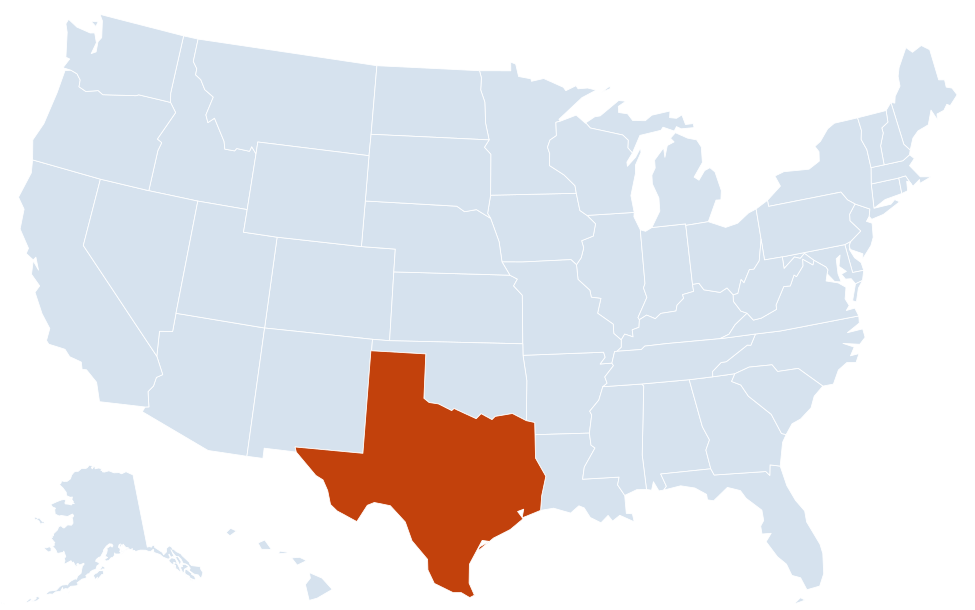
Texas is in the South region of the United States. Neighboring states: New Mexico, Oklahoma, Arkansas, Louisiana.
Largest cities in Texas
| Rank | City | Population (2020) |
|---|---|---|
| 1 | Houston | 2,304,580 |
| 2 | San Antonio | 1,434,625 |
| 3 | Dallas | 1,304,379 |
| 4 | Austin (capital) | 961,855 |
| 5 | Fort Worth | 918,915 |
| 6 | El Paso | 678,815 |
| 7 | Arlington | 394,266 |
| 8 | Corpus Christi | 317,863 |
| 9 | Plano | 285,494 |
| 10 | Laredo | 255,205 |
Houston is the fourth-largest city in the United States, and with San Antonio (7th) and Dallas (9th) Texas has three of the ten largest US cities.
Regions of Texas
- Gulf Coast: Houston, Galveston, Beaumont and Corpus Christi, with refineries, ports and barrier islands such as Padre Island.
- East Texas (Piney Woods): forests and lakes near Tyler, Nacogdoches and the Louisiana line.
- North Texas: the Dallas–Fort Worth metroplex, including Arlington, Plano and Irving.
- Central Texas and the Hill Country: Austin, San Antonio and Waco, with the limestone hills and spring-fed rivers west of I-35.
- South Texas and the Rio Grande Valley: brush country and Laredo, McAllen and Brownsville on the Mexican border.
- West Texas and the Trans-Pecos: desert mountains around El Paso, Big Bend National Park and Guadalupe Mountains National Park, plus the oil fields of the Permian Basin near Midland and Odessa.
- Panhandle and High Plains: the flat Llano Estacado around Lubbock and Amarillo.
Most Texans live in the Texas Triangle, formed by Dallas–Fort Worth, Houston and San Antonio–Austin and linked by I-35, I-45 and I-10.
Rivers, lakes and borders
The Rio Grande forms the entire border with Mexico, about 1,250 miles from El Paso to the Gulf. The Red River marks most of the line with Oklahoma, and the Sabine River much of the border with Louisiana. Texas was an independent republic from 1836 until it joined the Union as the 28th state on December 29, 1845.
Most other major rivers run southeast across the state to the Gulf. The Trinity flows through Dallas–Fort Worth to Galveston Bay, the Brazos passes Waco on its way to the coast south of Houston, and the Colorado River of Texas (not the same river as the Colorado of the Southwest) runs through Austin. The Pecos crosses West Texas from New Mexico and joins the Rio Grande above Del Rio.
Nearly all large lakes in Texas are reservoirs. Lake Texoma on the Red River and Toledo Bend Reservoir on the Sabine straddle the Oklahoma and Louisiana borders; Amistad and Falcon reservoirs are on the Rio Grande; and the Highland Lakes, including Lake Travis, are a chain of reservoirs on the Colorado above Austin.
National parks and public lands
Texas has two national parks, both in the far west. Big Bend National Park sits in the great bend of the Rio Grande in Brewster County, with the Chisos Mountains, desert and river canyons along the Mexican border. Guadalupe Mountains National Park, on the New Mexico line east of El Paso, protects Guadalupe Peak (8,751 ft), the highest point in the state. On the coast, Padre Island National Seashore covers a long stretch of barrier island south of Corpus Christi. The four national forests (Angelina, Davy Crockett, Sabine and Sam Houston) are all in the East Texas Piney Woods.
Texas county map
Texas has 254 counties, far more than any other state; Georgia is second with 159. Harris County, which includes most of Houston, is the most populous (4,731,145 in 2020), followed by Dallas, Tarrant (Fort Worth) and Bexar (San Antonio) counties. Brewster County, home of Big Bend, is the largest by area and is bigger than Connecticut. Loving County in the Permian Basin had just 64 residents in 2020, the fewest of any US county. Turn on the county toggle on the map above to see every county line.
Major highways
- I-10: El Paso to San Antonio, Houston and Beaumont, roughly 880 miles, the longest stretch of any interstate within one state.
- I-35: Laredo to San Antonio, Austin and the Dallas–Fort Worth area (splitting into I-35E and I-35W) to Oklahoma.
- I-45: Galveston and Houston to Dallas.
- I-20 and I-30: West Texas through Midland, Abilene and Fort Worth to Louisiana; and Fort Worth–Dallas to Texarkana.
- I-27 and I-40: Lubbock to Amarillo, and across the Panhandle.
- I-37 and I-69: San Antonio to Corpus Christi, and the growing I-69 corridor toward the Rio Grande Valley.
- I-44 and US 287: I-44 runs from Wichita Falls into Oklahoma; US 287 links Fort Worth with Wichita Falls and Amarillo.
- Beltways: I-610 and Beltway 8 around Houston, I-635 and I-820 in Dallas–Fort Worth, Loop 410 and Loop 1604 around San Antonio.
Printable Texas maps
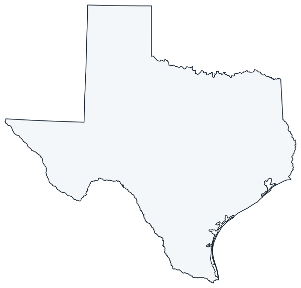
A blank outline of Texas for coloring, labeling or school projects, and a locator map showing the state within the US. Free for personal and classroom use.
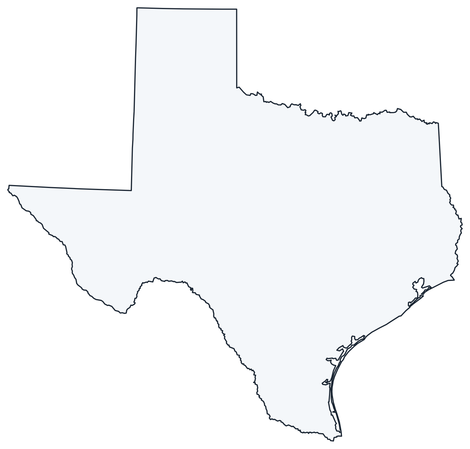
For all 254 counties with county seats and 2020 population, and a printable labeled map, see the Texas county map.
Frequently asked questions
How many counties are in Texas?
There are 254 counties, the most of any state. Harris County (Houston) is the most populous, and Brewster County (Big Bend) is the largest by area.
What is the capital of Texas?
Austin. Houston is the largest city, followed by San Antonio and Dallas.
What time zones are in Texas?
Almost all of Texas uses Central Time. El Paso and Hudspeth counties in the far west use Mountain Time.
What national parks are in Texas?
Big Bend National Park and Guadalupe Mountains National Park, both in West Texas. The National Park Service also manages sites such as Padre Island National Seashore and San Antonio Missions National Historical Park.
How big is Texas?
Texas covers 268,596 square miles. It is the largest of the contiguous states; only Alaska is bigger.
Neighboring and nearby states
New Mexico · Oklahoma · Arkansas · Louisiana · Also in the West South Central division: —
Back to the US state map or browse all 50 state maps.
Sources: U.S. Census Bureau (2020 Census, boundaries), USGS, National Park Service. Last reviewed October 2026.