Rhode Island State Map
Rhode Island, the smallest state by area, wraps around Narragansett Bay in New England between Connecticut and Massachusetts. This Rhode Island state map shows its cities, towns and five counties. Providence is both the capital and the largest city.
The interactive map shows Rhode Island’s largest cities (capital in red) on an OpenStreetMap base map. Turn on Show counties to see all county lines and hover for names.
Rhode Island quick facts
| Capital | Providence |
|---|---|
| Largest city | Providence |
| Population (2020) | 1,097,379 (43rd of 50) |
| Total area | 1,545 sq mi (50th of 50) |
| Statehood | May 29, 1790 (13th state) |
| Counties | 5 counties (no county government) · County map |
| Abbreviation | RI (AP style: R.I.) |
| Region | Northeast (New England division) |
| Time zone | Eastern Time (ET) |
| Highest point | Jerimoth Hill, about 812 ft |
| Borders | Massachusetts (north and east), Connecticut (west), New York (water border, southwest), Atlantic Ocean (south) |
Where is Rhode Island?
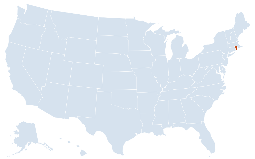
Rhode Island is in the Northeast region of the United States. Neighboring states: Connecticut, Massachusetts; it also shares a water border with New York.
Largest cities in Rhode Island
Rhode Island has 39 municipalities: 8 cities and 31 towns. The table includes the two largest towns, which outnumber several cities.
| Rank | City or town | Population (2020) |
|---|---|---|
| 1 | Providence (capital) | 190,934 |
| 2 | Cranston | 82,934 |
| 3 | Warwick | 82,823 |
| 4 | Pawtucket | 75,604 |
| 5 | East Providence | 47,139 |
| 6 | Woonsocket | 43,240 |
| 7 | Cumberland (town) | 36,405 |
| 8 | Coventry (town) | 35,688 |
Geography of Rhode Island
Rhode Island covers just 1,545 sq mi, a sizable share of it water. Narragansett Bay cuts deep into the state from the south, so most towns are within a short drive of the shore.
Narragansett Bay and its islands
The bay reaches north to Providence and holds several inhabited islands. Aquidneck Island, the largest, contains Newport, Middletown and Portsmouth. Conanicut Island is the town of Jamestown, and Prudence Island lies mid-bay. Bridges link Jamestown and Newport to the mainland and to each other.
Providence metro and the Blackstone Valley
Providence, Cranston, Warwick, Pawtucket and East Providence form a continuous urban area at the head of the bay. North of Providence, the Blackstone River runs through Pawtucket, Central Falls and Woonsocket. Slater Mill in Pawtucket is part of Blackstone River Valley National Historical Park.
South County
Washington County, known locally as South County, holds the state’s ocean beaches and salt ponds, from Narragansett and Point Judith west to Watch Hill in Westerly. Kingston is home to the main campus of the University of Rhode Island.
Block Island
Block Island, the town of New Shoreham, sits in the Atlantic south of the mainland. Ferries run from Point Judith; it is part of Washington County.
Western uplands
The western third of the state is rolling, wooded country of small towns such as Foster, Glocester and Scituate. Jerimoth Hill, the highest point, is in Foster near the Connecticut line. The Scituate Reservoir supplies Providence’s water.
Counties
The five counties are Bristol, Kent, Newport, Providence and Washington. They have had no county government since 1842; services are run by the state and the 39 cities and towns. The counties remain in use as geographic and statistical units, and as divisions for the state court system.
Name and history
Rhode Island was the last of the 13 original colonies to ratify the US Constitution, on May 29, 1790, making it the 13th state. Its official name was long “State of Rhode Island and Providence Plantations”; voters approved shortening it to “State of Rhode Island” in November 2020. Providence was founded by Roger Williams in 1636.
Major highways
- I-95: enters from Connecticut near Westerly and Hopkinton, then runs through Warwick, Providence and Pawtucket into Massachusetts toward Boston.
- I-195: from downtown Providence east through East Providence to Fall River and New Bedford, Massachusetts.
- I-295: a western bypass of Providence from I-95 in Warwick through Johnston and Lincoln to Cumberland and Massachusetts.
- Route 146: from Providence north past Lincoln and North Smithfield toward Worcester, Massachusetts.
- US 1: the old coastal road from Westerly through South County and Warwick to Providence and Pawtucket.
- Route 138 and Route 24: Route 138 crosses the Jamestown and Newport bridges to Aquidneck Island; Route 24 links Portsmouth and Tiverton with Fall River.
- Air and rail: Rhode Island T.F. Green International Airport is in Warwick, beside I-95. Amtrak’s Northeast Corridor stops at Westerly, Kingston and Providence.
- Route 4 and US 6: Route 4 is the expressway from I-95 toward North Kingstown and South County; US 6 heads west from Providence to Connecticut.
Printable Rhode Island maps
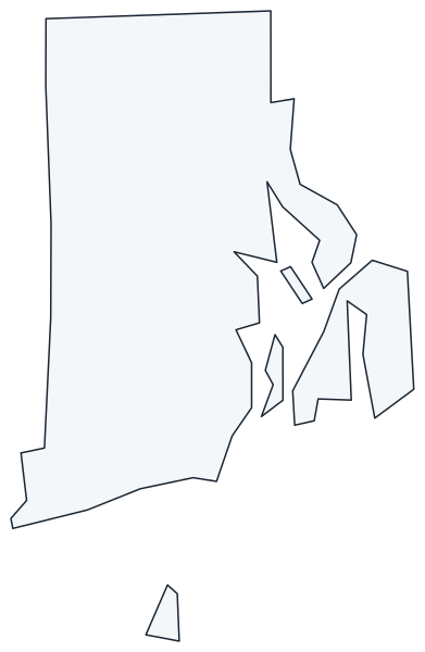
A blank outline of Rhode Island for coloring, labeling or school projects, and a locator map showing the state within the US. Free for personal and classroom use.
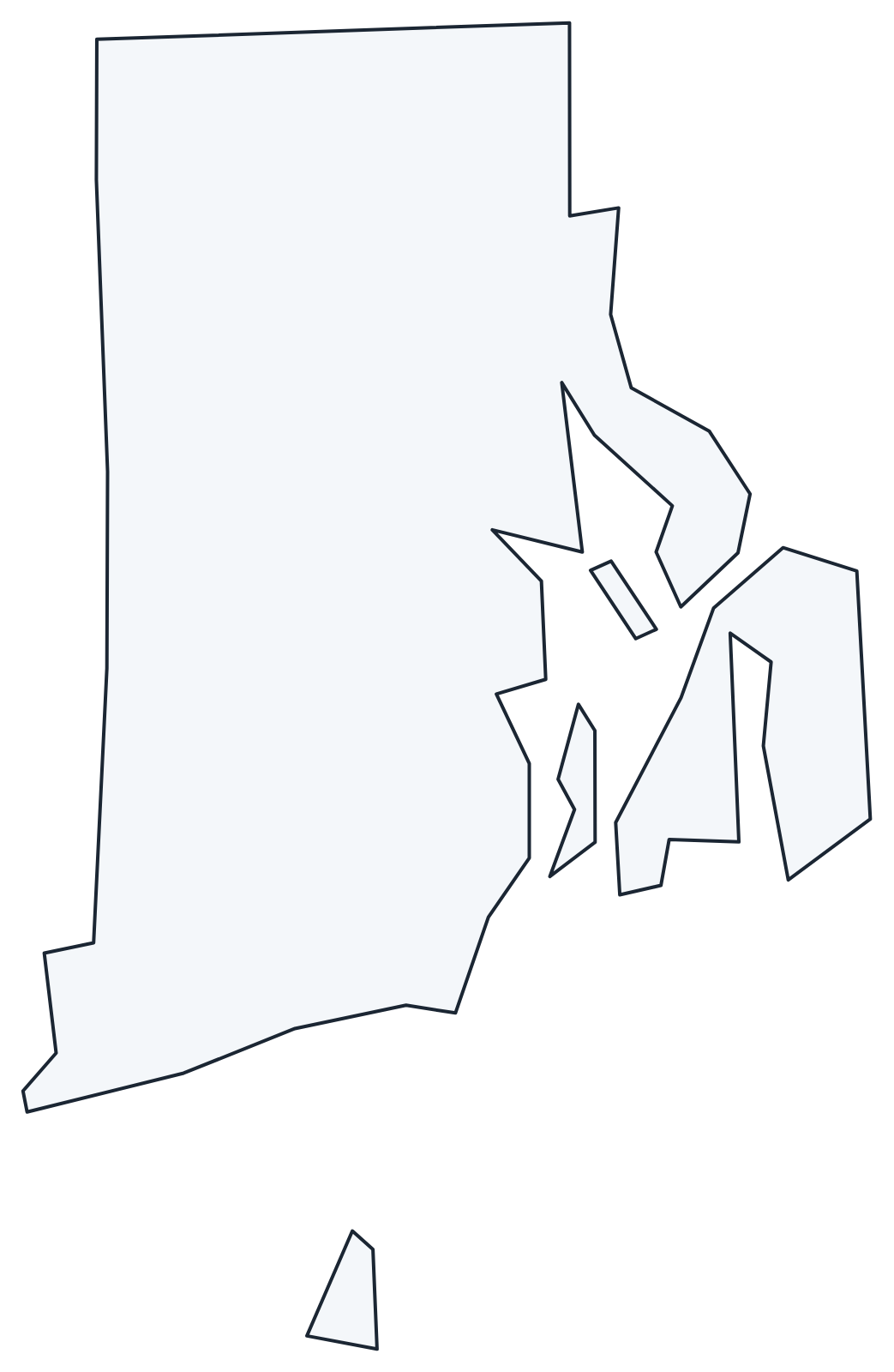
For all 5 counties with county seats and 2020 population, and a printable labeled map, see the Rhode Island county map.
Frequently asked questions
What is the capital of Rhode Island?
Providence, at the head of Narragansett Bay. It is also the largest city, with 190,934 people in 2020.
How many counties are in Rhode Island?
There are 5 counties: Bristol, Kent, Newport, Providence and Washington. Providence County is the most populous and Bristol County the smallest. None has a county government.
What time zone is Rhode Island in?
The whole state uses Eastern Time and observes daylight saving time.
Is Rhode Island an island?
No. Most of the state is on the mainland. The name was historically used for Aquidneck Island in Narragansett Bay, where Newport is. The state also includes Block Island and other islands.
Neighboring and nearby states
Connecticut · Massachusetts · Water border: New York · Also in the New England division: Maine, New Hampshire, Vermont
Back to the US state map or browse all 50 state maps.
Sources: U.S. Census Bureau (2020 Census, boundaries), USGS. Last reviewed October 2026.