Hawaii State Map
This Hawaii state map shows the only US state made up entirely of islands, a chain in the central Pacific Ocean more than 2,000 miles southwest of California. Its capital and largest city is Honolulu, on the island of Oahu.
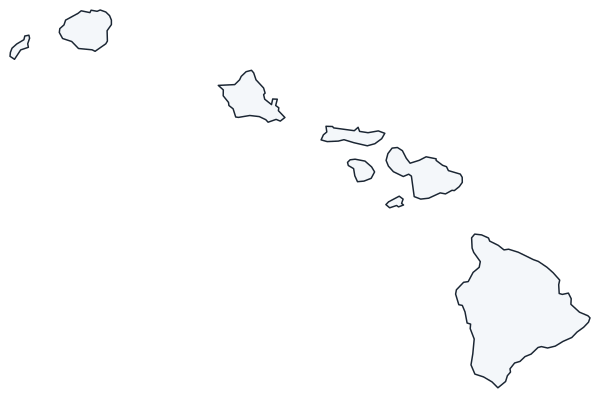
The interactive map shows Hawaii’s largest cities (capital in red) on an OpenStreetMap base map. Turn on Show counties to see all county lines and hover for names.
Hawaii quick facts
| Capital | Honolulu |
|---|---|
| Largest city | Honolulu |
| Population (2020) | 1,455,271 (40th of 50) |
| Total area | 10,932 sq mi (43rd of 50) |
| Statehood | August 21, 1959 (50th state) |
| Counties | 5 counties · County map |
| Abbreviation | HI (AP style: Hawaii) |
| Region | West (Pacific division) |
| Time zone | Hawaii-Aleutian Standard Time (HST) all year; no daylight saving time |
| Highest point | Mauna Kea (Puu Wekiu summit), 13,796 ft |
| Borders | None; an island state surrounded by the Pacific Ocean |
Where is Hawaii?
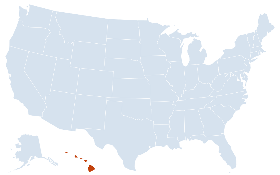
Hawaii is in the West region of the United States. Neighboring states: none; it is an island state with no land borders, more than 2,000 miles from the US mainland.
Largest cities in Hawaii
| Rank | City | Population (2020) |
|---|---|---|
| 1 | Honolulu (capital) | 350,964 |
| 2 | East Honolulu | 50,922 |
| 3 | Pearl City | 45,295 |
| 4 | Hilo | 44,186 |
| 5 | Waipahu | 43,485 |
| 6 | Kailua (Oahu) | 40,514 |
| 7 | Kaneohe | 37,430 |
| 8 | Kahului | 28,219 |
Hawaii has no incorporated cities; local government is run by the counties. The Census Bureau counts communities as census-designated places, so the Honolulu figure is for the “Urban Honolulu” CDP, not the whole City and County of Honolulu (1,016,508 people, the entire island of Oahu).
Islands of Hawaii
The state has eight main islands, all volcanic, plus a long line of small islets and atolls, the Northwestern Hawaiian Islands, protected in Papahānaumokuākea Marine National Monument. From southeast to northwest:
Hawaii (the Big Island)
The largest island, with 4,028 sq mi of land, more than all the other islands combined. It holds Mauna Kea, Mauna Loa and Kilauea, one of the world’s most active volcanoes, in Hawaii Volcanoes National Park. Hilo is on the wet east side; Kailua-Kona is on the dry west coast.
Maui, Kahoolawe, Lanai and Molokai
- Maui: two volcanoes joined by an isthmus where Kahului and Wailuku sit. Haleakala National Park covers the summit of the larger, eastern volcano; Kihei and Lahaina are on the west and south coasts.
- Kahoolawe: the smallest main island, uninhabited and a former military target range, now a state reserve.
- Lanai: a small island once covered by pineapple fields; Lanai City is its only town.
- Molokai: rural, with Kaunakakai as its main town. The Kalaupapa peninsula on the north shore, a former settlement for people with Hansen’s disease, forms Kalawao County and Kalaupapa National Historical Park.
Oahu
The third-largest island but home to about 70 percent of Hawaii’s people. Honolulu, Waikiki, Diamond Head and Pearl Harbor are on the south shore; the Koolau and Waianae ranges run along the island, with Kailua and Kaneohe on the windward side and Haleiwa on the North Shore.
Kauai and Niihau
Kauai, the oldest of the main islands, has Waimea Canyon and the Na Pali Coast; Lihue is the county seat. Niihau, just to the west, is privately owned and closed to most visitors.
Hawaii county map
Hawaii has five counties and no municipal governments below them. The City and County of Honolulu (Oahu and the Northwestern Hawaiian Islands) is the most populous. Hawaii County (the Big Island) is the largest by area. Maui County includes Maui, Lanai, Kahoolawe and most of Molokai. Kauai County includes Kauai and Niihau. Tiny Kalawao County, on the Kalaupapa peninsula of Molokai, had 82 residents in 2020 and is administered by the state.
Major highways
There are no roads between islands; interisland travel is almost entirely by air.
- H-1: Oahu’s main freeway, from Kapolei through Pearl City and downtown Honolulu to Kahala. Hawaii’s interstates (H-1, H-2, H-3 and H-201) are all on Oahu.
- H-2: north from H-1 near Pearl City and Waipahu to Wahiawa, toward the North Shore.
- H-3: from the Pearl Harbor area through tunnels in the Koolau Range to Kaneohe.
- Hawaii Belt Road (Routes 11 and 19): circles the Big Island, linking Hilo, Waimea, Kailua-Kona and Hawaii Volcanoes National Park.
- Hana Highway (Route 360): a winding road along Maui’s northeast coast to Hana.
- Kuhio and Kaumualii highways (Routes 56 and 50): Kauai’s coastal road from Lihue north to Hanalei and west to Waimea; the Na Pali Coast has no road.
Printable Hawaii maps
A blank outline of the Hawaiian Islands for coloring, labeling or school projects, and a locator map showing the state within the US. Free for personal and classroom use.
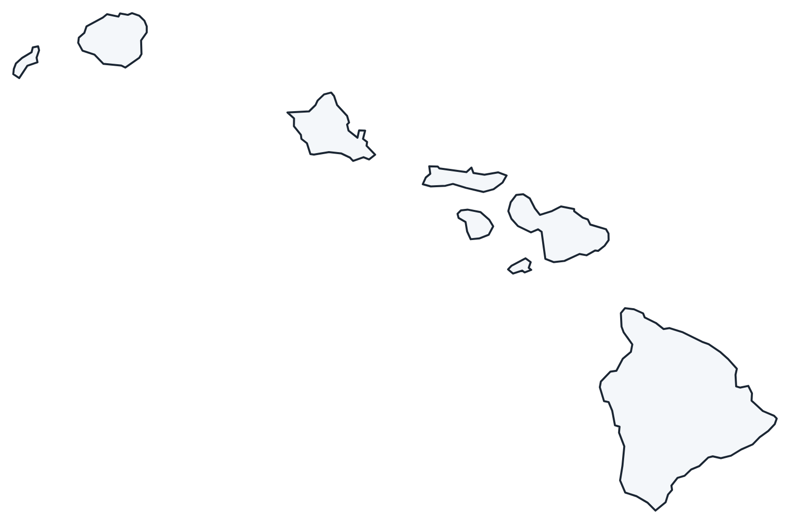
For all 5 counties with county seats and 2020 population, and a printable labeled map, see the Hawaii county map.
Frequently asked questions
What is the capital of Hawaii?
Honolulu, on the south shore of Oahu. It is also the largest city and the state’s main airport and harbor.
How many counties are in Hawaii?
Five: Hawaii, Maui, Honolulu, Kauai and Kalawao. Honolulu is the most populous and Hawaii County, the Big Island, is the largest by area.
What time zone is Hawaii in?
Hawaii-Aleutian Standard Time, which Hawaii keeps all year because it does not observe daylight saving time. That puts it 2 hours behind the West Coast in winter and 3 hours behind in summer.
Which Hawaiian island is the biggest?
The island of Hawaii, the Big Island, with 4,028 sq mi of land. It is larger than all the other Hawaiian islands combined.
Neighboring and nearby states
Hawaii has no neighboring states. Main islands: Hawaii · Maui · Oahu · Kauai · Molokai · Lanai · Niihau · Kahoolawe · Also in the Pacific division: Alaska, California, Oregon, Washington
Back to the US state map or browse all 50 state maps.
Sources: U.S. Census Bureau (2020 Census, boundaries), USGS. Last reviewed October 2026.