Hawaii County Map
Hawaii has 5 counties and no incorporated cities, so county governments provide local services statewide. The City and County of Honolulu is the most populous, with 1,016,508 residents in 2020, and Hawaii County (the Big Island) is the largest by land area at 4,028.4 sq mi. The capital, Honolulu, is the seat of Honolulu County.
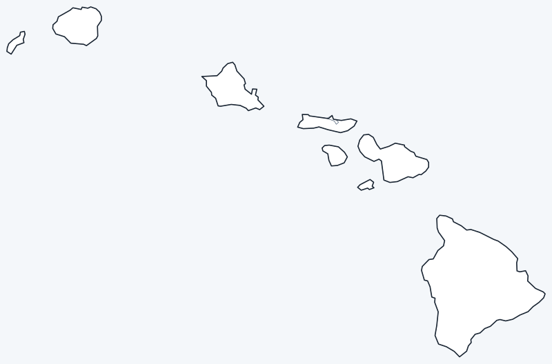
County lines are switched on when the interactive map loads, over an OpenStreetMap base map with major cities (capital in red). Hover over a county to see its name, or untick Show counties to hide the lines.
List of Hawaii counties
| County | County seat | Population (2020) | Land area (sq mi) |
|---|---|---|---|
| Hawaii County | Hilo | 200,629 | 4,028.4 |
| Honolulu County | Honolulu | 1,016,508 | 600.6 |
| Kalawao County | — | 82 | 12.0 |
| Kauai County | Līhuʻe | 73,298 | 619.9 |
| Maui County | Wailuku | 164,754 | 1,161.5 |
Click a column heading to sort. Land area excludes water. Kalawao County has no county seat because it has no county government (see below).
Most populous counties
Hawaii had 1,455,271 residents in the 2020 Census. Here is how they were divided among the 5 counties:
- Honolulu County (seat Honolulu): 1,016,508, or 69.9 percent of the state
- Hawaii County (seat Hilo): 200,629, or 13.8 percent of the state
- Maui County (seat Wailuku): 164,754, or 11.3 percent of the state
- Kauai County (seat Līhuʻe): 73,298, or 5.0 percent of the state
- Kalawao County: 82, or less than 0.1 percent of the state
The least populous is Kalawao County, with 82 residents. The other 3 counties each had between 73,298 and 200,629 residents.
Largest and smallest counties
By land area, the largest Hawaii counties are Hawaii County (4,028.4 sq mi) and Maui County (1,161.5 sq mi). The smallest are Kalawao County (12.0 sq mi) and Honolulu County (600.6 sq mi).
The average Hawaii county covers 1,284.5 sq mi of land. Hawaii County is 336 times the land area of Kalawao County. Coastal waters are a large share of total area in some counties: Honolulu County covers 2,166.2 sq mi in total but only 600.6 sq mi of land.
How counties work in Hawaii
Hawaii has no incorporated cities or towns, so its counties provide the local government that municipalities provide in other states. The City and County of Honolulu is a consolidated city-county covering all of Oahu and the Northwestern Hawaiian Islands; the city of Honolulu is its seat.
Each other county is built around one or more islands: Hawaii County is the island of Hawaii (the Big Island), with its seat at Hilo; Maui County covers Maui, Lanai, Kahoolawe and most of Molokai, governed from Wailuku; Kauai County covers Kauai and Niihau, with its seat at Līhuʻe.
Kalawao County is the Kalaupapa peninsula on the north shore of Molokai, the former settlement for people with Hansen’s disease and now Kalaupapa National Historical Park. It had 82 residents in 2020 and 12.0 sq mi of land. It has no county government and no county seat; the Hawaii Department of Health administers it, which is why the table shows “—” for its seat.
Printable Hawaii county maps
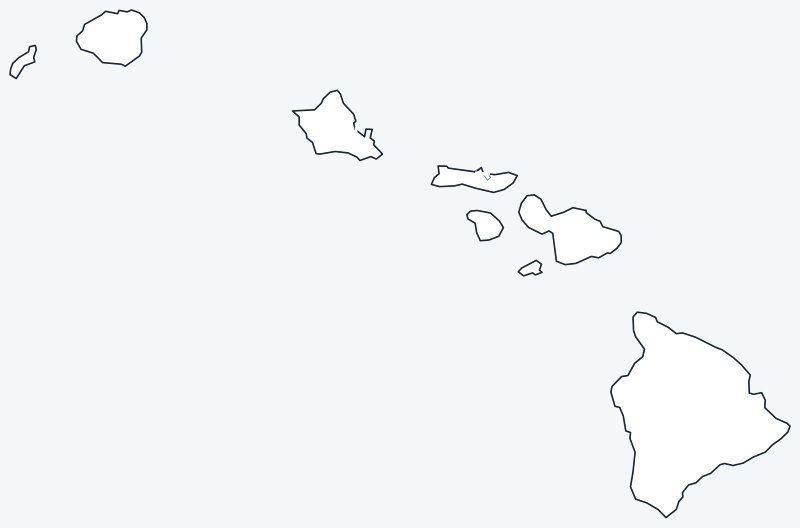
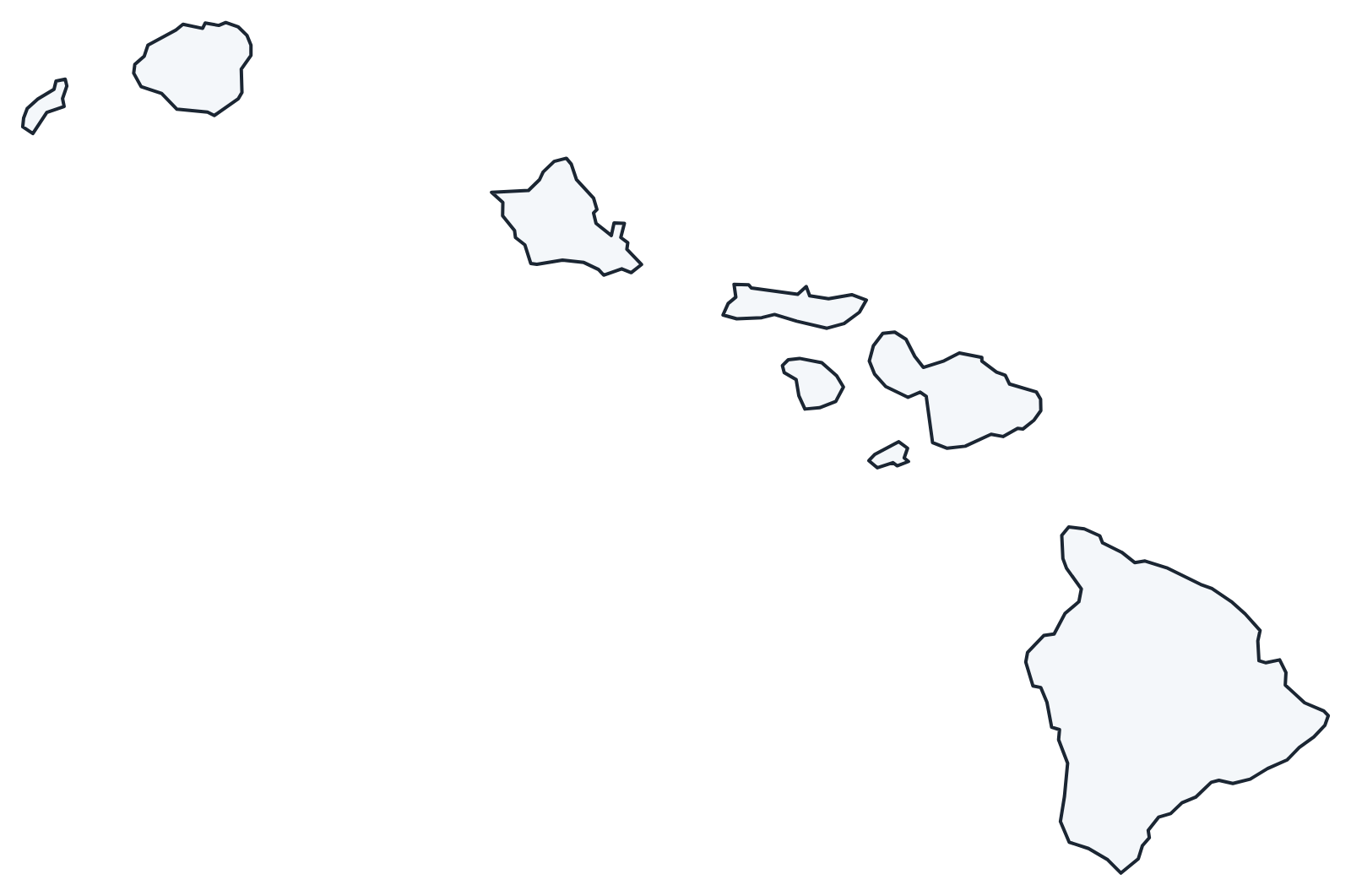
Download the labeled map with every county name, or the blank county map for quizzes and coloring; both are SVG files that print sharply at any size and are free for personal and classroom use.
Frequently asked questions
How many counties are in Hawaii?
Hawaii has 5 counties. They are Hawaii, Honolulu, Kalawao, Kauai and Maui.
What is the largest county in Hawaii?
Hawaii County, with 4,028.4 sq mi of land. Its seat is Hilo.
What is the most populous county in Hawaii?
Honolulu County, with 1,016,508 residents in the 2020 Census, 69.9 percent of the state total.
Why does Kalawao County have no county seat?
It has no county government. The Kalaupapa peninsula is administered by the Hawaii Department of Health, and the area is part of Kalaupapa National Historical Park.
More Hawaii and county maps
See the Hawaii state map for cities, geography and highways.
Hawaii has no neighboring states. County maps of the other Pacific states: Alaska · California
Browse all 50 state maps.
Sources: U.S. Census Bureau (2020 Census, 2020 Gazetteer, boundaries); county seats from Wikipedia county lists cross-checked with Wikidata. Last reviewed October 2026.