Louisiana State Map
Louisiana sits on the Gulf of Mexico at the mouth of the Mississippi River, between Texas to the west and Mississippi to the east. Its capital is Baton Rouge and its largest city is New Orleans. It is the only state divided into parishes instead of counties.
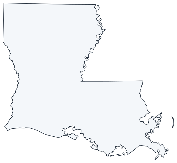
The interactive map shows Louisiana’s largest cities (capital in red) on an OpenStreetMap base map. Turn on Show counties to see all parish lines and hover for names.
Louisiana quick facts
| Capital | Baton Rouge |
|---|---|
| Largest city | New Orleans |
| Population (2020) | 4,657,757 (25th of 50) |
| Total area | 52,378 sq mi (31st of 50) |
| Statehood | April 30, 1812 (18th state) |
| Parishes | 64 parishes (Louisiana’s equivalent of counties) · Parish map |
| Abbreviation | LA (AP style: La.) |
| Region | South (West South Central division) |
| Time zone | Central Time (CT) |
| Highest point | Driskill Mountain, 535 ft |
| Borders | Arkansas (north), Mississippi (east), Texas (west), Gulf of Mexico (south) |
Where is Louisiana?
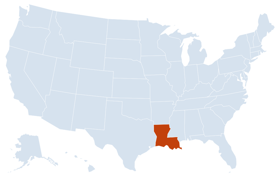
Louisiana is in the South region of the United States. Neighboring states: Arkansas, Mississippi, Texas.
Largest cities in Louisiana
| Rank | City | Population (2020) |
|---|---|---|
| 1 | New Orleans | 383,997 |
| 2 | Baton Rouge (capital) | 227,470 |
| 3 | Shreveport | 187,593 |
| 4 | Lafayette | 121,374 |
| 5 | Lake Charles | 84,872 |
| 6 | Kenner | 66,448 |
| 7 | Bossier City | 62,701 |
| 8 | Monroe | 47,702 |
| 9 | Alexandria | 45,275 |
The table lists incorporated cities only. Metairie, an unincorporated suburb of New Orleans in Jefferson Parish, has more residents than any city on this list except New Orleans, Baton Rouge and Shreveport.
Regions of Louisiana
Louisiana is roughly boot-shaped: a tall block in the north and a “sole” of marsh and bayou along the Gulf. Nearly all of the state lies on low coastal plain, and parts of New Orleans sit below sea level behind levees.
- North Louisiana: pine-covered hills and farmland around Shreveport, Bossier City, Ruston and Monroe. Driskill Mountain, the state’s highest point, rises near Arcadia in Bienville Parish.
- Central Louisiana: Alexandria and Natchitoches on the Red River, with Kisatchie National Forest, the only national forest in the state. Natchitoches, founded in 1714, is the oldest permanent European settlement in the Louisiana Purchase territory.
- Acadiana: the French-speaking Cajun heartland of south-central and southwest Louisiana, centered on Lafayette and reaching west to Lake Charles and the Texas line.
- Capital region: Baton Rouge and the surrounding parishes along the Mississippi River, lined with petrochemical plants and former sugar plantations.
- Florida Parishes: the eight parishes east of the Mississippi and north of Lake Pontchartrain, including Hammond, Covington and Slidell. They were part of Spanish West Florida until 1810.
- Greater New Orleans: Orleans, Jefferson, St. Bernard and the river parishes, wedged between Lake Pontchartrain and the Mississippi.
- Coastal Louisiana: Houma, Morgan City, Grand Isle and Plaquemines Parish, a maze of wetlands, barrier islands and bayous that is losing land to erosion and subsidence.
Rivers, lakes and wetlands
The Mississippi River forms part of the border with Mississippi, then cuts across the southeast past Baton Rouge and New Orleans to its delta in Plaquemines Parish. The Atchafalaya River carries part of the Mississippi’s flow south through the Atchafalaya Basin, the largest river swamp in the United States. The Red River flows southeast from Shreveport to Alexandria, and the Sabine River, dammed to form Toledo Bend Reservoir, marks much of the Texas border. The Pearl River forms the lower boundary with Mississippi.
Lake Pontchartrain, north of New Orleans, is a brackish estuary rather than a true lake. The Lake Pontchartrain Causeway crosses it on twin bridges nearly 24 miles long.
Why parishes instead of counties?
The parish system comes from Louisiana’s French and Spanish colonial era, when Roman Catholic church parishes served as local administrative units. The territorial legislature divided the Territory of Orleans into 19 parishes in 1807, and the name stayed after statehood. Parishes do the same job as counties elsewhere, and the Census Bureau treats them as county equivalents. That is why the interactive map’s county toggle shows parish lines here.
Major highways
- I-10: the main east–west route, from the Texas line through Lake Charles, Lafayette, Baton Rouge and New Orleans to Slidell and Mississippi. Between Lafayette and Baton Rouge it crosses the Atchafalaya Basin on a bridge about 18 miles long.
- I-12: a bypass from Baton Rouge to Slidell along the north shore of Lake Pontchartrain, through Hammond and Covington.
- I-20: across north Louisiana from Texas through Shreveport, Ruston and Monroe to Vicksburg, Mississippi.
- I-49: north–south from Lafayette through Opelousas, Alexandria and Natchitoches to Shreveport, continuing toward Arkansas.
- I-55 and I-59: from the New Orleans area north into Mississippi, via Hammond (I-55) and Slidell (I-59).
- US 90: the coastal route from Lake Charles through Lafayette, New Iberia and Morgan City to New Orleans.
- US 61 and US 165: US 61 links New Orleans, Baton Rouge and Natchez, Mississippi; US 165 runs from near Lake Charles through Alexandria to Monroe.
Printable Louisiana maps
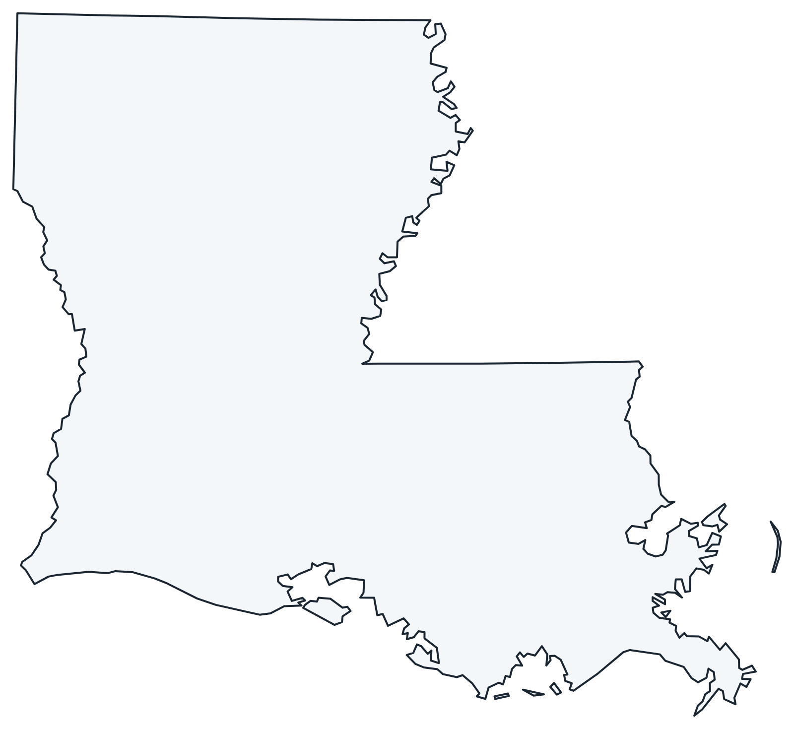
A blank outline of Louisiana for coloring, labeling parishes or school projects, and a locator map showing the state within the US. Free for personal and classroom use.
For all 64 parishes with county seats and 2020 population, and a printable labeled map, see the Louisiana parish map.
Frequently asked questions
What is the capital of Louisiana?
Baton Rouge, on the Mississippi River about 80 miles northwest of New Orleans. New Orleans is the largest city, but not the capital.
How many parishes are in Louisiana?
There are 64 parishes. East Baton Rouge Parish, which contains the capital, was the most populous in the 2020 Census, followed by Jefferson Parish and Orleans Parish.
What time zone is Louisiana in?
All of Louisiana uses Central Time and observes daylight saving time.
Is New Orleans below sea level?
Parts of it are. The city was built on the high natural levees along the Mississippi, but drained neighborhoods farther from the river sank below sea level and are protected by levees and pumps.
Neighboring and nearby states
Arkansas · Mississippi · Texas · Also in the West South Central division: Arkansas, Oklahoma, Texas
Back to the US state map or browse all 50 state maps.
Sources: U.S. Census Bureau (2020 Census, boundaries), USGS. Last reviewed October 2026.