Louisiana Parish Map
Louisiana is divided into 64 parishes instead of counties. East Baton Rouge Parish is the most populous, with 456,781 residents in 2020, and Vernon Parish is the largest by land area at 1,326.7 sq mi. The capital, Baton Rouge, is the seat of East Baton Rouge Parish.
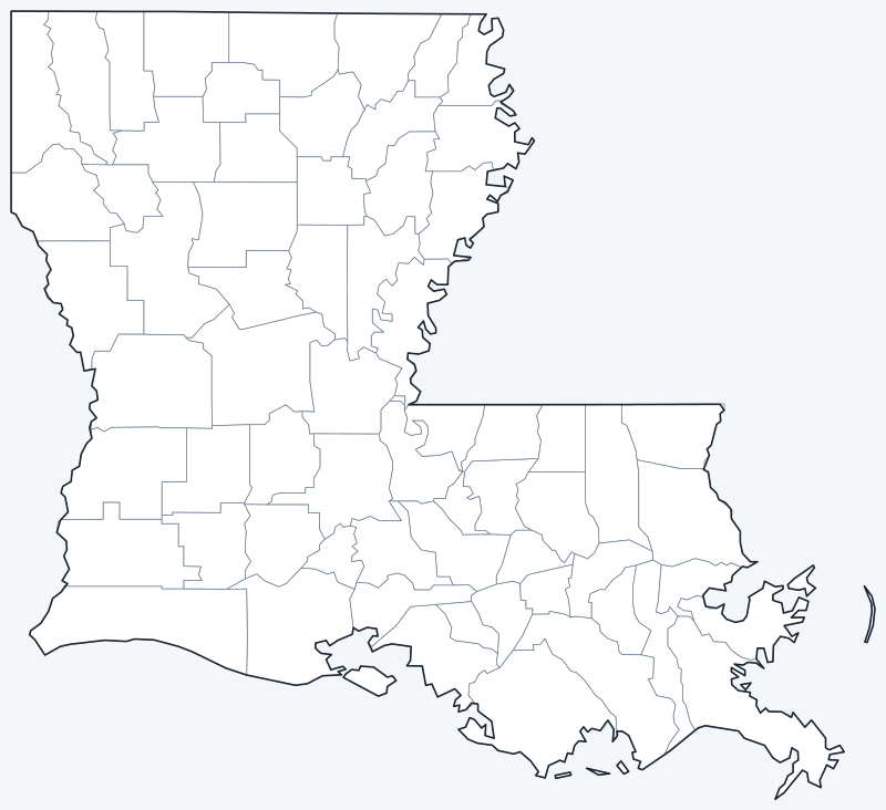
Parish lines are switched on when the interactive map loads. Hover over a parish to see its name, or untick Show counties to hide the lines.
List of Louisiana parishes
| Parish | Parish seat | Population (2020) | Land area (sq mi) |
|---|---|---|---|
| Acadia | Crowley | 57,576 | 655.2 |
| Allen | Oberlin | 22,750 | 762.1 |
| Ascension | Donaldsonville | 126,500 | 290.0 |
| Assumption | Napoleonville | 21,039 | 344.0 |
| Avoyelles | Marksville | 39,693 | 831.9 |
| Beauregard | DeRidder | 36,549 | 1,157.5 |
| Bienville | Arcadia | 12,981 | 811.3 |
| Bossier | Benton | 128,746 | 839.5 |
| Caddo | Shreveport | 237,848 | 879.5 |
| Calcasieu | Lake Charles | 216,785 | 1,064.1 |
| Caldwell | Columbia | 9,645 | 529.8 |
| Cameron | Cameron | 5,617 | 1,284.6 |
| Catahoula | Harrisonburg | 8,906 | 708.0 |
| Claiborne | Homer | 14,170 | 754.8 |
| Concordia | Vidalia | 18,687 | 697.1 |
| De Soto | Mansfield | 26,812 | 876.4 |
| East Baton Rouge | Baton Rouge | 456,781 | 455.5 |
| East Carroll | Lake Providence | 7,459 | 420.9 |
| East Feliciana | Clinton | 19,539 | 453.3 |
| Evangeline | Ville Platte | 32,350 | 662.4 |
| Franklin | Winnsboro | 19,774 | 624.3 |
| Grant | Colfax | 22,169 | 643.2 |
| Iberia | New Iberia | 69,929 | 573.7 |
| Iberville | Plaquemine | 30,241 | 618.7 |
| Jackson | Jonesboro | 15,031 | 569.4 |
| Jefferson | Gretna | 440,781 | 300.9 |
| Jefferson Davis | Jennings | 32,250 | 651.5 |
| LaSalle | Jena | 14,791 | 624.9 |
| Lafayette | Lafayette | 241,753 | 268.8 |
| Lafourche | Thibodaux | 97,557 | 1,067.8 |
| Lincoln | Ruston | 48,396 | 471.6 |
| Livingston | Livingston | 142,282 | 648.1 |
| Madison | Tallulah | 10,017 | 624.2 |
| Morehouse | Bastrop | 25,629 | 794.9 |
| Natchitoches | Natchitoches | 37,515 | 1,253.3 |
| Orleans | New Orleans | 383,997 | 169.5 |
| Ouachita | Monroe | 160,368 | 610.3 |
| Plaquemines | Pointe à la Hache | 23,515 | 780.2 |
| Pointe Coupee | New Roads | 20,758 | 556.9 |
| Rapides | Alexandria | 130,023 | 1,320.4 |
| Red River | Coushatta | 7,620 | 389.0 |
| Richland | Rayville | 20,043 | 555.6 |
| Sabine | Many | 22,155 | 866.6 |
| St. Bernard | Chalmette | 43,764 | 377.5 |
| St. Charles | Hahnville | 52,549 | 277.7 |
| St. Helena | Greensburg | 10,920 | 408.5 |
| St. James | Convent | 20,192 | 237.9 |
| St. John the Baptist | Edgard | 42,477 | 214.5 |
| St. Landry | Opelousas | 82,540 | 924.0 |
| St. Martin | St. Martinville | 51,767 | 737.5 |
| St. Mary | Franklin | 49,406 | 555.8 |
| St. Tammany | Covington | 264,570 | 845.3 |
| Tangipahoa | Amite City | 133,157 | 791.2 |
| Tensas | St. Joseph | 4,147 | 603.0 |
| Terrebonne | Houma | 109,580 | 1,229.9 |
| Union | Farmerville | 21,107 | 876.9 |
| Vermilion | Abbeville | 57,359 | 1,173.6 |
| Vernon | Leesville | 48,750 | 1,326.7 |
| Washington | Franklinton | 45,463 | 669.6 |
| Webster | Minden | 36,967 | 593.3 |
| West Baton Rouge | Port Allen | 27,199 | 192.3 |
| West Carroll | Oak Grove | 9,751 | 359.7 |
| West Feliciana | St. Francisville | 15,310 | 403.3 |
| Winn | Winnfield | 13,755 | 950.0 |
Most populous parishes
Louisiana had 4,657,757 residents in the 2020 Census. The five most populous parishes hold 38.4% of them:
- East Baton Rouge Parish (seat: Baton Rouge): 456,781 people, 9.8% of the state
- Jefferson Parish (seat: Gretna): 440,781 people, 9.5% of the state
- Orleans Parish (seat: New Orleans): 383,997 people, 8.2% of the state
- St. Tammany Parish (seat: Covington): 264,570 people, 5.7% of the state
- Lafayette Parish (seat: Lafayette): 241,753 people, 5.2% of the state
The least populous parish is Tensas Parish, with 4,147 residents.
Largest and smallest parishes
By land area, the largest parishes are Vernon Parish (1,326.7 sq mi), Rapides Parish (1,320.4 sq mi) and Cameron Parish (1,284.6 sq mi). The smallest are Orleans Parish (169.5 sq mi), West Baton Rouge Parish (192.3 sq mi) and St. John the Baptist Parish (214.5 sq mi).
Counting water, Plaquemines Parish is the largest at 2,567.2 sq mi in total, 1,787.0 sq mi of it water.
Why Louisiana has parishes
Louisiana is the only state whose primary subdivisions are called parishes. The US Census Bureau treats them as county equivalents, and they do the same job as counties elsewhere. The name goes back to the colonial era, when local administration followed Roman Catholic church parishes.
Many parishes are governed by an elected police jury; others operate under home rule charters with a parish council and parish president.
New Orleans and Orleans Parish are consolidated and share the same boundaries, which makes Orleans Parish the smallest parish by land area (169.5 sq mi). Baton Rouge and East Baton Rouge Parish also share a consolidated city-parish government.
Printable Louisiana parish maps
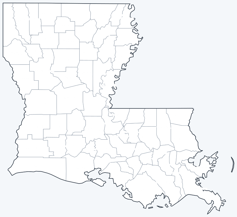
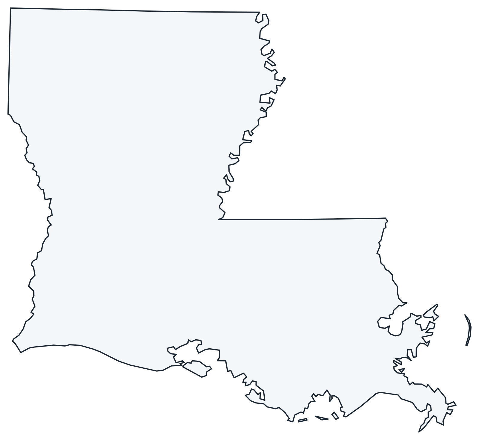
The labeled map shows every parish name; the blank version has parish lines only, for coloring or quizzes. Both are SVG files that print sharply at any size.
Frequently asked questions
How many parishes are in Louisiana?
Louisiana has 64 parishes. East Baton Rouge Parish has the most people and Tensas Parish the fewest (4,147 in 2020).
Why does Louisiana have parishes instead of counties?
The term comes from the colonial era, when local administration followed Roman Catholic church parishes. Parishes work like counties and are counted as county equivalents by the Census Bureau.
What is the largest parish in Louisiana?
Vernon Parish, with 1,326.7 sq mi of land. Counting water, Plaquemines Parish is the largest at 2,567.2 sq mi.
What parish is New Orleans in?
New Orleans is coextensive with Orleans Parish: the city and parish have the same boundaries and a consolidated government.
Neighboring state county maps
Arkansas county map · Mississippi county map · Texas county map
Back to the Louisiana state map or browse all 50 state maps.
Sources: U.S. Census Bureau (2020 Census, 2020 Gazetteer, boundaries); parish seats: Wikidata and Wikipedia parish lists. Last reviewed October 2026.