Tennessee State Map
This Tennessee state map covers a long, narrow state that stretches from the Great Smoky Mountains on the North Carolina line to the Mississippi River at Memphis. Tennessee is in the South, and Nashville is both its capital and its largest city.
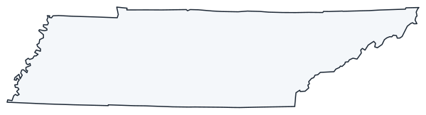
The interactive map shows Tennessee’s largest cities (capital in red) on an OpenStreetMap base map. Turn on Show counties to see all county lines and hover for names.
Tennessee quick facts
| Capital | Nashville |
|---|---|
| Largest city | Nashville |
| Population (2020) | 6,910,840 (16th of 50) |
| Total area | 42,144 sq mi (36th of 50) |
| Statehood | June 1, 1796 (16th state) |
| Counties | 95 counties · County map |
| Abbreviation | TN (AP style: Tenn.) |
| Region | South (East South Central division) |
| Time zone | Central Time (CT) in Middle and West Tennessee; Eastern Time (ET) in most of East Tennessee |
| Highest point | Kuwohi (formerly Clingmans Dome), about 6,643 ft |
| Borders | Kentucky, Virginia (north); North Carolina (east); Georgia, Alabama, Mississippi (south); Arkansas, Missouri (west, across the Mississippi River) |
Where is Tennessee?
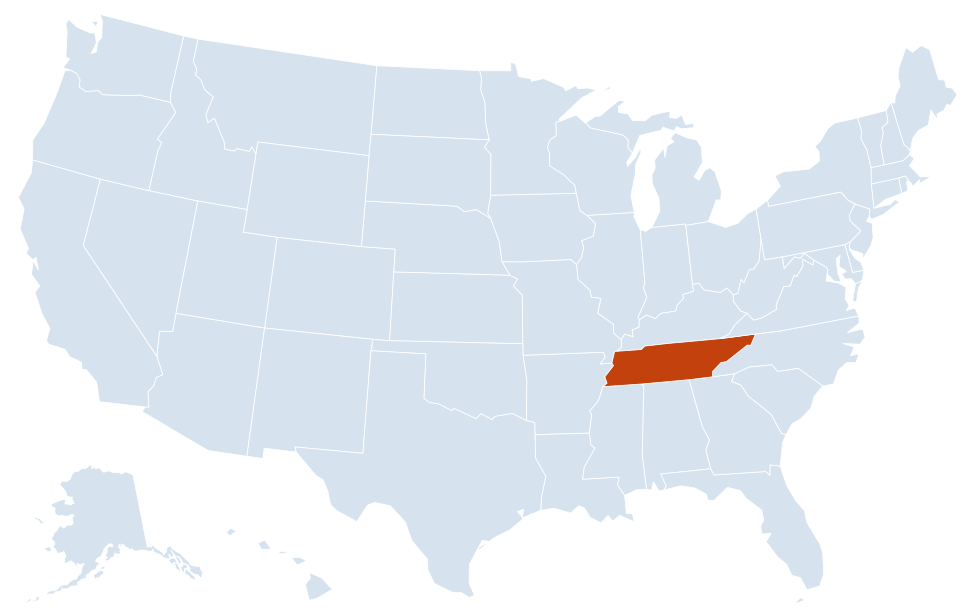
Tennessee is in the South region of the United States. Neighboring states: Kentucky, Virginia, North Carolina, Georgia, Alabama, Mississippi, Arkansas, Missouri.
Largest cities in Tennessee
| Rank | City | Population (2020) |
|---|---|---|
| 1 | Nashville (capital) | 689,447 |
| 2 | Memphis | 633,104 |
| 3 | Knoxville | 190,740 |
| 4 | Chattanooga | 181,099 |
| 5 | Clarksville | 166,722 |
| 6 | Murfreesboro | 152,769 |
| 7 | Franklin | 83,454 |
| 8 | Johnson City | 71,046 |
| 9 | Jackson | 68,205 |
| 10 | Hendersonville | 61,753 |
Nashville and Davidson County share a consolidated metropolitan government. The figure above is the Census count for Nashville excluding the small cities inside the county that keep their own governments; all of Davidson County had 715,884 people in 2020.
Geography of Tennessee
Tennessee law divides the state into three Grand Divisions, East, Middle and West Tennessee, represented by the three stars on the state flag. Each has its own landscape, largest city and economy.
East Tennessee
- Blue Ridge and the Great Smoky Mountains: the highest ground in the state, along the North Carolina border. Great Smoky Mountains National Park, shared with North Carolina, includes Kuwohi, Tennessee’s highest point. Gatlinburg and Pigeon Forge are the main gateway towns.
- Ridge-and-Valley: long parallel ridges and valleys running northeast to southwest, with Knoxville, Chattanooga and the Tri-Cities (Bristol, Johnson City and Kingsport).
- Cumberland Plateau: a flat-topped tableland with steep edges that separates East from Middle Tennessee, around Crossville.
Middle Tennessee
- Nashville Basin: a fertile lowland around Nashville, Murfreesboro and Franklin, the most densely settled part of Middle Tennessee.
- Highland Rim: a ring of higher, rolling country surrounding the basin, with Clarksville, Cookeville and Tullahoma.
West Tennessee
- Gulf Coastal Plain: flat farmland between the Tennessee River and the Mississippi River, with Jackson in the middle and Memphis in the southwest corner.
- Mississippi River bluffs and bottoms: the river forms the whole western border. Reelfoot Lake, in the northwest corner, formed during the New Madrid earthquakes of 1811–1812.
Rivers and lakes
The Tennessee River begins at Knoxville, flows southwest past Chattanooga into Alabama, then turns north and crosses Tennessee again on its way to the Ohio River in Kentucky. That second crossing marks the line between Middle and West Tennessee. The Cumberland River loops through Nashville and Clarksville. Dams built by the Tennessee Valley Authority created large reservoirs such as Kentucky Lake, Norris Lake and Watts Bar Lake.
National parks and protected areas
- Great Smoky Mountains National Park: the most visited national park in the US, on the North Carolina border.
- Cumberland Gap National Historical Park: the mountain pass where Tennessee, Kentucky and Virginia meet.
- Big South Fork National River and Recreation Area: gorges on the Cumberland Plateau, shared with Kentucky.
- Shiloh National Military Park: the Civil War battlefield near the Tennessee River in West Tennessee.
- Natchez Trace Parkway: a scenic road that begins near Nashville and runs southwest to Natchez, Mississippi.
Major highways
- I-40: the main east–west route, from Memphis through Jackson, Nashville, Cookeville and Knoxville to North Carolina.
- I-24: from Kentucky through Clarksville, Nashville and Murfreesboro to Chattanooga and Georgia.
- I-65: north–south through Nashville and Franklin, from Kentucky to Alabama.
- I-75: from Kentucky through Knoxville to Chattanooga and on to Atlanta.
- I-81 and I-26: I-81 enters from Virginia at Bristol and joins I-40 east of Knoxville; I-26 links Kingsport and Johnson City with Asheville, North Carolina.
- I-55 and I-155: I-55 crosses Memphis between Arkansas and Mississippi; I-155 links Dyersburg with the Mississippi River bridge to Missouri.
- US 64 and US 70: older two-lane and four-lane routes that cross the whole state east to west.
Printable Tennessee maps
A blank outline of Tennessee for coloring, labeling or school projects, and a locator map showing the state within the US. Free for personal and classroom use.
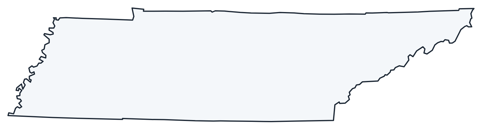
For all 95 counties with county seats and 2020 population, and a printable labeled map, see the Tennessee county map.
Frequently asked questions
What is the capital of Tennessee?
Nashville, on the Cumberland River in Middle Tennessee. It is also the largest city, slightly ahead of Memphis.
How many counties are in Tennessee?
There are 95 counties. Shelby County, which includes Memphis, is both the most populous (929,744 in 2020) and the largest by land area.
What time zone is Tennessee in?
Two. Middle and West Tennessee, including Nashville and Memphis, use Central Time. Most of East Tennessee, including Knoxville, Chattanooga and the Tri-Cities, uses Eastern Time. Both zones observe daylight saving time.
How many states border Tennessee?
Eight: Kentucky, Virginia, North Carolina, Georgia, Alabama, Mississippi, Arkansas and Missouri. Only Missouri also borders eight states, so they share the record.
Neighboring and nearby states
Kentucky · Virginia · North Carolina · Georgia · Alabama · Mississippi · Arkansas · Missouri · Also in the East South Central division: Alabama, Kentucky, Mississippi
Back to the US state map or browse all 50 state maps.
Sources: U.S. Census Bureau (2020 Census, boundaries), USGS, National Park Service. Last reviewed October 2026.