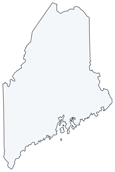
Maine State Map
Maine is the northeasternmost state, bordered by New Hampshire to the west, the Canadian provinces of Quebec and New Brunswick to the north and east, and the Atlantic Ocean to the south. Its capital is Augusta and its largest city is Portland.
The interactive map shows Maine’s largest cities (capital in red) on an OpenStreetMap base map. Turn on Show counties to see all county lines and hover for names.
Maine quick facts
| Capital | Augusta |
|---|---|
| Largest city | Portland |
| Population (2020) | 1,362,359 (42nd of 50) |
| Total area | 35,380 sq mi (39th of 50) |
| Statehood | March 15, 1820 (23rd state) |
| Counties | 16 counties · County map |
| Abbreviation | ME (AP style: Maine) |
| Region | Northeast (New England division) |
| Time zone | Eastern Time (ET) |
| Highest point | Mount Katahdin, about 5,268 ft |
| Borders | New Hampshire (west), Quebec, Canada (northwest), New Brunswick, Canada (north and east), Atlantic Ocean (south and east) |
Where is Maine?
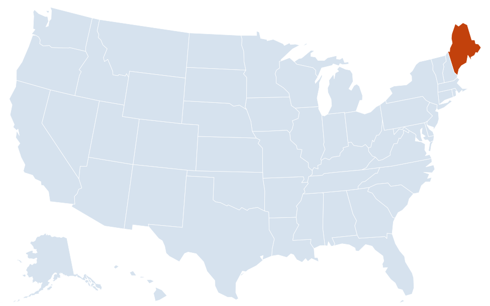
Maine is in the Northeast region of the United States. Neighboring state: New Hampshire, the only state that touches Maine.
Largest cities in Maine
| Rank | City | Population (2020) |
|---|---|---|
| 1 | Portland | 68,408 |
| 2 | Lewiston | 37,121 |
| 3 | Bangor | 31,753 |
| 4 | South Portland | 26,498 |
| 5 | Auburn | 24,061 |
| 6 | Biddeford | 22,552 |
| 7 | Sanford | 21,982 |
| 8 | Westbrook | 20,400 |
| 9 | Saco | 20,381 |
| 10 | Augusta (capital) | 18,899 |
Portland, South Portland, Westbrook, Biddeford and Saco all lie within about 20 miles of each other in the southwest corner of the state, which holds most of Maine’s population.
Regions of Maine
Maine is about as large as the other five New England states combined, yet much of its interior is commercial forest with few roads or towns. Most people live along the southern coast and in the river valleys.
- Southern Maine: York and Cumberland counties, from the sandy beaches of York, Ogunquit and Old Orchard Beach to Portland and Casco Bay.
- Midcoast: a rocky shoreline of peninsulas and harbors from Brunswick and Bath to Rockland, Camden and Penobscot Bay.
- Downeast and Acadia: Mount Desert Island, Bar Harbor and Acadia National Park, the only national park in New England, then Washington County to Machias, Eastport and Lubec. West Quoddy Head in Lubec is the easternmost point of the contiguous United States.
- Kennebec and Androscoggin valleys: the capital, Augusta, plus Waterville, Lewiston and Auburn on the rivers that powered Maine’s mill towns.
- Western Mountains and Lakes: Rangeley, Bethel and the ski areas near the New Hampshire border.
- Maine Highlands: Bangor, Moosehead Lake (the state’s largest lake), Millinocket and Baxter State Park, where Mount Katahdin marks the northern end of the Appalachian Trail.
- Aroostook County: known in Maine simply as “The County”, larger than Connecticut, with potato farms around Presque Isle and Caribou and the French-speaking St. John Valley around Fort Kent and Madawaska.
Rivers, lakes and coast
Four major rivers drain to the Atlantic: the Penobscot (through Bangor), the Kennebec (through Augusta), the Androscoggin (between Lewiston and Auburn) and the Saco. The St. John River forms part of the northern border with New Brunswick, and the St. Croix River forms part of the eastern border. Glacial lakes such as Moosehead, Sebago and Rangeley dot the interior. The coast is deeply indented, so the shoreline measured around every bay and island is many times longer than the straight-line distance from Kittery to Lubec.
Borders and history
Maine was a district of Massachusetts until 1820, when it separated and joined the Union as a free state under the Missouri Compromise. Its long northern and eastern boundary with Canada was disputed until the Webster–Ashburton Treaty of 1842 fixed the line, mostly along the St. John and St. Francis rivers. Today, the main border crossings into New Brunswick are at Houlton, Calais and Madawaska. Kittery, across the Piscataqua River from Portsmouth, New Hampshire, is the main gateway from the south.
Major highways
- I-95: enters from New Hampshire at Kittery, follows the Maine Turnpike past Portland and Lewiston to Augusta, then continues through Waterville and Bangor to Houlton and the Canadian border.
- I-295: an alternate route from South Portland through Portland and Brunswick to Gardiner, near Augusta.
- I-395: a short spur linking I-95 in Bangor with Brewer across the Penobscot.
- US 1: the coastal road from Kittery through Portland, Brunswick, Rockland, Ellsworth and Machias, then north along the border to Houlton, Presque Isle and its northern end at Fort Kent.
- US 2: east–west from the New Hampshire line through Rumford, Farmington, Skowhegan and Bangor to Houlton.
- US 201: north from Brunswick through Augusta, Waterville, Skowhegan and Jackman to the Quebec border.
Printable Maine maps
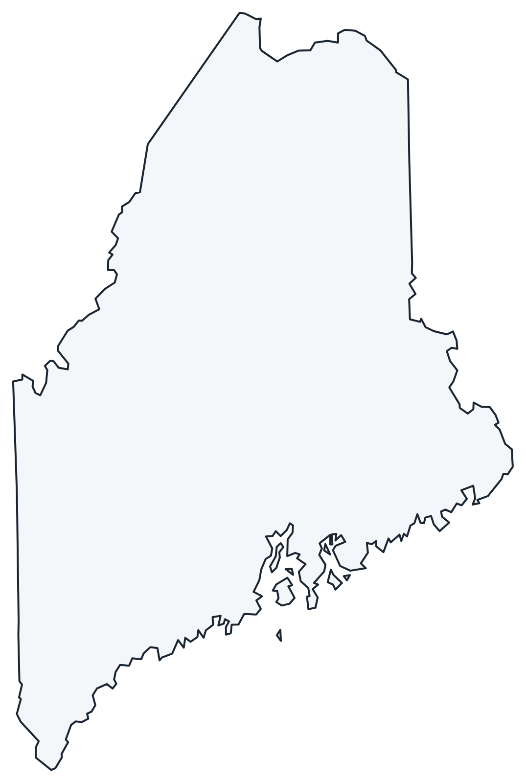
A blank outline of Maine for coloring, labeling or school projects, and a locator map showing the state within the US. Free for personal and classroom use.
For all 16 counties with county seats and 2020 population, and a printable labeled map, see the Maine county map.
Frequently asked questions
What is the capital of Maine?
Augusta, on the Kennebec River. Portland is the largest city and served as the first capital until Augusta took over in 1832.
How many counties are in Maine?
There are 16 counties. Cumberland County, which includes Portland, is the most populous; Aroostook County in the far north is the largest by area.
What time zone is Maine in?
All of Maine uses Eastern Time and observes daylight saving time. Neighboring New Brunswick is one hour ahead, on Atlantic Time.
Which state borders only one other state?
Maine. Its only land border with another state is with New Hampshire to the west; the rest of its boundary is Canada and the Atlantic Ocean.
Neighboring and nearby states
New Hampshire · Also in the New England division: Connecticut, Massachusetts, Rhode Island, Vermont
Back to the US state map or browse all 50 state maps.
Sources: U.S. Census Bureau (2020 Census, boundaries), USGS. Last reviewed October 2026.