North Carolina State Map
North Carolina stretches from the Great Smoky Mountains on the Tennessee line to the Outer Banks on the Atlantic, between Virginia to the north and South Carolina and Georgia to the south. This North Carolina state map shows the capital, Raleigh, the largest city, Charlotte, and all 100 counties.
The interactive map shows North Carolina’s largest cities (capital in red) on an OpenStreetMap base map. Turn on Show counties to see all county lines and hover for names.
North Carolina quick facts
| Capital | Raleigh |
|---|---|
| Largest city | Charlotte |
| Population (2020) | 10,439,388 (9th of 50) |
| Total area | 53,819 sq mi (28th of 50) |
| Statehood | November 21, 1789 (12th state) |
| Counties | 100 counties · County map |
| Abbreviation | NC (AP style: N.C.) |
| Region | South (South Atlantic division) |
| Time zone | Eastern Time (ET) |
| Highest point | Mount Mitchell, 6,684 ft (Black Mountains) |
| Borders | Virginia (north); Tennessee (west); Georgia (southwest); South Carolina (south); Atlantic Ocean (east) |
Where is North Carolina?
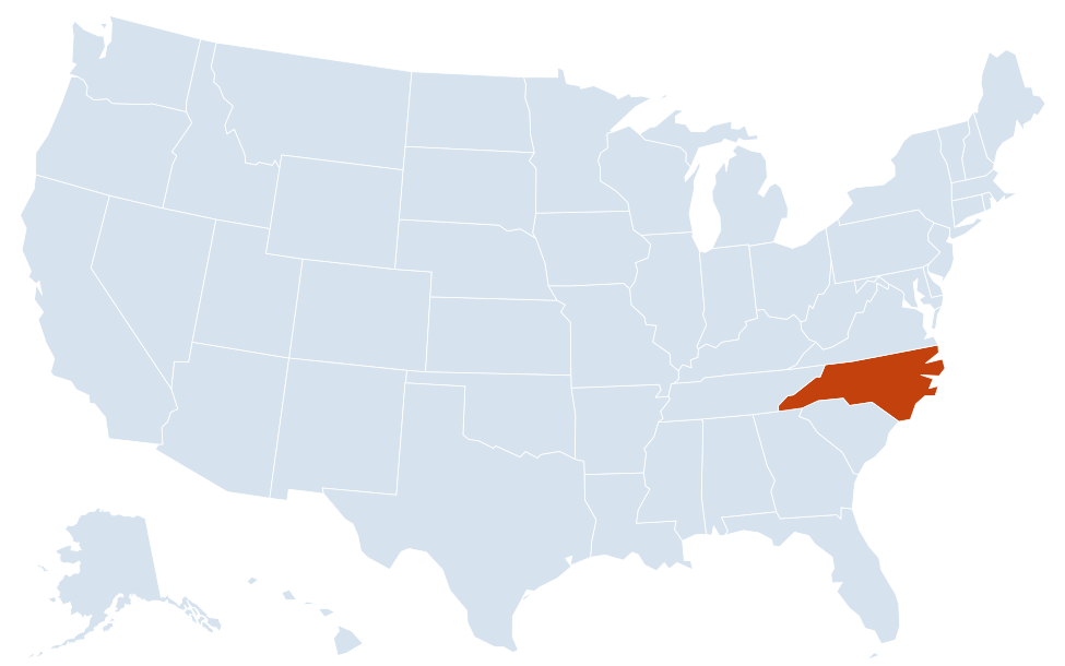
North Carolina is in the South region of the United States. Neighboring states: Virginia, Tennessee, Georgia, South Carolina.
Largest cities in North Carolina
| Rank | City | Population (2020) |
|---|---|---|
| 1 | Charlotte | 874,579 |
| 2 | Raleigh (capital) | 467,665 |
| 3 | Greensboro | 299,035 |
| 4 | Durham | 283,506 |
| 5 | Winston-Salem | 249,545 |
| 6 | Fayetteville | 208,501 |
| 7 | Cary | 174,721 |
| 8 | Wilmington | 115,451 |
| 9 | High Point | 114,059 |
| 10 | Concord | 105,240 |
Regions of North Carolina
North Carolina has three natural regions that run roughly parallel to the coast: the Mountains in the west, the Piedmont in the middle and the Coastal Plain in the east.
Mountains
- Blue Ridge and the Black Mountains: the Black Mountains northeast of Asheville include Mount Mitchell, the highest point east of the Mississippi River.
- Great Smoky Mountains: shared with Tennessee and protected in Great Smoky Mountains National Park, the most visited national park in the US.
- High Country: Boone, Blowing Rock and Grandfather Mountain in the northwest.
Piedmont
Rolling hills between the mountains and the Fall Line, home to most of the state’s people and its three largest metro areas:
- Charlotte metro: Charlotte, Concord and Gastonia, along the South Carolina line.
- Piedmont Triad: Greensboro, Winston-Salem and High Point.
- Research Triangle: Raleigh, Durham, Cary and Chapel Hill, named for the universities and Research Triangle Park between them. Wake County, which includes Raleigh, was the most populous county in 2020.
Coastal Plain
Flat farmland and pine forest east of the Fall Line around Fayetteville, Greenville and Rocky Mount, with large swamps and the Albemarle and Pamlico sounds near the coast. Lake Mattamuskeet in Hyde County is the largest natural lake in the state. Robeson County, in the southern Coastal Plain, is the largest county by land area.
Outer Banks and the coast
A chain of narrow barrier islands separates the sounds from the Atlantic. It includes Kitty Hawk and Kill Devil Hills, where the Wright brothers first flew in 1903, Roanoke Island and Manteo, and Cape Hatteras and Cape Lookout national seashores. Farther south, Wilmington sits on the Cape Fear River near the beaches of New Hanover and Brunswick counties.
North Carolina county map
With 100 counties, North Carolina has many small ones. Wake County (1,129,410 people in 2020) and Mecklenburg County (1,115,482) are the only two with more than a million residents; Guilford County, which includes Greensboro and High Point, is third with 541,299. Tyrrell County, on Albemarle Sound, is the least populous, with 3,245. Robeson County is the largest by land area, about 947 sq mi, and Chowan County the smallest, about 173 sq mi. If water is included, Dare County, which takes in most of the Outer Banks, is the largest.
Major highways
- I-40: the main east–west route, from Tennessee through Asheville, Hickory, Winston-Salem, Greensboro, Durham and Raleigh to Wilmington.
- I-85: from Virginia through Durham, Greensboro and Charlotte to South Carolina.
- I-95: from Virginia through Rocky Mount, Wilson, Fayetteville and Lumberton to South Carolina.
- I-77: from Virginia through Statesville to Charlotte and South Carolina.
- I-26: from Tennessee through Asheville and Hendersonville to South Carolina.
- Blue Ridge Parkway: a scenic road along the mountain crest from Virginia past Boone and Asheville to Great Smoky Mountains National Park.
- US 64 and NC 12: US 64 crosses the state east to the Outer Banks; NC 12 runs along the islands, with state ferries to Ocracoke.
Printable North Carolina maps
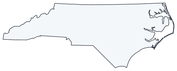
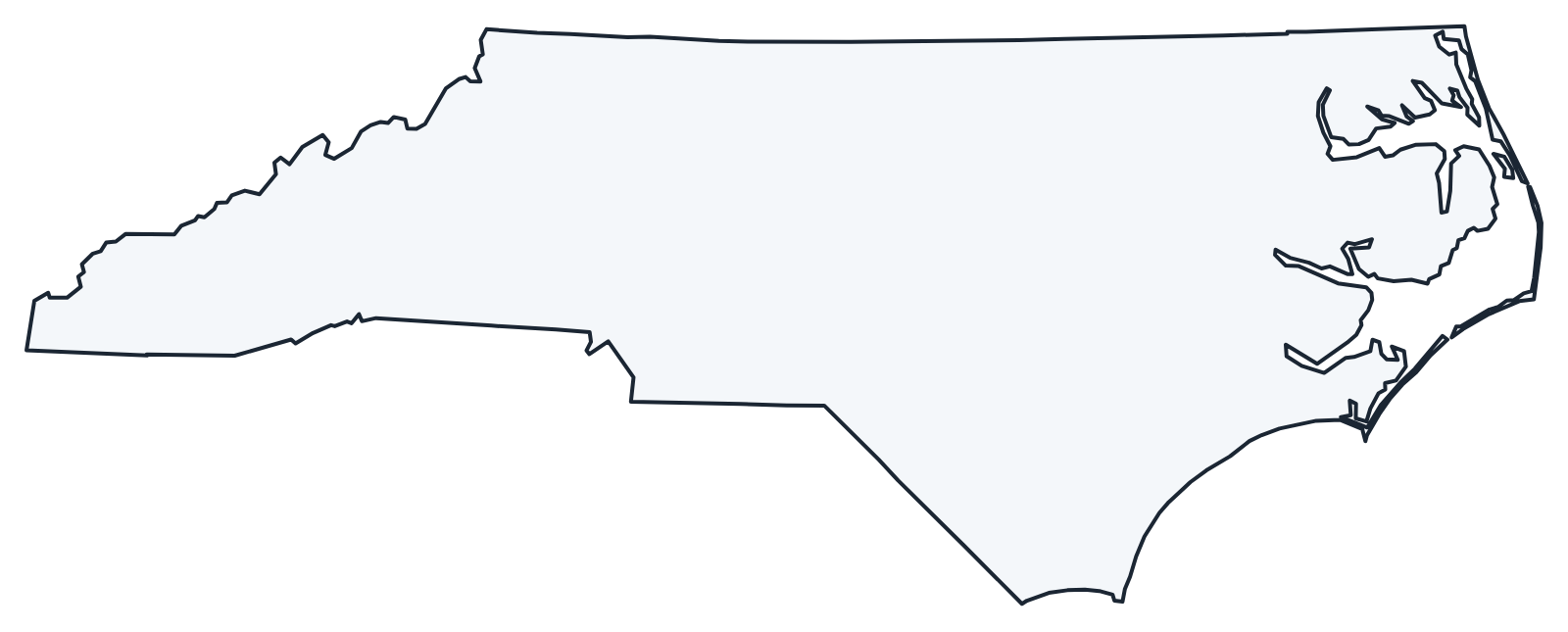
A blank outline of North Carolina for coloring, labeling or school projects, and a locator map showing the state within the US. Free for personal and classroom use.
For all 100 counties with county seats and 2020 population, and a printable labeled map, see the North Carolina county map.
Frequently asked questions
What is the capital of North Carolina?
Raleigh, in the Research Triangle. Charlotte is the largest city, but not the capital.
How many counties are in North Carolina?
There are 100 counties. Wake County (Raleigh) was the most populous in the 2020 Census, just ahead of Mecklenburg County (Charlotte); Robeson County is the largest by land area.
What time zone is North Carolina in?
The whole state uses Eastern Time and observes daylight saving time, including the mountain counties on the Tennessee line.
Where are the Outer Banks?
Along North Carolina’s northern and central coast, from the Virginia line south past Cape Hatteras to Ocracoke and Cape Lookout. The islands are reached by bridges and state ferries.
Neighboring and nearby states
Virginia · Tennessee · Georgia · South Carolina · Also in the South Atlantic division: Delaware, Florida, Georgia, Maryland, South Carolina, Virginia, West Virginia
Back to the US state map or browse all 50 state maps.
Sources: U.S. Census Bureau (2020 Census, boundaries), USGS, National Park Service. Last reviewed October 2026.