Idaho State Map
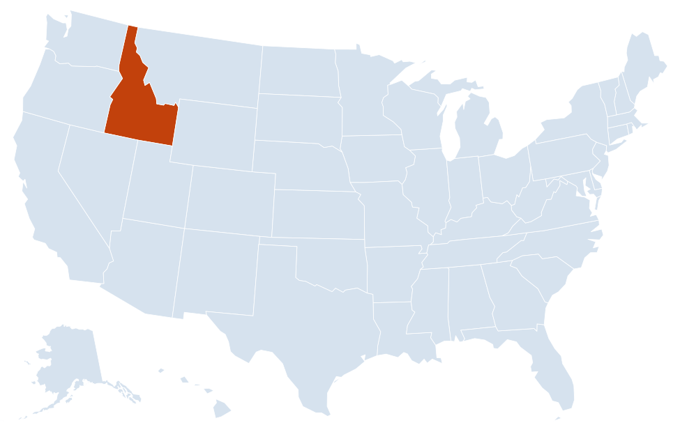
This Idaho state map shows a Mountain West state that runs from Nevada and Utah in the south to a narrow Panhandle on the Canadian border, between Washington and Oregon to the west and Montana and Wyoming to the east. Its capital and largest city is Boise.
The interactive map shows Idaho’s largest cities (capital in red) on an OpenStreetMap base map. Turn on Show counties to see all county lines and hover for names.
Idaho quick facts
| Capital | Boise |
|---|---|
| Largest city | Boise |
| Population (2020) | 1,839,106 (38th of 50) |
| Total area | 83,569 sq mi (14th of 50) |
| Statehood | July 3, 1890 (43rd state) |
| Counties | 44 counties · County map |
| Abbreviation | ID (AP style: Idaho) |
| Region | West (Mountain division) |
| Time zone | Mountain Time (MT) in the south; Pacific Time (PT) in the northern Panhandle |
| Highest point | Borah Peak, 12,662 ft |
| Borders | Montana (northeast and east), Wyoming (east), Utah and Nevada (south), Oregon and Washington (west), British Columbia, Canada (north) |
Largest cities in Idaho
| Rank | City | Population (2020) |
|---|---|---|
| 1 | Boise (capital) | 235,684 |
| 2 | Meridian | 117,635 |
| 3 | Nampa | 100,200 |
| 4 | Idaho Falls | 64,818 |
| 5 | Caldwell | 59,996 |
| 6 | Pocatello | 56,320 |
| 7 | Coeur d’Alene | 54,628 |
| 8 | Twin Falls | 51,807 |
| 9 | Rexburg | 39,409 |
| 10 | Post Falls | 38,485 |
Regions of Idaho
Idaho is shaped by mountains in the north and center and by the broad, curving Snake River Plain across the south, where most Idahoans live.
North Idaho (the Panhandle)
Forested mountains and large lakes between Washington and Montana: Lake Pend Oreille, the state’s largest lake, plus Priest Lake and Lake Coeur d’Alene. Coeur d’Alene, Post Falls, Sandpoint and Bonners Ferry are the main towns. The Panhandle uses Pacific Time and is economically tied to Spokane, Washington.
North Central Idaho
Lewiston sits where the Clearwater River meets the Snake; barges reach its port from the Pacific by the Columbia and Snake rivers. Moscow, home of the University of Idaho, is in the Palouse wheat country. Grangeville is the gateway to the Clearwater and Salmon river backcountry.
Central Idaho mountains
The most rugged part of the state, crossed by few roads. The Frank Church–River of No Return Wilderness surrounds the Salmon River. The Sawtooth Range rises above Stanley, Sun Valley and Ketchum ski country lies to the south, and Borah Peak, the highest point, is in the Lost River Range to the east.
Southwest Idaho (Treasure Valley)
Boise, Meridian, Nampa and Caldwell form the state’s largest metro area along the Boise River. Ada and Canyon counties together had about 39 percent of Idaho’s 2020 population. Hells Canyon, one of the deepest river gorges in North America, follows the Snake River on the Oregon border to the northwest.
Magic Valley and Eastern Idaho
Irrigated farmland along the Snake River, the center of Idaho’s potato crop. Twin Falls overlooks the Snake River Canyon and nearby Shoshone Falls. Farther east are Pocatello, Idaho Falls and Rexburg; Craters of the Moon National Monument and Preserve protects lava fields north of the plain, and a thin strip of Yellowstone National Park lies inside Idaho’s eastern border.
Snake River and other rivers
The Snake River enters from Wyoming, arcs west across southern Idaho through Idaho Falls, American Falls and Twin Falls, then turns north to form the border with Oregon and part of the border with Washington before leaving the state at Lewiston. The Salmon River drains the central mountains, and the Clearwater and Kootenai rivers drain the north. Dams on the Snake supply irrigation water and hydropower.
Idaho county map
Idaho has 44 counties. Ada County, which includes Boise and Meridian, is the most populous (494,967 in 2020). Idaho County, a mountainous county in the north-central part of the state, is the largest by area. Turn on the county layer on the map above to see all county lines.
Major highways
- I-84: from Oregon through Caldwell, Nampa, Boise, Mountain Home and Twin Falls to Utah; I-184 is a short spur into downtown Boise.
- I-86: from I-84 east of Burley to American Falls and Pocatello.
- I-15: from Utah through Pocatello and Idaho Falls to Monida Pass on the Montana line.
- I-90: across the Panhandle from Washington through Post Falls and Coeur d’Alene to Lookout Pass and Montana.
- US 95: the main road linking south and north Idaho, through Weiser, New Meadows, Grangeville, Lewiston, Moscow, Coeur d’Alene and Sandpoint to Canada.
- US 12 and US 93: mountain routes from Lewiston over Lolo Pass and from Twin Falls through Challis and Salmon to Montana.
Printable Idaho maps
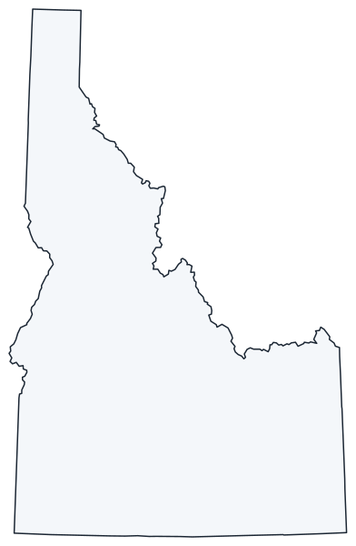
A blank outline of Idaho for coloring, labeling or school projects, and a locator map showing the state within the US. Free for personal and classroom use.
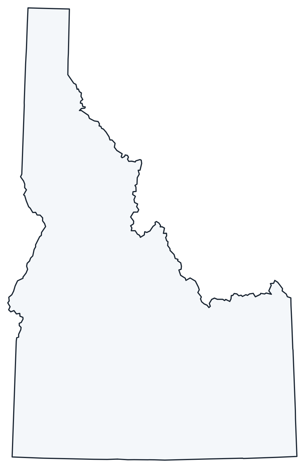
For all 44 counties with county seats and 2020 population, and a printable labeled map, see the Idaho county map.
Frequently asked questions
What is the capital of Idaho?
Boise, in southwest Idaho on the Boise River. It is also the largest city.
How many counties are in Idaho?
There are 44 counties. Ada County is the most populous and Idaho County is the largest by area.
What time zones are in Idaho?
Two. Southern Idaho, including Boise, Twin Falls and Idaho Falls, uses Mountain Time. The northern Panhandle, including Coeur d’Alene, Moscow and Lewiston, uses Pacific Time, one hour earlier.
What is the Idaho Panhandle?
The narrow northern part of the state between Washington and Montana, reaching north to Canada. It is the region around Coeur d’Alene, Sandpoint and Bonners Ferry, known for its lakes and forests.
Neighboring and nearby states
Montana · Nevada · Oregon · Utah · Washington · Wyoming · Also in the Mountain division: Arizona, Colorado, Montana, Nevada, New Mexico, Utah, Wyoming
Back to the US state map or browse all 50 state maps.
Sources: U.S. Census Bureau (2020 Census, boundaries), USGS. Last reviewed October 2026.