Maryland State Map
Maryland is a small Mid-Atlantic state wrapped around the Chesapeake Bay, stretching from the Atlantic beaches of the Delmarva Peninsula west into the Appalachian Mountains. Its capital is Annapolis and its largest city is Baltimore. It also borders Washington, D.C.
The interactive map shows Maryland’s largest cities (capital in red) on an OpenStreetMap base map. Turn on Show counties to see all county lines and hover for names.
Maryland quick facts
| Capital | Annapolis |
|---|---|
| Largest city | Baltimore |
| Population (2020) | 6,177,224 (18th of 50) |
| Total area | 12,406 sq mi (42nd of 50) |
| Statehood | April 28, 1788 (7th state) |
| Counties | 23 counties + Baltimore City (independent city) · County map |
| Abbreviation | MD (AP style: Md.) |
| Region | South (South Atlantic division) |
| Time zone | Eastern Time (ET) |
| Highest point | Hoye-Crest on Backbone Mountain, 3,360 ft |
| Borders | Pennsylvania (north), Delaware (east), Virginia and West Virginia (south and west), Washington, D.C. (southwest), Atlantic Ocean (east) |
Where is Maryland?
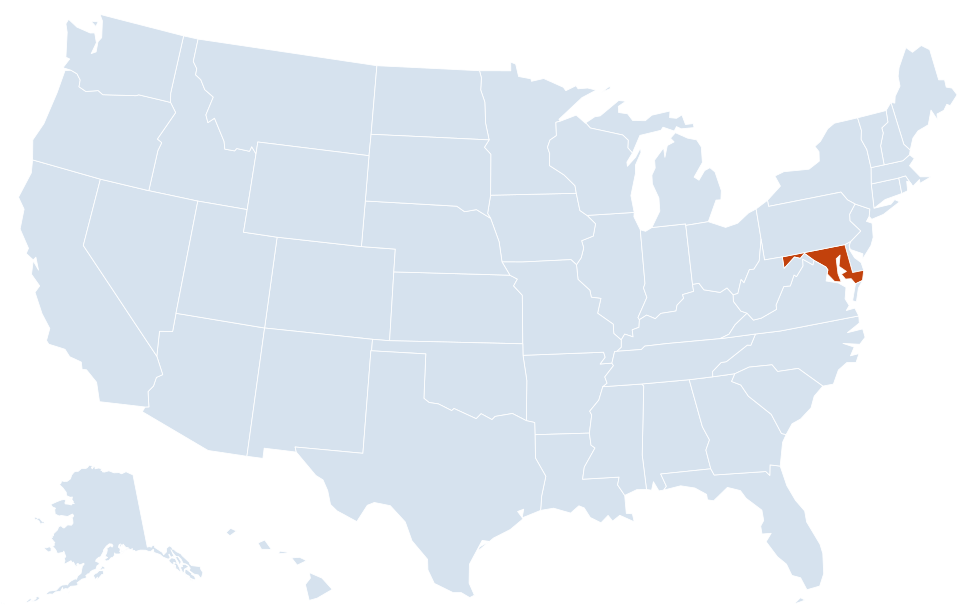
Maryland is in the South region of the United States. Neighboring states: Delaware, Pennsylvania, Virginia, West Virginia.
Largest cities in Maryland
| Rank | City | Population (2020) |
|---|---|---|
| 1 | Baltimore | 585,708 |
| 2 | Frederick | 78,171 |
| 3 | Gaithersburg | 69,657 |
| 4 | Rockville | 67,117 |
| 5 | Bowie | 58,329 |
| 6 | Hagerstown | 43,527 |
| 7 | Annapolis (capital) | 40,812 |
| 8 | College Park | 34,740 |
| 9 | Salisbury | 33,050 |
The table lists incorporated cities only. Much of Maryland’s suburban population lives in large unincorporated communities, such as Columbia, Germantown, Silver Spring and Waldorf, several of which have more residents than Frederick.
Regions of Maryland
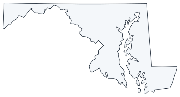
Maryland has one of the most irregular shapes of any state. The Chesapeake Bay nearly splits it in two, and in the west the state narrows to a panhandle less than 2 miles wide near Hancock, squeezed between the Pennsylvania line and the Potomac River.
- Western Maryland: Garrett, Allegany and Washington counties in the Appalachian Mountains, with Cumberland, Hagerstown, Deep Creek Lake and the state’s highest point, Hoye-Crest, in Garrett County.
- Central Maryland: Baltimore and its suburbs, plus Frederick, Westminster and the rolling Piedmont farmland north toward Pennsylvania.
- Capital region: Montgomery and Prince George’s counties, the Maryland suburbs of Washington, D.C., including Rockville, Gaithersburg, Bowie and College Park.
- Southern Maryland: Charles, Calvert and St. Mary’s counties on the peninsula between the Potomac River and the Chesapeake Bay. St. Mary’s City was the colony’s first settlement, in 1634.
- Eastern Shore: the Maryland part of the Delmarva Peninsula, shared with Delaware and Virginia: flat farmland, marshes and fishing towns such as Easton, Cambridge and Salisbury, plus the Atlantic resort of Ocean City and Assateague Island National Seashore.
Chesapeake Bay and rivers
The Chesapeake Bay is the largest estuary in the United States. Its main source, the Susquehanna River, enters at Havre de Grace in the north. The Potomac River forms Maryland’s southern border with Virginia and West Virginia, passing Washington, D.C., where the District was created partly from land Maryland gave to the federal government. The Chesapeake and Ohio Canal towpath follows the Potomac for 184.5 miles from Georgetown to Cumberland. Other bay rivers include the Patapsco (Baltimore’s harbor), the Severn (Annapolis) and the Patuxent.
The northern border with Pennsylvania is the Mason–Dixon Line, surveyed in the 1760s to settle a colonial boundary dispute.
Counties and Baltimore City
Maryland has 23 counties plus Baltimore City, which the Census Bureau counts as a county equivalent, so county maps of the state show 24 local jurisdictions. Montgomery and Prince George’s counties, next to Washington, D.C., are the two most populous. Garrett County is the westernmost and Worcester County holds the state’s only Atlantic coastline. Annapolis served briefly as the US capital in 1783 and 1784, and the Maryland State House is the oldest state capitol still in continuous legislative use.
Major highways
- I-95: from the Delaware line near Elkton through Baltimore (via the Fort McHenry Tunnel) to the Capital Beltway, then across the Woodrow Wilson Bridge into Virginia.
- I-695 and I-495: the Baltimore Beltway and the Capital Beltway around Washington, D.C.
- I-70: west from Baltimore through Frederick and Hagerstown to Hancock and Pennsylvania.
- I-68: from Hancock through Cumberland and Garrett County into West Virginia.
- I-270 and I-83: I-270 links the Capital Beltway with Rockville, Gaithersburg and Frederick; I-83 runs north from Baltimore to York, Pennsylvania.
- I-97 and US 50: I-97 links Baltimore and Annapolis; US 50 runs from Washington through Annapolis, across the Chesapeake Bay Bridge (about 4.3 miles long) to Easton, Salisbury and Ocean City.
- US 13 and US 301: north–south routes on the Eastern Shore and through Southern Maryland.
Printable Maryland maps
A blank outline of Maryland for coloring, labeling or school projects, and a locator map showing the state within the US. Free for personal and classroom use.
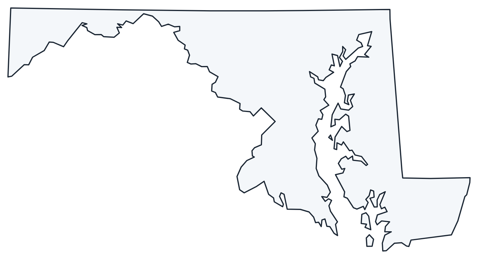
For all 23 counties and the independent city of Baltimore with county seats and 2020 population, and a printable labeled map, see the Maryland county map.
Frequently asked questions
What is the capital of Maryland?
Annapolis, on the Severn River near the Chesapeake Bay and home of the US Naval Academy. Baltimore is the largest city, but not the capital.
How many counties are in Maryland?
There are 23 counties plus Baltimore City, which is independent and counted as a county equivalent. Montgomery County is the most populous.
What time zone is Maryland in?
All of Maryland uses Eastern Time and observes daylight saving time.
Is Baltimore City part of Baltimore County?
No. Baltimore City separated from Baltimore County in 1851 and is an independent city. Baltimore County surrounds the city on three sides, and its seat is Towson.
Neighboring and nearby states
Delaware · Pennsylvania · Virginia · West Virginia · Also in the South Atlantic division: Delaware, Florida, Georgia, North Carolina, South Carolina, Virginia, West Virginia
Back to the US state map or browse all 50 state maps.
Sources: U.S. Census Bureau (2020 Census, boundaries), USGS. Last reviewed October 2026.