Maryland County Map
Maryland has 23 counties plus Baltimore City, an independent city that the Census Bureau counts as a county equivalent, for 24 in all. Montgomery County is the most populous, with 1,062,061 residents in 2020, and Frederick County is the largest by land area at 660.6 sq mi. The capital, Annapolis, is the seat of Anne Arundel County.
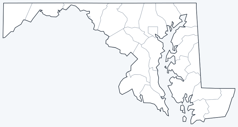
County lines are switched on when the interactive map loads. Hover over a county to see its name, or untick Show counties to hide the lines.
List of Maryland counties
| County | Type | County seat | Population (2020) | Land area (sq mi) |
|---|---|---|---|---|
| Allegany | County | Cumberland | 68,106 | 422.2 |
| Anne Arundel | County | Annapolis | 588,261 | 414.8 |
| Baltimore | County | Towson | 854,535 | 598.4 |
| Baltimore City | Independent city | — | 585,708 | 80.9 |
| Calvert | County | Prince Frederick | 92,783 | 213.2 |
| Caroline | County | Denton | 33,293 | 319.4 |
| Carroll | County | Westminster | 172,891 | 447.6 |
| Cecil | County | Elkton | 103,725 | 346.3 |
| Charles | County | La Plata | 166,617 | 457.8 |
| Dorchester | County | Cambridge | 32,531 | 540.8 |
| Frederick | County | Frederick | 271,717 | 660.6 |
| Garrett | County | Oakland | 28,806 | 649.1 |
| Harford | County | Bel Air | 260,924 | 437.1 |
| Howard | County | Ellicott City | 332,317 | 250.9 |
| Kent | County | Chestertown | 19,198 | 277.0 |
| Montgomery | County | Rockville | 1,062,061 | 493.1 |
| Prince George's | County | Upper Marlboro | 967,201 | 482.6 |
| Queen Anne's | County | Centreville | 49,874 | 371.7 |
| Somerset | County | Princess Anne | 24,620 | 319.7 |
| St. Mary's | County | Leonardtown | 113,777 | 358.6 |
| Talbot | County | Easton | 37,526 | 268.6 |
| Washington | County | Hagerstown | 154,705 | 457.8 |
| Wicomico | County | Salisbury | 103,588 | 374.4 |
| Worcester | County | Snow Hill | 52,460 | 468.4 |
Baltimore City is an independent city that is not part of any county, so it has no county seat.
Most populous counties
Maryland had 6,177,224 residents in the 2020 Census. The five most populous counties hold 65.7% of them:
- Montgomery County (seat: Rockville): 1,062,061 people, 17.2% of the state
- Prince George's County (seat: Upper Marlboro): 967,201 people, 15.7% of the state
- Baltimore County (seat: Towson): 854,535 people, 13.8% of the state
- Anne Arundel County (seat: Annapolis): 588,261 people, 9.5% of the state
- Baltimore City (independent city): 585,708 people, 9.5% of the state
The least populous county is Kent County, with 19,198 residents.
Largest and smallest counties
By land area, the largest counties are Frederick County (660.6 sq mi), Garrett County (649.1 sq mi) and Baltimore County (598.4 sq mi). The smallest are Calvert County (213.2 sq mi), Howard County (250.9 sq mi) and Talbot County (268.6 sq mi).
Counting water, Dorchester County is the largest at 983.0 sq mi in total, 442.2 sq mi of it water.
Maryland counties and Baltimore City
Baltimore City separated from Baltimore County in 1851 and is not part of any county, so it has no county seat. Baltimore County, which wraps around the city on three sides, has its seat in Towson. With 80.9 sq mi of land, Baltimore City is smaller than any county.
Counties provide most local government in Maryland. Several county seats, including Towson and Ellicott City (Howard County), are unincorporated communities with no city government of their own.
Montgomery County and Prince George's County border Washington, D.C., and together hold 32.9% of the state’s population.
Printable Maryland county maps
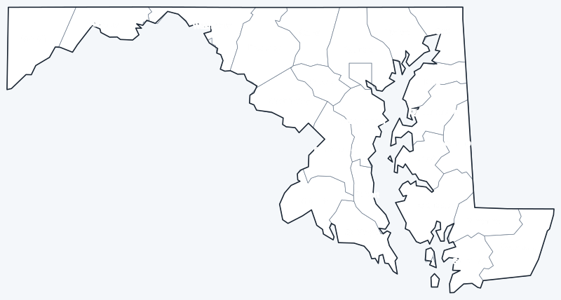
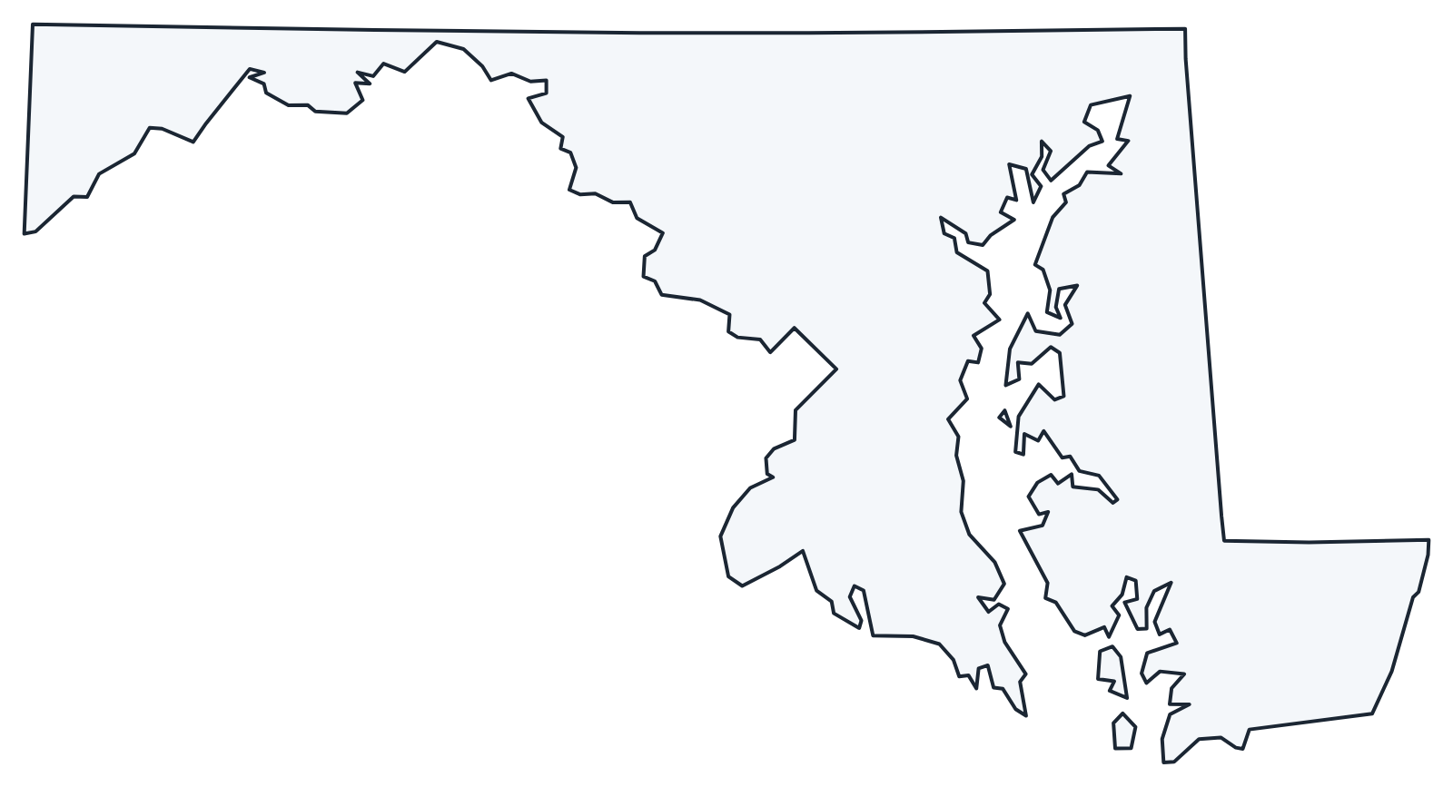
The labeled map shows every county name; the blank version has county lines only, for coloring or quizzes. Both are SVG files that print sharply at any size.
Frequently asked questions
How many counties are in Maryland?
Maryland has 23 counties and one independent city, Baltimore City, for 24 county-level jurisdictions.
What county is Baltimore in?
None. Baltimore City is an independent city, separate from Baltimore County, whose seat is Towson.
What is the largest county in Maryland?
Frederick County, with 660.6 sq mi of land; its seat is Frederick. Garrett County (649.1 sq mi) is a close second.
What is the most populous county in Maryland?
Montgomery County, with 1,062,061 people in 2020, or 17.2% of the state. Prince George's County is second with 967,201.
Neighboring state county maps
Delaware county map · Pennsylvania county map · Virginia county map · West Virginia county map
Back to the Maryland state map or browse all 50 state maps.
Sources: U.S. Census Bureau (2020 Census, 2020 Gazetteer, boundaries); county seats: Wikidata and Wikipedia county lists. Last reviewed October 2026.