Nebraska State Map
This Nebraska state map shows a Great Plains state in the middle of the country, bounded on the east by the Missouri River and on the west by the High Plains of the Panhandle. Its capital is Lincoln and its largest city is Omaha, about 50 miles apart in the southeast.
The interactive map shows Nebraska’s largest cities (capital in red) on an OpenStreetMap base map. Turn on Show counties to see all county lines and hover for names.
Nebraska quick facts
| Capital | Lincoln |
|---|---|
| Largest city | Omaha |
| Population (2020) | 1,961,504 (37th of 50) |
| Total area | 77,348 sq mi (16th of 50) |
| Statehood | March 1, 1867 (37th state) |
| Counties | 93 counties · County map |
| Abbreviation | NE (AP style: Neb.) |
| Region | Midwest (West North Central division) |
| Time zone | Central Time (CT); Mountain Time (MT) in the west, including the Panhandle |
| Highest point | Panorama Point, 5,424 ft (Kimball County) |
| Borders | South Dakota (north); Iowa, Missouri (east, across the Missouri River); Kansas (south); Colorado (southwest); Wyoming (west) |
Largest cities in Nebraska
| Rank | City | Population (2020) |
|---|---|---|
| 1 | Omaha | 486,051 |
| 2 | Lincoln (capital) | 291,082 |
| 3 | Bellevue | 64,176 |
| 4 | Grand Island | 53,131 |
| 5 | Kearney | 33,790 |
| 6 | Fremont | 27,141 |
| 7 | Hastings | 25,152 |
| 8 | Norfolk | 24,955 |
| 9 | Papillion | 24,159 |
| 10 | Columbus | 24,028 |
Geography of Nebraska
Nebraska rises gently from east to west, from 840 ft on the Missouri River in Richardson County, the state’s lowest point, to 5,424 ft at Panorama Point near the Colorado and Wyoming lines. Most people live in the east; the west is ranch country with small towns far apart.
Eastern Nebraska
- Omaha–Lincoln area: Omaha, Bellevue and Papillion on the Missouri River, and Lincoln to the southwest. Douglas, Lancaster and Sarpy counties hold more than half of the state’s people.
- Northeast: farm country around Norfolk, Columbus and Fremont, and South Sioux City across the Missouri from Sioux City, Iowa.
- Missouri River border: the river forms the entire eastern boundary, with bridges linking Omaha to Council Bluffs, Iowa, and crossings at Plattsmouth, Nebraska City and Brownville farther south.
- Southeast: rolling cropland around Beatrice, home of Homestead National Historical Park.
The Platte River valley
The Platte River crosses the state from west to east and joins the Missouri south of Omaha. It forms where the North Platte and South Platte rivers meet at the city of North Platte. The valley carried the Oregon, California and Mormon trails, then the Union Pacific Railroad, US 30 and I-80, and it links Grand Island, Kearney and North Platte. Each spring, hundreds of thousands of sandhill cranes stop on the central Platte between Grand Island and Kearney.
The Sandhills
The Sandhills cover much of north-central Nebraska: grass-covered sand dunes, ranches and small lakes over the Ogallala Aquifer. It is the largest area of grass-stabilized dunes in the Western Hemisphere. The Niobrara River, a national scenic river, runs along its northern edge near Valentine.
The Panhandle
- North Platte valley: Scottsbluff and Gering, with Scotts Bluff National Monument and Chimney Rock, landmarks on the Oregon Trail.
- Pine Ridge: forested escarpment around Chadron in the northwest, with Toadstool Geologic Park in the badlands to the north.
- Sioux County: Agate Fossil Beds National Monument on the Niobrara River near Harrison, in the state’s northwest corner.
- Southern Panhandle: Sidney and Kimball along I-80; Panorama Point is in the far southwest corner of Kimball County.
Lake McConaughy, on the North Platte River near Ogallala, is the state’s largest reservoir.
Major highways
- I-80: the main route, from Omaha through Lincoln, York, Grand Island, Kearney, North Platte, Ogallala and Sidney to Wyoming toward Cheyenne, following the Platte valley for much of the way.
- I-76: leaves I-80 near Big Springs and runs southwest into Colorado toward Denver.
- I-680, I-480 and I-180: short connectors in Omaha and into downtown Lincoln.
- US 75 and US 81: north–south routes in the east, through Omaha and through Norfolk, Columbus and York.
- US 20: across the north from South Sioux City through O’Neill, Valentine and Chadron to Wyoming.
- US 26 and US 83: Ogallala to Scottsbluff along the North Platte, and North Platte to Valentine across the Sandhills.
Printable Nebraska maps
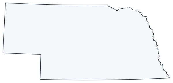
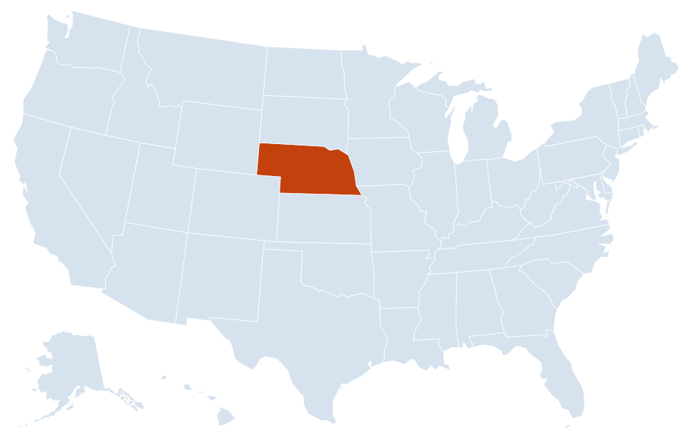
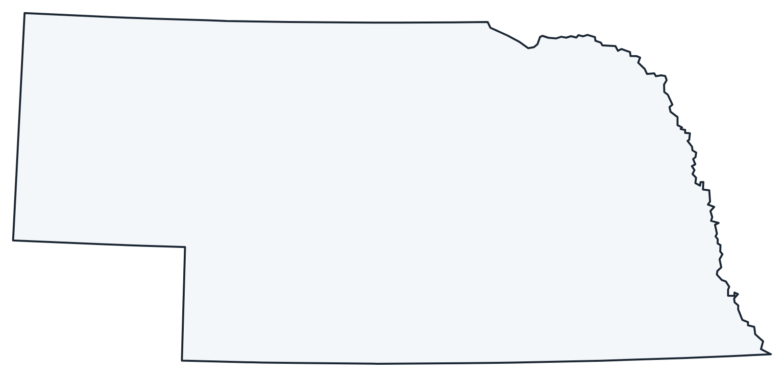
A blank outline of Nebraska for coloring, labeling or school projects, and a locator map showing the state within the US. Free for personal and classroom use.
For all 93 counties with county seats and 2020 population, and a printable labeled map, see the Nebraska county map.
Frequently asked questions
What is the capital of Nebraska?
Lincoln, in the southeast. Omaha is the largest city, but not the capital.
How many counties are in Nebraska?
There are 93 counties. Douglas County, which includes Omaha, is the most populous; Cherry County in the Sandhills is the largest by area.
What time zone is Nebraska in?
Most of Nebraska uses Central Time. The western part of the state, including the Panhandle (Scottsbluff, Alliance, Sidney) and Ogallala, uses Mountain Time. Both observe daylight saving time.
Why does Nebraska have only one house in its legislature?
Voters approved a one-house, nonpartisan legislature in 1934, and it first met in 1937. Nebraska is the only state with a unicameral legislature.
Neighboring and nearby states
Colorado · Iowa · Kansas · Missouri · South Dakota · Wyoming · Also in the West North Central division: Iowa, Kansas, Minnesota, Missouri, North Dakota, South Dakota
Back to the US state map or browse all 50 state maps.
Sources: U.S. Census Bureau (2020 Census, boundaries), USGS. Last reviewed October 2026.