Utah State Map
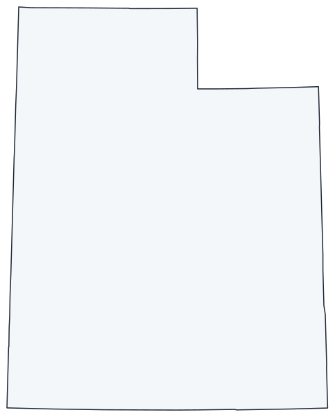
This Utah state map shows a Mountain West state shaped like a rectangle with a notch cut from its northeast corner. Utah meets Colorado, Arizona and New Mexico at the Four Corners, and Salt Lake City is both its capital and its largest city.
The interactive map shows Utah’s largest cities (capital in red) on an OpenStreetMap base map. Turn on Show counties to see all county lines and hover for names.
Utah quick facts
| Capital | Salt Lake City |
|---|---|
| Largest city | Salt Lake City |
| Population (2020) | 3,271,616 (30th of 50) |
| Total area | 84,897 sq mi (13th of 50) |
| Statehood | January 4, 1896 (45th state) |
| Counties | 29 counties · County map |
| Abbreviation | UT (AP style: Utah) |
| Region | West (Mountain division) |
| Time zone | Mountain Time (MT) |
| Highest point | Kings Peak, about 13,528 ft (Uinta Mountains) |
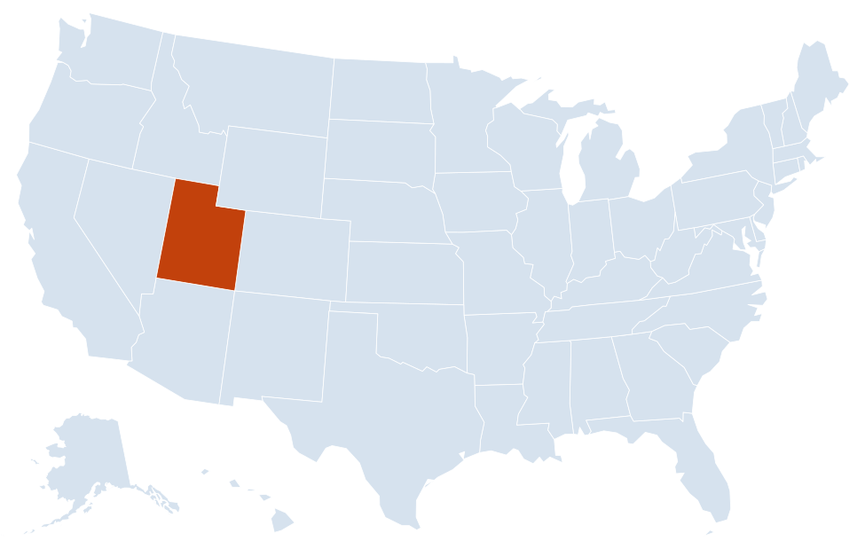
| Borders | Idaho, Wyoming (north); Wyoming, Colorado (east); Arizona (south); Nevada (west); New Mexico at a single point (Four Corners) |
Largest cities in Utah
| Rank | City | Population (2020) |
|---|---|---|
| 1 | Salt Lake City (capital) | 199,723 |
| 2 | West Valley City | 140,230 |
| 3 | West Jordan | 116,961 |
| 4 | Provo | 115,162 |
| 5 | Orem | 98,129 |
| 6 | Sandy | 96,904 |
| 7 | St. George | 95,342 |
| 8 | Ogden | 87,321 |
| 9 | Layton | 81,773 |
| 10 | South Jordan | 77,487 |
Nine of the ten largest cities are on the Wasatch Front; St. George, in the far southwest, is the exception.
Geography of Utah
Three large physical provinces meet in Utah: the Basin and Range to the west, the Rocky Mountains in the north and northeast, and the Colorado Plateau across the south and east. The Wasatch Range, running north to south through the middle of the state, separates the desert basins from the high country.
The Wasatch Front
A narrow strip of valleys at the western foot of the Wasatch Range holds most of Utah’s people. It runs from Ogden and Layton through Salt Lake City and its suburbs to Provo and Orem in Utah Valley. Logan, in Cache Valley near the Idaho line, sits just north of it.
Great Salt Lake and the West Desert
- Great Salt Lake: the largest saltwater lake in the Western Hemisphere, a remnant of Ice Age Lake Bonneville. It has no outlet, and its size changes with rainfall and water use.
- Bonneville Salt Flats: a hard, flat salt crust west of the lake near Wendover, on the Nevada line.
- Great Basin: dry valleys and isolated mountain ranges covering western Utah, with very few towns.
Uinta Mountains
The Uintas are one of the few major ranges in the US that run east to west. They hold Kings Peak, Utah’s highest point, and separate the Wasatch Front from the Uinta Basin around Vernal.
Colorado Plateau and the national parks
Red-rock canyons cover southern and eastern Utah, drained by the Colorado and Green rivers. The state has five national parks, all on the plateau:
- Arches and Canyonlands: near Moab in the east.
- Capitol Reef: in south-central Utah along the Waterpocket Fold.
- Bryce Canyon: hoodoo formations on the edge of the Paunsaugunt Plateau.
- Zion: a deep sandstone canyon near St. George and Springdale.
Lake Powell, a reservoir on the Colorado River, straddles the Arizona border inside Glen Canyon National Recreation Area. The Four Corners Monument, in the southeast corner, lies on Navajo Nation land.
Major highways
- I-15: the main north–south route, from Arizona through St. George, Cedar City, Provo, Salt Lake City and Ogden to Idaho.
- I-80: east–west from Wendover across the Bonneville Salt Flats to Salt Lake City, then through Parleys Canyon and Park City into Wyoming.
- I-84: from Idaho through Tremonton to Ogden, then through Weber Canyon to join I-80 at Echo.
- I-70: begins at I-15 near Cove Fort and crosses the San Rafael Swell to Green River and Colorado; long stretches have no services.
- I-215: a belt route around the Salt Lake Valley.
- US 89, US 191 and US 6: US 89 links Logan, the Wasatch Front, Kanab and the southern parks; US 191 runs through Vernal, Moab and Blanding; US 6 connects Spanish Fork, Price and Green River.
Printable Utah maps
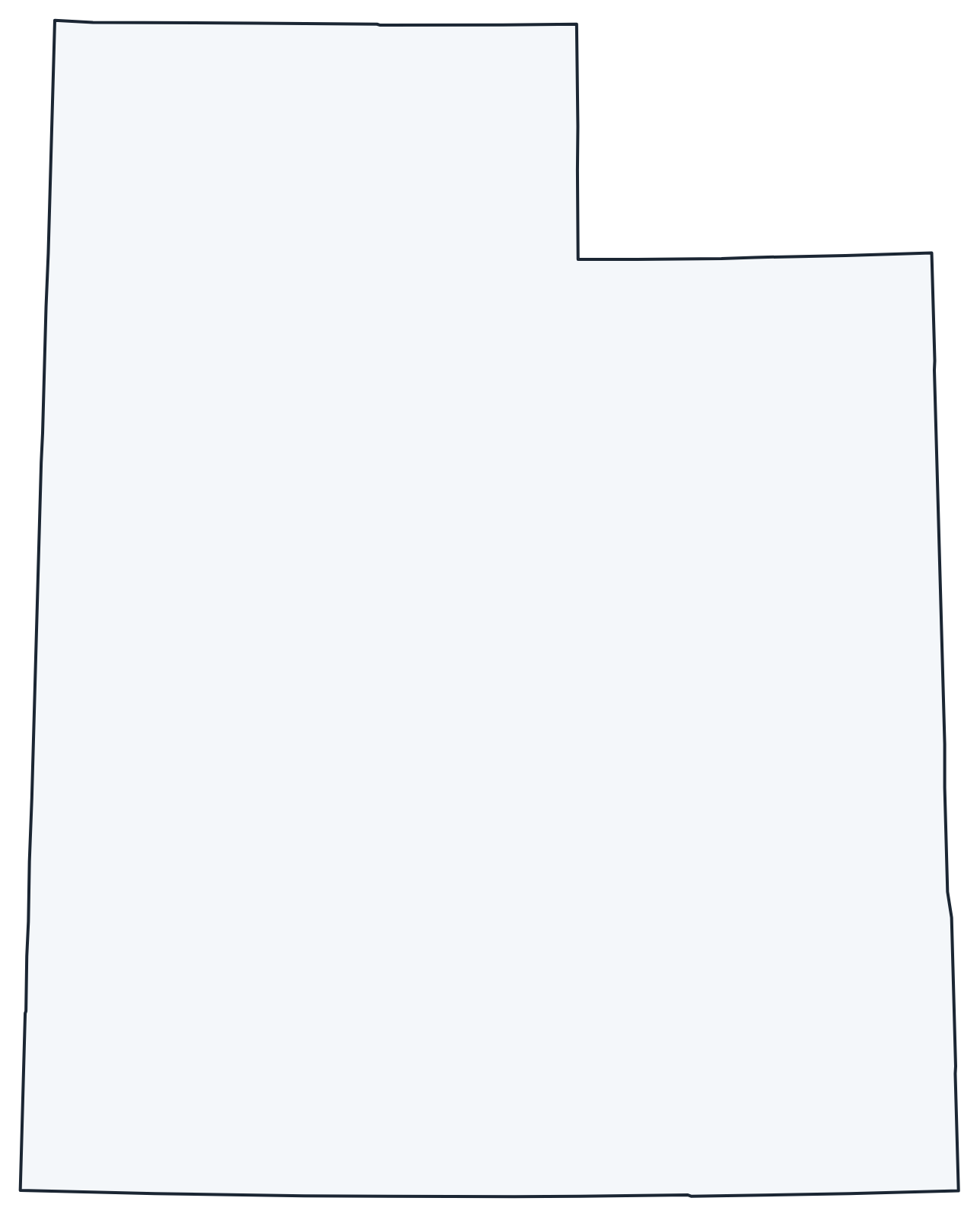
A blank outline of Utah for coloring, labeling or school projects, and a locator map showing the state within the US. Free for personal and classroom use.
For all 29 counties with county seats and 2020 population, and a printable labeled map, see the Utah county map.
Frequently asked questions
What is the capital of Utah?
Salt Lake City, at the southeast end of Great Salt Lake. It is also the largest city.
How many counties does Utah have?
Utah has 29 counties. Salt Lake County is the most populous (1,185,238 in 2020); San Juan County, in the southeast corner, is the largest by area.
What time zone is Utah in?
All of Utah uses Mountain Time and observes daylight saving time, unlike neighboring Arizona, which stays on standard time all year.
Is Utah one of the Four Corners states?
Yes. Utah, Colorado, New Mexico and Arizona meet at a single point in Utah’s southeast corner, the only place in the US where four states touch.
Neighboring and nearby states
Idaho · Wyoming · Colorado · Arizona · Nevada · Also in the Mountain division: Arizona, Colorado, Idaho, Montana, Nevada, New Mexico, Wyoming
Back to the US state map or browse all 50 state maps.
Sources: U.S. Census Bureau (2020 Census, boundaries), USGS, National Park Service. Last reviewed October 2026.