Arkansas State Map
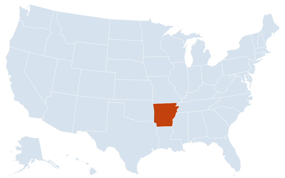
This Arkansas state map shows a South Central state on the west bank of the Mississippi River, between Missouri to the north and Louisiana to the south. Little Rock, near the center of the state, is both its capital and its largest city.
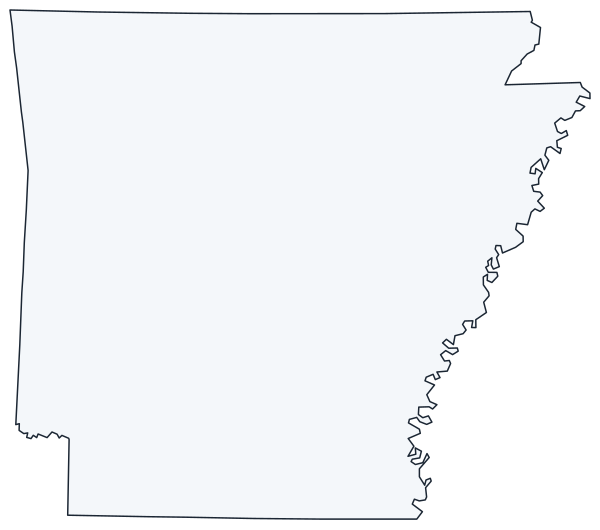
The interactive map shows Arkansas’s largest cities (capital in red) on an OpenStreetMap base map. Turn on Show counties to see all county lines and hover for names.
Arkansas quick facts
| Capital | Little Rock |
|---|---|
| Largest city | Little Rock |
| Population (2020) | 3,011,524 (33rd of 50) |
| Total area | 53,179 sq mi (29th of 50) |
| Statehood | June 15, 1836 (25th state) |
| Counties | 75 counties · County map |
| Abbreviation | AR (AP style: Ark.) |
| Region | South (West South Central division) |
| Time zone | Central Time (CT) |
| Highest point | Mount Magazine, 2,753 ft |
| Borders | Missouri (north), Tennessee and Mississippi (east, across the Mississippi River), Louisiana (south), Texas (southwest), Oklahoma (west) |
Largest cities in Arkansas
| Rank | City | Population (2020) |
|---|---|---|
| 1 | Little Rock (capital) | 202,591 |
| 2 | Fayetteville | 93,949 |
| 3 | Fort Smith | 89,142 |
| 4 | Springdale | 84,161 |
| 5 | Jonesboro | 78,576 |
| 6 | Rogers | 69,908 |
| 7 | North Little Rock | 64,591 |
| 8 | Conway | 64,134 |
| 9 | Bentonville | 54,164 |
| 10 | Pine Bluff | 41,253 |
Four of the ten largest cities (Fayetteville, Springdale, Rogers and Bentonville) are in Northwest Arkansas, a chain of cities along I-49 near the Missouri line.
Regions of Arkansas
A line drawn from the northeast corner to the southwest corner roughly splits Arkansas in two: highlands to the northwest and lowlands to the southeast.
Ozark Mountains
The Ozark Plateaus cover the north, rising to the rugged Boston Mountains south of Fayetteville. The Buffalo River, the first river designated a national river (1972), flows east through limestone bluffs near Harrison. Bull Shoals and Norfork lakes are near Mountain Home, and Eureka Springs is in the northwest hills. Northwest Arkansas, the Fayetteville–Springdale–Rogers–Bentonville corridor along I-49, is home to the University of Arkansas and Walmart’s headquarters.
Arkansas River Valley
The Arkansas River enters from Oklahoma at Fort Smith and flows southeast past Russellville, Little Rock and Pine Bluff to the Mississippi. Locks and dams of the McClellan-Kerr Arkansas River Navigation System make it navigable by barge. Mount Magazine, the state’s highest point, rises on the south side of the valley.
Ouachita Mountains
West-central Arkansas holds the Ouachitas, unusual among US ranges because their ridges run east–west. Ouachita National Forest covers much of the range around Mena, and Lake Ouachita lies west of Hot Springs, whose thermal springs and bathhouses are protected in Hot Springs National Park.
The Delta
The flat Mississippi Alluvial Plain covers eastern Arkansas, with rice, soybean and cotton fields around Jonesboro, West Memphis, Stuttgart and Helena-West Helena. Crowley’s Ridge, a narrow line of hills, runs north–south through the Delta past Jonesboro.
West Gulf Coastal Plain
Pine forests and rolling hills cover the south, around El Dorado, Magnolia, Camden and Texarkana. Texarkana is a twin city: the state line with Texas runs through its downtown along State Line Avenue, and each side has its own city government. Near Murfreesboro, Crater of Diamonds State Park lets visitors search for diamonds and keep what they find.
The Mississippi River forms almost all of the eastern border. Other major rivers are the White, St. Francis, Ouachita and, in the southwest, the Red River, which forms part of the border with Texas.
Major highways
- I-40: the main east–west route, from Oklahoma through Fort Smith, Russellville, Conway and Little Rock to West Memphis and Memphis, Tennessee.
- I-30: Little Rock southwest through Benton and Arkadelphia to Texarkana and Dallas.
- I-49: Fort Smith area north through Fayetteville, Springdale, Rogers and Bentonville to Missouri; a separate section runs from the Louisiana line to Texarkana.
- I-55: West Memphis north to Blytheville and Missouri, along the Mississippi.
- I-555 and I-530: Jonesboro to I-55, and Little Rock to Pine Bluff.
- I-430, I-440 and I-630: bypasses and a crosstown route in the Little Rock area.
- US 65, US 67 and US 167: north–south routes linking Little Rock with Harrison, Searcy and El Dorado.
- US 412: across the north through Springdale, Harrison and Paragould.
Printable Arkansas maps
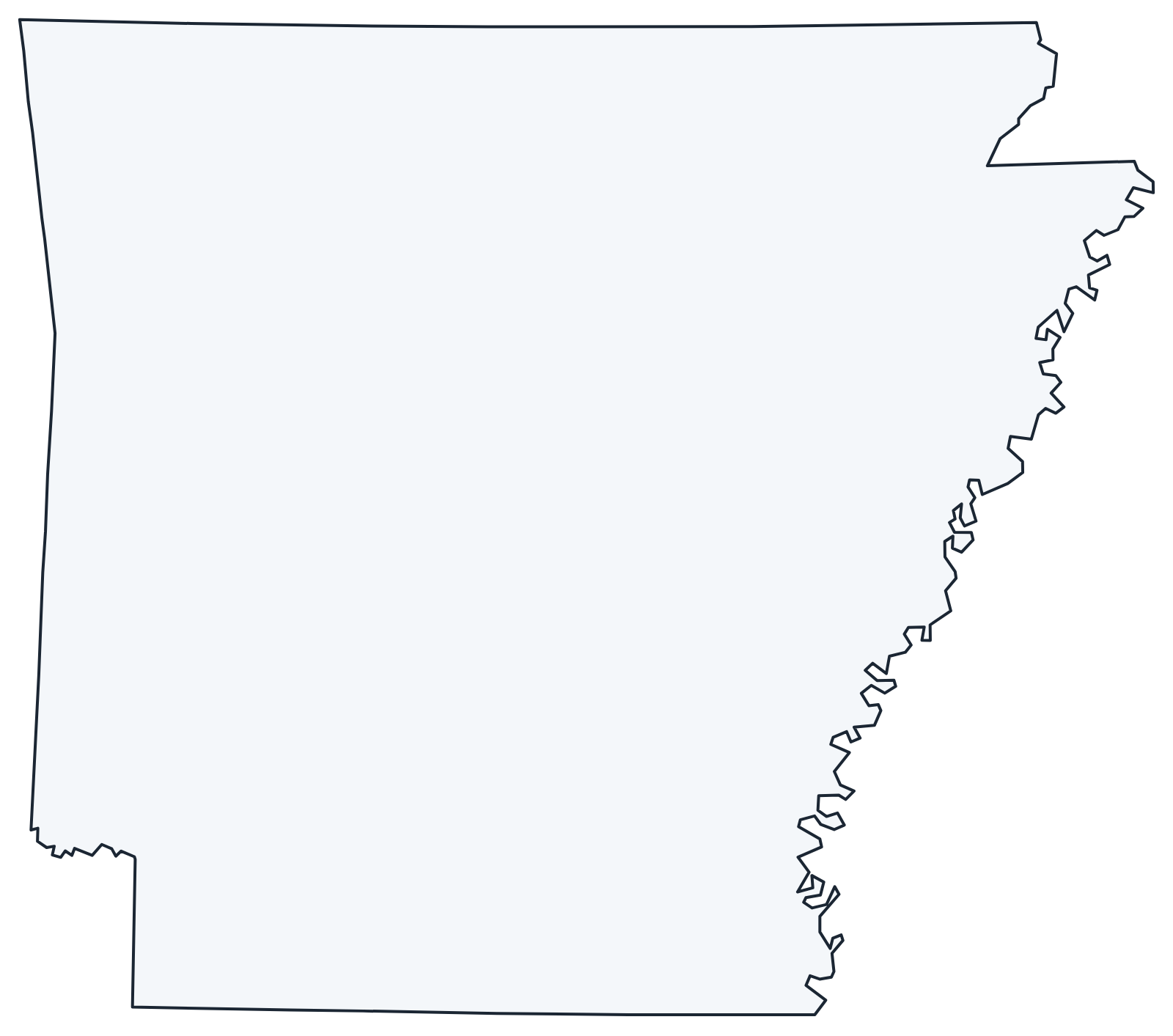
A blank outline of Arkansas for coloring, labeling or school projects, and a locator map showing the state within the US. Free for personal and classroom use.
For all 75 counties with county seats and 2020 population, and a printable labeled map, see the Arkansas county map.
Frequently asked questions
What is the capital of Arkansas?
Little Rock, on the Arkansas River in the center of the state. It is also the largest city, and North Little Rock lies just across the river.
How many counties are in Arkansas?
There are 75 counties. Pulaski County, which includes Little Rock, is the most populous; Union County, around El Dorado on the Louisiana line, is the largest by area.
What time zone is Arkansas in?
All of Arkansas uses Central Time and observes daylight saving time.
How do you pronounce Arkansas?
“AR-kan-saw.” The legislature made this the official pronunciation in 1881, even though people in Kansas often say “ar-KAN-zus” for the Arkansas River where it flows through their state.
Neighboring and nearby states
Louisiana · Mississippi · Missouri · Oklahoma · Tennessee · Texas · Also in the West South Central division: Louisiana, Oklahoma, Texas
Back to the US state map or browse all 50 state maps.
Sources: U.S. Census Bureau (2020 Census, boundaries), USGS, National Park Service. Last reviewed October 2026.