Minnesota County Map
Minnesota has 87 counties. Hennepin County, home to Minneapolis, is the most populous with 1,281,565 residents in 2020, and St. Louis County in the northeast is the largest by land area at 6,247.6 sq mi. Saint Paul, the capital, is the seat of Ramsey County.
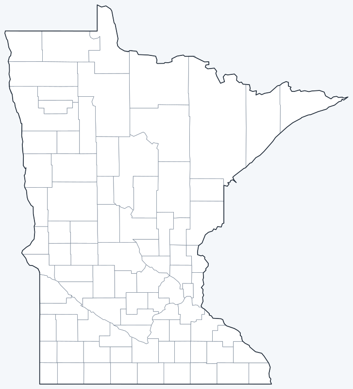
County lines are switched on when the interactive map loads. Hover over a county to see its name, or untick Show counties to hide them.
List of Minnesota counties
| County | County seat | Population (2020) | Land area (sq mi) |
|---|---|---|---|
| Aitkin County | Aitkin | 15,697 | 1,821.8 |
| Anoka County | Anoka | 363,887 | 422.0 |
| Becker County | Detroit Lakes | 35,183 | 1,315.1 |
| Beltrami County | Bemidji | 46,228 | 2,504.7 |
| Benton County | Foley | 41,379 | 408.3 |
| Big Stone County | Ortonville | 5,166 | 499.2 |
| Blue Earth County | Mankato | 69,112 | 747.8 |
| Brown County | New Ulm | 25,912 | 611.1 |
| Carlton County | Carlton | 36,207 | 861.2 |
| Carver County | Chaska | 106,922 | 354.0 |
| Cass County | Walker | 30,066 | 2,021.5 |
| Chippewa County | Montevideo | 12,598 | 581.2 |
| Chisago County | Center City | 56,621 | 414.9 |
| Clay County | Moorhead | 65,318 | 1,045.2 |
| Clearwater County | Bagley | 8,524 | 998.8 |
| Cook County | Grand Marais | 5,600 | 1,452.6 |
| Cottonwood County | Windom | 11,517 | 640.0 |
| Crow Wing County | Brainerd | 66,123 | 998.4 |
| Dakota County | Hastings | 439,882 | 562.5 |
| Dodge County | Mantorville | 20,867 | 439.3 |
| Douglas County | Alexandria | 39,006 | 636.9 |
| Faribault County | Blue Earth | 13,921 | 712.5 |
| Fillmore County | Preston | 21,228 | 861.3 |
| Freeborn County | Albert Lea | 30,895 | 707.2 |
| Goodhue County | Red Wing | 47,582 | 756.7 |
| Grant County | Elbow Lake | 6,074 | 547.8 |
| Hennepin County | Minneapolis | 1,281,565 | 554.0 |
| Houston County | Caledonia | 18,843 | 552.0 |
| Hubbard County | Park Rapids | 21,344 | 926.0 |
| Isanti County | Cambridge | 41,135 | 435.8 |
| Itasca County | Grand Rapids | 45,014 | 2,667.7 |
| Jackson County | Jackson | 9,989 | 703.0 |
| Kanabec County | Mora | 16,032 | 521.6 |
| Kandiyohi County | Willmar | 43,732 | 797.4 |
| Kittson County | Hallock | 4,207 | 1,099.0 |
| Koochiching County | International Falls | 12,062 | 3,104.6 |
| Lac qui Parle County | Madison | 6,719 | 765.0 |
| Lake County | Two Harbors | 10,905 | 2,109.1 |
| Lake of the Woods County | Baudette | 3,763 | 1,297.8 |
| Le Sueur County | Le Center | 28,674 | 448.7 |
| Lincoln County | Ivanhoe | 5,640 | 536.8 |
| Lyon County | Marshall | 25,269 | 714.4 |
| Mahnomen County | Mahnomen | 5,411 | 557.9 |
| Marshall County | Warren | 9,040 | 1,775.1 |
| Martin County | Fairmont | 20,025 | 712.3 |
| McLeod County | Glencoe | 36,771 | 491.5 |
| Meeker County | Litchfield | 23,400 | 608.0 |
| Mille Lacs County | Milaca | 26,459 | 572.3 |
| Morrison County | Little Falls | 34,010 | 1,125.1 |
| Mower County | Austin | 40,029 | 711.3 |
| Murray County | Slayton | 8,179 | 704.7 |
| Nicollet County | St. Peter | 34,454 | 448.6 |
| Nobles County | Worthington | 22,290 | 715.1 |
| Norman County | Ada | 6,441 | 872.8 |
| Olmsted County | Rochester | 162,847 | 653.5 |
| Otter Tail County | Fergus Falls | 60,081 | 1,971.6 |
| Pennington County | Thief River Falls | 13,992 | 616.6 |
| Pine County | Pine City | 28,876 | 1,411.3 |
| Pipestone County | Pipestone | 9,424 | 465.1 |
| Polk County | Crookston | 31,192 | 1,971.0 |
| Pope County | Glenwood | 11,308 | 669.5 |
| Ramsey County | Saint Paul | 552,352 | 152.2 |
| Red Lake County | Red Lake Falls | 3,935 | 432.4 |
| Redwood County | Redwood Falls | 15,425 | 878.6 |
| Renville County | Olivia | 14,723 | 982.9 |
| Rice County | Faribault | 67,097 | 495.8 |
| Rock County | Luverne | 9,704 | 482.5 |
| Roseau County | Roseau | 15,331 | 1,671.7 |
| Scott County | Shakopee | 150,928 | 356.3 |
| Sherburne County | Elk River | 97,183 | 432.9 |
| Sibley County | Gaylord | 14,836 | 588.8 |
| St. Louis County | Duluth | 200,231 | 6,247.6 |
| Stearns County | St. Cloud | 158,292 | 1,342.8 |
| Steele County | Owatonna | 37,406 | 429.6 |
| Stevens County | Morris | 9,671 | 563.6 |
| Swift County | Benson | 9,838 | 742.0 |
| Todd County | Long Prairie | 25,262 | 945.1 |
| Traverse County | Wheaton | 3,360 | 573.9 |
| Wabasha County | Wabasha | 21,387 | 522.9 |
| Wadena County | Wadena | 14,065 | 536.3 |
| Waseca County | Waseca | 18,968 | 423.4 |
| Washington County | Stillwater | 267,568 | 384.7 |
| Watonwan County | St. James | 11,253 | 434.9 |
| Wilkin County | Breckenridge | 6,506 | 751.0 |
| Winona County | Winona | 49,671 | 626.2 |
| Wright County | Buffalo | 141,337 | 661.2 |
| Yellow Medicine County | Granite Falls | 9,528 | 759.1 |
Most populous counties
The five most populous counties are home to 50.9% of Minnesota’s 5,706,494 residents (2020 Census).
- Hennepin County (Minneapolis): 1,281,565, 22.5% of the state
- Ramsey County (Saint Paul): 552,352, 9.7% of the state
- Dakota County (Hastings): 439,882, 7.7% of the state
- Anoka County (Anoka): 363,887, 6.4% of the state
- Washington County (Stillwater): 267,568, 4.7% of the state
Ramsey County is the second most populous county even though it is the smallest by land. Traverse County, on the South Dakota border, is the least populous, with 3,360 residents.
Largest and smallest counties
St. Louis County, which runs from Duluth on Lake Superior north to the Canadian border, is by far the largest county at 6,247.6 sq mi of land, ahead of Koochiching County (3,104.6 sq mi) and Itasca County (2,667.7 sq mi). Ramsey County, in the Twin Cities, is the smallest at 152.2 sq mi of land.
Counties in Minnesota
Each Minnesota county is governed by an elected board of commissioners.
- Twin Cities: Minneapolis is the seat of Hennepin County and Saint Paul the seat of Ramsey County.
- Lake of the Woods County includes the Northwest Angle, the northernmost point of the contiguous United States.
- Cook County, at the northeastern tip, contains Eagle Mountain, the state’s highest point.
Printable Minnesota county maps
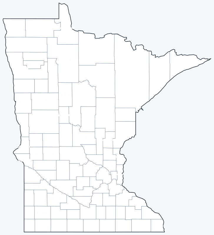
Print the labeled map as a reference or the blank map for county quizzes and coloring; both are SVG files that print sharply at any size.
Frequently asked questions
How many counties are in Minnesota?
Minnesota has 87 counties.
What is the largest county in Minnesota?
St. Louis County, with 6,247.6 sq mi of land. Its seat is Duluth.
What is the most populous county in Minnesota?
Hennepin County, with 1,281,565 residents in 2020, or 22.5% of the state.
What county is Minneapolis in?
Minneapolis is in Hennepin County and is its county seat. Saint Paul, the capital, is in Ramsey County.
More Minnesota and nearby maps
Back to the Minnesota state map for cities, highways and geography.
Neighboring county maps: Iowa county map · North Dakota county map · South Dakota county map · Wisconsin county map · Michigan county map
Browse all 50 state maps.
Sources: U.S. Census Bureau (2020 Census, 2020 Gazetteer, boundaries); county seats from Wikipedia county lists cross-checked with Wikidata. Last reviewed October 2026.