Oklahoma County Map
Oklahoma has 77 counties. Oklahoma County is the most populous, with 796,292 people in 2020, and Osage County is the largest by land area at 2,246.6 sq mi. The capital, Oklahoma City, is the seat of Oklahoma County.
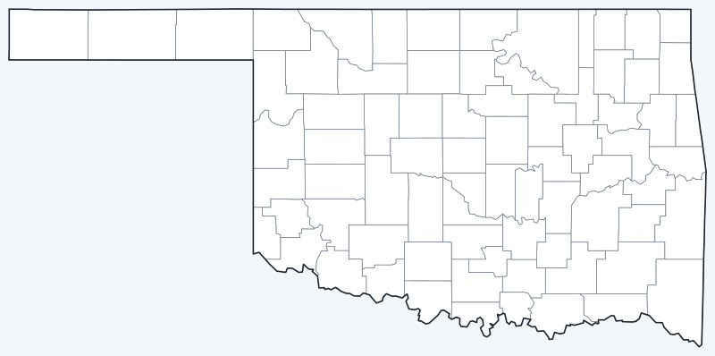
County lines are switched on when the interactive map loads, along with Oklahoma’s largest cities (capital in red). Hover a county to see its name, or untick Show counties to hide them.
List of Oklahoma counties
| County | County seat | Population (2020) | Land area (sq mi) |
|---|---|---|---|
| Adair County | Stilwell | 19,495 | 573.9 |
| Alfalfa County | Cherokee | 5,699 | 866.6 |
| Atoka County | Atoka | 14,143 | 975.4 |
| Beaver County | Beaver | 5,049 | 1,814.8 |
| Beckham County | Sayre | 22,410 | 901.7 |
| Blaine County | Watonga | 8,735 | 928.5 |
| Bryan County | Durant | 46,067 | 904.3 |
| Caddo County | Anadarko | 26,945 | 1,277.8 |
| Canadian County | El Reno | 154,405 | 896.6 |
| Carter County | Ardmore | 48,003 | 822.2 |
| Cherokee County | Tahlequah | 47,078 | 749.1 |
| Choctaw County | Hugo | 14,204 | 770.4 |
| Cimarron County | Boise City | 2,296 | 1,834.8 |
| Cleveland County | Norman | 295,528 | 538.9 |
| Coal County | Coalgate | 5,266 | 516.8 |
| Comanche County | Lawton | 121,125 | 1,069.3 |
| Cotton County | Walters | 5,527 | 632.6 |
| Craig County | Vinita | 14,107 | 761.3 |
| Creek County | Sapulpa | 71,754 | 949.9 |
| Custer County | Arapaho | 28,513 | 988.8 |
| Delaware County | Jay | 40,397 | 737.8 |
| Dewey County | Taloga | 4,484 | 999.6 |
| Ellis County | Arnett | 3,749 | 1,231.5 |
| Garfield County | Enid | 62,846 | 1,058.5 |
| Garvin County | Pauls Valley | 25,656 | 802.1 |
| Grady County | Chickasha | 54,795 | 1,100.5 |
| Grant County | Medford | 4,169 | 1,000.7 |
| Greer County | Mangum | 5,491 | 639.3 |
| Harmon County | Hollis | 2,488 | 537.3 |
| Harper County | Buffalo | 3,272 | 1,038.6 |
| Haskell County | Stigler | 11,561 | 576.7 |
| Hughes County | Holdenville | 13,367 | 804.5 |
| Jackson County | Altus | 24,785 | 802.7 |
| Jefferson County | Waurika | 5,337 | 759.0 |
| Johnston County | Tishomingo | 10,272 | 643.0 |
| Kay County | Newkirk | 43,700 | 919.6 |
| Kingfisher County | Kingfisher | 15,184 | 898.1 |
| Kiowa County | Hobart | 8,509 | 1,015.1 |
| Latimer County | Wilburton | 9,444 | 722.1 |
| Le Flore County | Poteau | 48,129 | 1,589.4 |
| Lincoln County | Chandler | 33,458 | 952.4 |
| Logan County | Guthrie | 49,555 | 743.7 |
| Love County | Marietta | 10,146 | 513.9 |
| Major County | Fairview | 7,782 | 955.0 |
| Marshall County | Madill | 15,312 | 371.5 |
| Mayes County | Pryor Creek | 39,046 | 655.4 |
| McClain County | Purcell | 41,662 | 570.7 |
| McCurtain County | Idabel | 30,814 | 1,850.8 |
| McIntosh County | Eufaula | 18,941 | 618.3 |
| Murray County | Sulphur | 13,904 | 416.4 |
| Muskogee County | Muskogee | 66,339 | 810.6 |
| Noble County | Perry | 10,924 | 731.7 |
| Nowata County | Nowata | 9,320 | 565.8 |
| Okfuskee County | Okemah | 11,310 | 618.5 |
| Oklahoma County | Oklahoma City | 796,292 | 708.9 |
| Okmulgee County | Okmulgee | 36,706 | 697.4 |
| Osage County | Pawhuska | 45,818 | 2,246.6 |
| Ottawa County | Miami | 30,285 | 470.8 |
| Pawnee County | Pawnee | 15,553 | 568.4 |
| Payne County | Stillwater | 81,646 | 684.9 |
| Pittsburg County | McAlester | 43,773 | 1,305.5 |
| Pontotoc County | Ada | 38,065 | 720.4 |
| Pottawatomie County | Shawnee | 72,454 | 787.8 |
| Pushmataha County | Antlers | 10,812 | 1,395.5 |
| Roger Mills County | Cheyenne | 3,442 | 1,141.1 |
| Rogers County | Claremore | 95,240 | 675.7 |
| Seminole County | Wewoka | 23,556 | 632.8 |
| Sequoyah County | Sallisaw | 39,281 | 673.6 |
| Stephens County | Duncan | 42,848 | 870.2 |
| Texas County | Guymon | 21,384 | 2,041.3 |
| Tillman County | Frederick | 6,968 | 871.1 |
| Tulsa County | Tulsa | 669,279 | 570.2 |
| Wagoner County | Wagoner | 80,981 | 561.9 |
| Washington County | Bartlesville | 52,455 | 415.5 |
| Washita County | New Cordell | 10,924 | 1,003.1 |
| Woods County | Alva | 8,624 | 1,286.5 |
| Woodward County | Woodward | 20,470 | 1,242.8 |
Most populous counties
Oklahoma had 3,959,353 residents in 2020. Five counties held 51.4% of them:
- Oklahoma County: 796,292 (20.1% of the state)
- Tulsa County: 669,279 (16.9% of the state)
- Cleveland County: 295,528 (7.5% of the state)
- Canadian County: 154,405 (3.9% of the state)
- Comanche County: 121,125 (3.1% of the state)
The two metro cores dominate: Oklahoma County (Oklahoma City) and Tulsa County (Tulsa) together have 1,465,571 people, 37.0% of the state. At the other end, Cimarron County in the Panhandle had only 2,296 residents, the fewest of any Oklahoma county, and 20 counties had fewer than 10,000. The median county had 21,384 people.
Largest and smallest counties
Osage County, northwest of Tulsa, is the largest county at 2,246.6 sq mi of land, followed by Texas County (2,041.3 sq mi) in the Panhandle and McCurtain County (1,850.8 sq mi) in the southeast corner. The smallest is Marshall County on Lake Texoma, with 371.5 sq mi of land, then Washington County (415.5 sq mi) and Murray County (416.4 sq mi).
The three Panhandle counties, Cimarron County, Texas County and Beaver County, cover 5,690.9 sq mi of land but had just 28,729 residents combined.
How Oklahoma counties work
Most of Oklahoma’s counties were drawn at statehood in 1907, when Oklahoma Territory and Indian Territory were joined. Harmon County (1909) and Cotton County (1912) were created later, bringing the total to 77. Each county is governed by an elected board of three county commissioners, and each has a county seat where the courthouse stands.
Large cities can cross county lines. Oklahoma City, the seat of Oklahoma County, also extends into Canadian, Cleveland and Pottawatomie counties.
Printable Oklahoma county maps
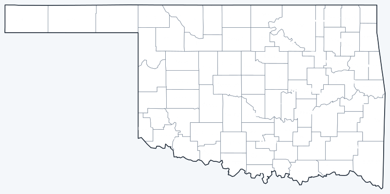
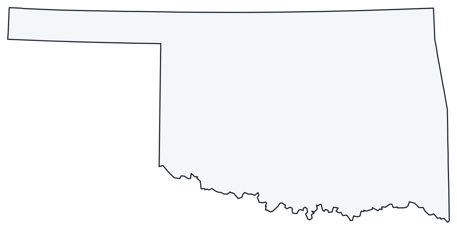
Download the labeled map with every county name, or the blank version for quizzes and coloring; both are SVG files that print sharply at any size.
Frequently asked questions
How many counties are in Oklahoma?
There are 77 counties. Oklahoma County is the most populous and Osage County is the largest by land area.
What is the largest county in Oklahoma?
Osage County, with 2,246.6 sq mi of land. It had 45,818 residents in 2020.
What is the most populous county in Oklahoma?
Oklahoma County, with 796,292 people in 2020, followed by Tulsa County with 669,279.
What county is Oklahoma City in?
Mostly Oklahoma County, of which it is the county seat. Parts of the city lie in Canadian, Cleveland and Pottawatomie counties.
More maps
Back to the Oklahoma state map. Neighboring states: Arkansas county map · Colorado county map · Kansas county map · Missouri county map · New Mexico county map · Texas county map.
Browse all 50 state maps.
Sources: U.S. Census Bureau (2020 Census, 2020 Gazetteer, boundaries); county seats: Wikipedia and Wikidata. Last reviewed October 2026.