New York County Map
New York has 62 counties, five of which are the boroughs of New York City. Kings County (Brooklyn) is the most populous with 2,736,074 residents in 2020, and St. Lawrence County is the largest by land area at 2,679.5 sq mi. The capital, Albany, is the seat of Albany County.
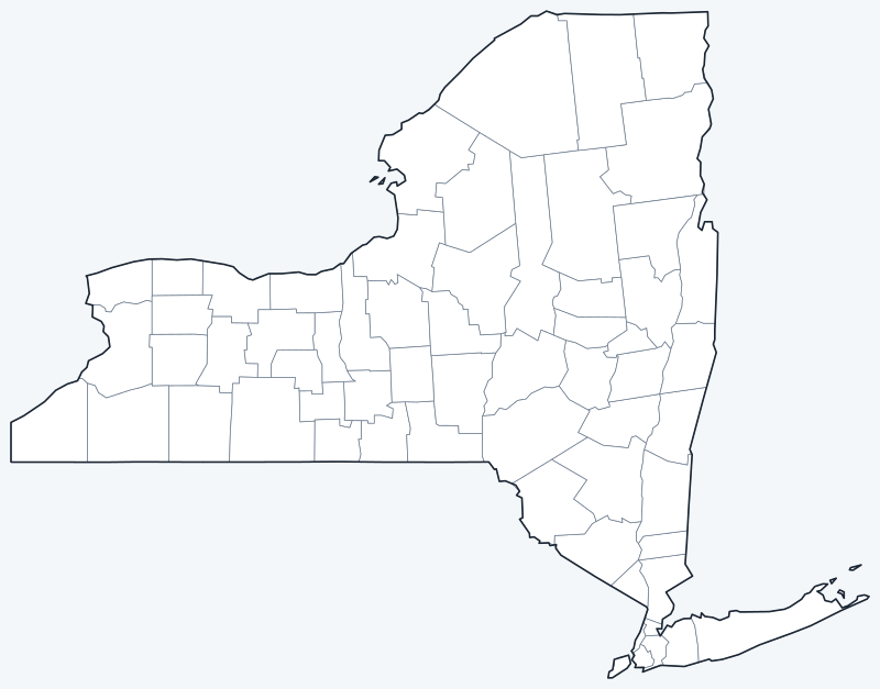
Counties are switched on when the interactive map loads. Hover over a county to see its name, or untick Show counties to hide the county lines.
List of New York counties
All 62 counties in alphabetical order. Click a column heading to sort by seat, population or land area. A dash (—) marks counties without a county seat (see below).
| County | County seat | Population (2020) | Land area (sq mi) |
|---|---|---|---|
| Albany County | Albany | 314,848 | 522.9 |
| Allegany County | Belmont | 46,456 | 1,029.4 |
| Bronx County | — | 1,472,654 | 42.2 |
| Broome County | Binghamton | 198,683 | 705.6 |
| Cattaraugus County | Little Valley | 77,042 | 1,308.2 |
| Cayuga County | Auburn | 76,248 | 691.6 |
| Chautauqua County | Mayville | 127,657 | 1,060.4 |
| Chemung County | Elmira | 84,148 | 407.3 |
| Chenango County | Norwich | 47,220 | 893.6 |
| Clinton County | Plattsburgh | 79,843 | 1,037.8 |
| Columbia County | Hudson | 61,570 | 634.7 |
| Cortland County | Cortland | 46,809 | 498.8 |
| Delaware County | Delhi | 44,308 | 1,442.6 |
| Dutchess County | Poughkeepsie | 295,911 | 795.6 |
| Erie County | Buffalo | 954,236 | 1,042.7 |
| Essex County | Elizabethtown | 37,381 | 1,794.1 |
| Franklin County | Malone | 47,555 | 1,629.3 |
| Fulton County | Johnstown | 53,324 | 495.5 |
| Genesee County | Batavia | 58,388 | 492.9 |
| Greene County | Catskill | 47,931 | 647.2 |
| Hamilton County | Lake Pleasant | 5,107 | 1,717.4 |
| Herkimer County | Herkimer | 60,139 | 1,411.5 |
| Jefferson County | Watertown | 116,721 | 1,268.7 |
| Kings County | — | 2,736,074 | 69.4 |
| Lewis County | Lowville | 26,582 | 1,274.6 |
| Livingston County | Geneseo | 61,834 | 631.8 |
| Madison County | Wampsville | 68,016 | 654.9 |
| Monroe County | Rochester | 759,443 | 656.9 |
| Montgomery County | Fonda | 49,532 | 403.1 |
| Nassau County | Mineola | 1,395,774 | 284.5 |
| New York County | — | 1,694,251 | 22.7 |
| Niagara County | Lockport | 212,666 | 522.4 |
| Oneida County | Utica | 232,125 | 1,212.3 |
| Onondaga County | Syracuse | 476,516 | 778.4 |
| Ontario County | Canandaigua | 112,458 | 644.1 |
| Orange County | Goshen | 401,310 | 812.3 |
| Orleans County | Albion | 40,343 | 391.3 |
| Oswego County | Oswego | 117,525 | 951.6 |
| Otsego County | Cooperstown | 58,524 | 1,001.7 |
| Putnam County | Carmel | 97,668 | 230.2 |
| Queens County | — | 2,405,464 | 108.7 |
| Rensselaer County | Troy | 161,130 | 652.5 |
| Richmond County | — | 495,747 | 57.5 |
| Rockland County | New City | 338,329 | 173.4 |
| Saratoga County | Ballston Spa | 235,509 | 810.0 |
| Schenectady County | Schenectady | 158,061 | 204.6 |
| Schoharie County | Schoharie | 29,714 | 621.8 |
| Schuyler County | Watkins Glen | 17,898 | 328.3 |
| Seneca County | Waterloo | 33,814 | 323.7 |
| St. Lawrence County | Canton | 108,505 | 2,679.5 |
| Steuben County | Bath | 93,584 | 1,390.5 |
| Suffolk County | Riverhead | 1,525,920 | 911.2 |
| Sullivan County | Monticello | 78,624 | 968.1 |
| Tioga County | Owego | 48,455 | 518.8 |
| Tompkins County | Ithaca | 105,740 | 474.6 |
| Ulster County | Kingston | 181,851 | 1,124.2 |
| Warren County | Queensbury | 65,737 | 867.2 |
| Washington County | Fort Edward | 61,302 | 831.2 |
| Wayne County | Lyons | 91,283 | 603.8 |
| Westchester County | White Plains | 1,004,457 | 430.7 |
| Wyoming County | Warsaw | 40,531 | 592.8 |
| Yates County | Penn Yan | 24,774 | 338.1 |
Most populous counties
The five largest counties by 2020 population hold 48.7% of New York’s 20,201,249 residents:
- Kings County (Brooklyn): 2,736,074 people, 13.5% of the state
- Queens County (Queens): 2,405,464 people, 11.9% of the state
- New York County (Manhattan): 1,694,251 people, 8.4% of the state
- Suffolk County (seat: Riverhead): 1,525,920 people, 7.6% of the state
- Bronx County (the Bronx): 1,472,654 people, 7.3% of the state
The least populous county is Hamilton County, with 5,107 people.
Largest and smallest counties
By land area, the largest counties are St. Lawrence County (2,679.5 sq mi), Essex County (1,794.1 sq mi) and Hamilton County (1,717.4 sq mi). The smallest are New York County (22.7 sq mi), Bronx County (42.2 sq mi) and Richmond County (57.5 sq mi). Areas exclude water.
New York City’s five counties
New York City covers five counties, one for each borough. Together they had 8,804,190 residents in 2020, 43.6% of the state:
- Manhattan = New York County: 1,694,251
- Brooklyn = Kings County: 2,736,074
- Queens = Queens County: 2,405,464
- The Bronx = Bronx County: 1,472,654
- Staten Island = Richmond County: 495,747
The five counties have no county governments of their own; the city government provides county services, so the table above shows no county seat for them. The other 57 counties each have a county government and a county seat.
Printable New York county maps
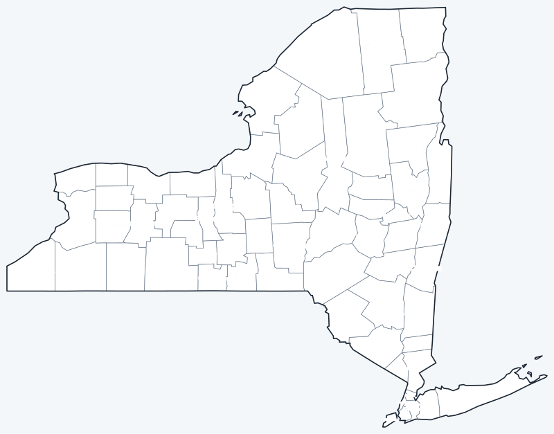
Download the labeled county map for reference or the blank version for coloring and geography practice; both are SVG files that print sharply at any size.
Frequently asked questions
How many counties are in New York?
62, including the five boroughs of New York City. The least populous is Hamilton County in the Adirondacks, with 5,107 people in 2020.
What is the largest county in New York?
St. Lawrence County, on the Canadian border, with 2,679.5 sq mi of land. Essex County (1,794.1 sq mi) is second.
What county is New York City in?
All five: New York (Manhattan), Kings (Brooklyn), Queens, Bronx and Richmond (Staten Island) counties.
What county is Albany in?
Albany, the state capital, is the seat of Albany County, which had 314,848 residents in 2020.
More maps
Back to the New York state map. County maps of neighboring states: Vermont county map · Massachusetts county map · Connecticut county map · New Jersey county map · Pennsylvania county map.
Browse all 50 state maps.
Sources: U.S. Census Bureau (2020 Census, 2020 Gazetteer, boundaries); county seats: Wikipedia and Wikidata county lists. Last reviewed October 2026.