Vermont County Map
Vermont has 14 counties. Chittenden County is the most populous, with 168,323 residents in 2020, and Windsor County is the largest by land area at 969.8 sq mi. The capital, Montpelier, is the county seat of Washington County; the largest city, Burlington, is the seat of Chittenden County.
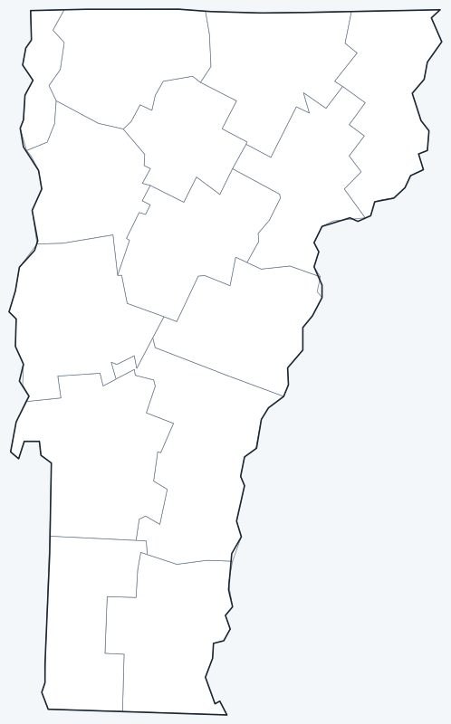
County lines are switched on when the interactive map loads; hover over a county to see its name. Untick Show counties to hide them.
List of Vermont counties
| County | County seat | Population (2020) | Land area (sq mi) |
|---|---|---|---|
| Addison | Middlebury | 37,363 | 766.1 |
| Bennington | Bennington and Manchester | 37,347 | 674.8 |
| Caledonia | St. Johnsbury | 30,233 | 648.8 |
| Chittenden | Burlington | 168,323 | 537.3 |
| Essex | Guildhall | 5,920 | 662.5 |
| Franklin | Saint Albans | 49,946 | 630.7 |
| Grand Isle | North Hero | 7,293 | 81.8 |
| Lamoille | Hyde Park | 25,945 | 462.3 |
| Orange | Chelsea | 29,277 | 687.2 |
| Orleans | Newport | 27,393 | 694.5 |
| Rutland | Rutland | 60,572 | 929.7 |
| Washington | Montpelier | 59,807 | 686.6 |
| Windham | Newfane | 45,905 | 785.5 |
| Windsor | Woodstock | 57,753 | 969.8 |
Most populous counties
Vermont had 643,077 residents in the 2020 Census. The five most populous counties hold 61.6% of them:
- Chittenden County (seat: Burlington): 168,323 (26.2% of the state)
- Rutland County (seat: Rutland): 60,572 (9.4% of the state)
- Washington County (seat: Montpelier): 59,807 (9.3% of the state)
- Windsor County (seat: Woodstock): 57,753 (9.0% of the state)
- Franklin County (seat: Saint Albans): 49,946 (7.8% of the state)
At the other end, the least populous counties are Essex County (5,920), Grand Isle County (7,293) and Lamoille County (25,945).
Largest and smallest counties
Vermont’s 14 counties cover 9,217.6 sq mi of land, an average of 658.4 sq mi each. The largest by land area are Windsor County (969.8 sq mi), Rutland County (929.7 sq mi) and Windham County (785.5 sq mi).
The smallest is Grand Isle County, with 81.8 sq mi of land, followed by Lamoille County (462.3 sq mi) and Chittenden County (537.3 sq mi). Windsor County is about 12 times the size of Grand Isle County.
How counties work in Vermont
Vermont counties have very little government of their own. Most local services are run by the state and by towns, and each county mainly serves as a district for courts, a sheriff and a state’s attorney. A county seat in Vermont is traditionally called a shire town.
Montpelier, the state capital, is also the shire town of Washington County. Burlington, the largest city, is the shire town of Chittenden County, and Grand Isle County is made up of islands and a peninsula in Lake Champlain.
Printable Vermont county maps
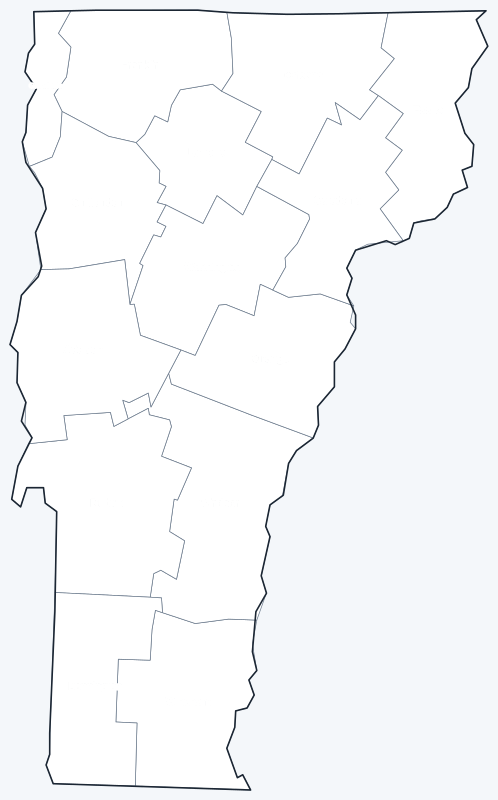
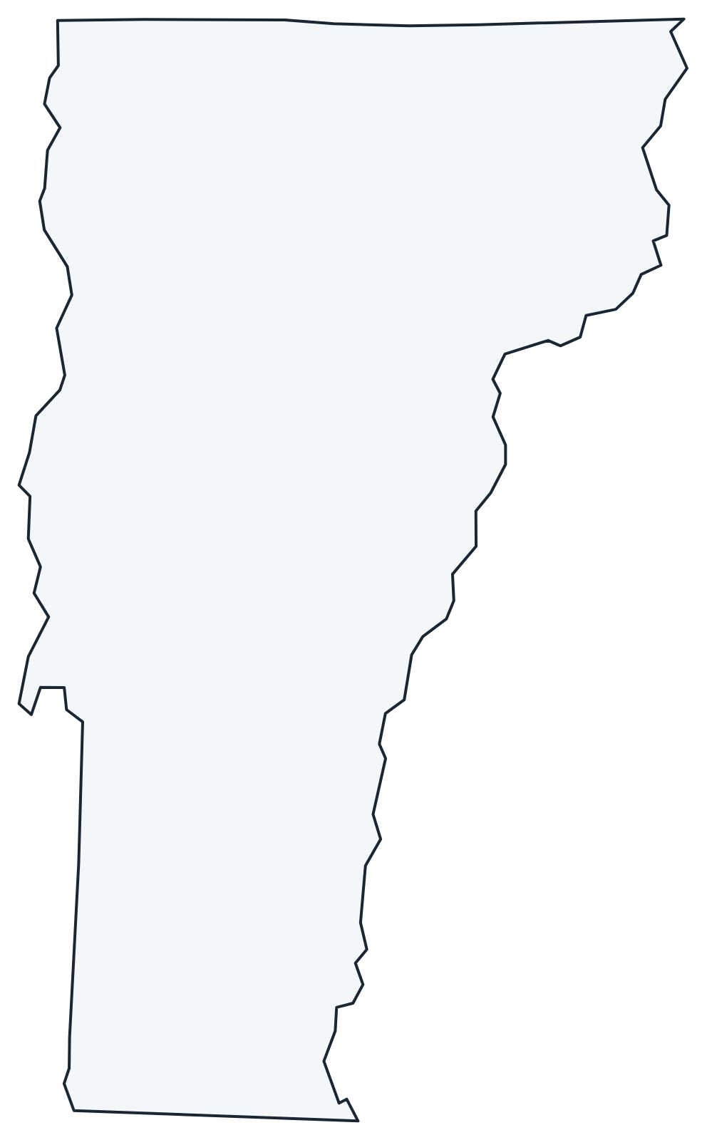
Download the labeled map with county names or the blank map with county lines only, free for personal and classroom use.
Frequently asked questions
How many counties are in Vermont?
Vermont has 14 counties. The most populous is Chittenden County and the largest by land area is Windsor County.
What is the largest county in Vermont?
By land area, Windsor County (969.8 sq mi, seat: Woodstock). By population, Chittenden County, with 168,323 residents in 2020.
What county is Montpelier in?
Montpelier, the state capital, is the county seat of Washington County.
What is a shire town in Vermont?
It is the traditional Vermont name for a county seat, the town where the county courthouse is located. The table above lists the shire town of each county.
More Vermont maps
Back to the Vermont state map with cities, highways and quick facts.
County maps of neighboring states: New Hampshire · Massachusetts · New York
Browse all 50 state maps.
Sources: U.S. Census Bureau (2020 Census, 2020 Gazetteer, boundaries); county seats from Wikipedia county lists cross-checked with Wikidata. Last reviewed October 2026.