Connecticut County Map
Connecticut has 8 historical counties but no county government; its 169 towns and cities provide local services. In the 2020 Census, Fairfield County was the most populous (957,419 residents), Litchfield County was the largest by land area (920.5 sq mi), and the capital, Hartford, is in Hartford County.
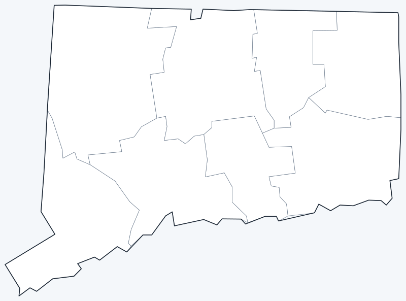
County lines are switched on when the interactive map loads. Hover over a county to see its name, or untick Show counties to hide them.
List of Connecticut counties
Connecticut counties have no county seats because county government was abolished in 1960, so the seat column shows “—”.
| County | County seat | Population (2020) | Land area (sq mi) |
|---|---|---|---|
| Fairfield County | — | 957,419 | 625.0 |
| Hartford County | — | 899,498 | 734.9 |
| Litchfield County | — | 185,186 | 920.5 |
| Middlesex County | — | 164,245 | 369.3 |
| New Haven County | — | 864,835 | 604.3 |
| New London County | — | 268,555 | 665.1 |
| Tolland County | — | 149,788 | 410.4 |
| Windham County | — | 116,418 | 512.9 |
Most populous counties
The five most populous counties had 3,175,493 of Connecticut’s 3,605,944 residents in 2020, or 88.1% of the state total.
- Fairfield County: 957,419 (26.6%)
- Hartford County: 899,498 (24.9%)
- New Haven County: 864,835 (24.0%)
- New London County: 268,555 (7.4%)
- Litchfield County: 185,186 (5.1%)
The three most populous counties, Fairfield, Hartford and New Haven, together held 75.5% of the state’s population in 2020. Fairfield County, on the New York border, includes Bridgeport and Stamford. Windham County in the northeast was the least populous with 116,418 residents.
Largest and smallest counties
Litchfield County in the northwest hills is the largest, with 920.5 sq mi of land. Middlesex County, along the lower Connecticut River, is the smallest at 369.3 sq mi, just below Tolland County (410.4 sq mi). Counting water in Long Island Sound, New Haven County (862.1 sq mi) and Fairfield County (837.0 sq mi) have larger total areas than Hartford County.
How counties work in Connecticut
Connecticut abolished county government in 1960. Since then the counties have had no officials, budgets or county seats, which is why the county seat column in the table shows “—”. Towns and cities handle most local government, and the state runs services such as courts that counties provide elsewhere.
The eight counties remain familiar place names and were the geographic units of the 2020 Census, so all figures on this page use them. Since 2022, the U.S. Census Bureau has used Connecticut’s nine councils-of-governments planning regions in place of counties for its statistics, so newer federal data will not match these county lines.
Printable Connecticut county maps
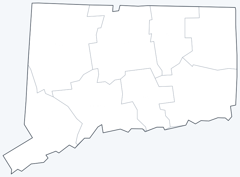
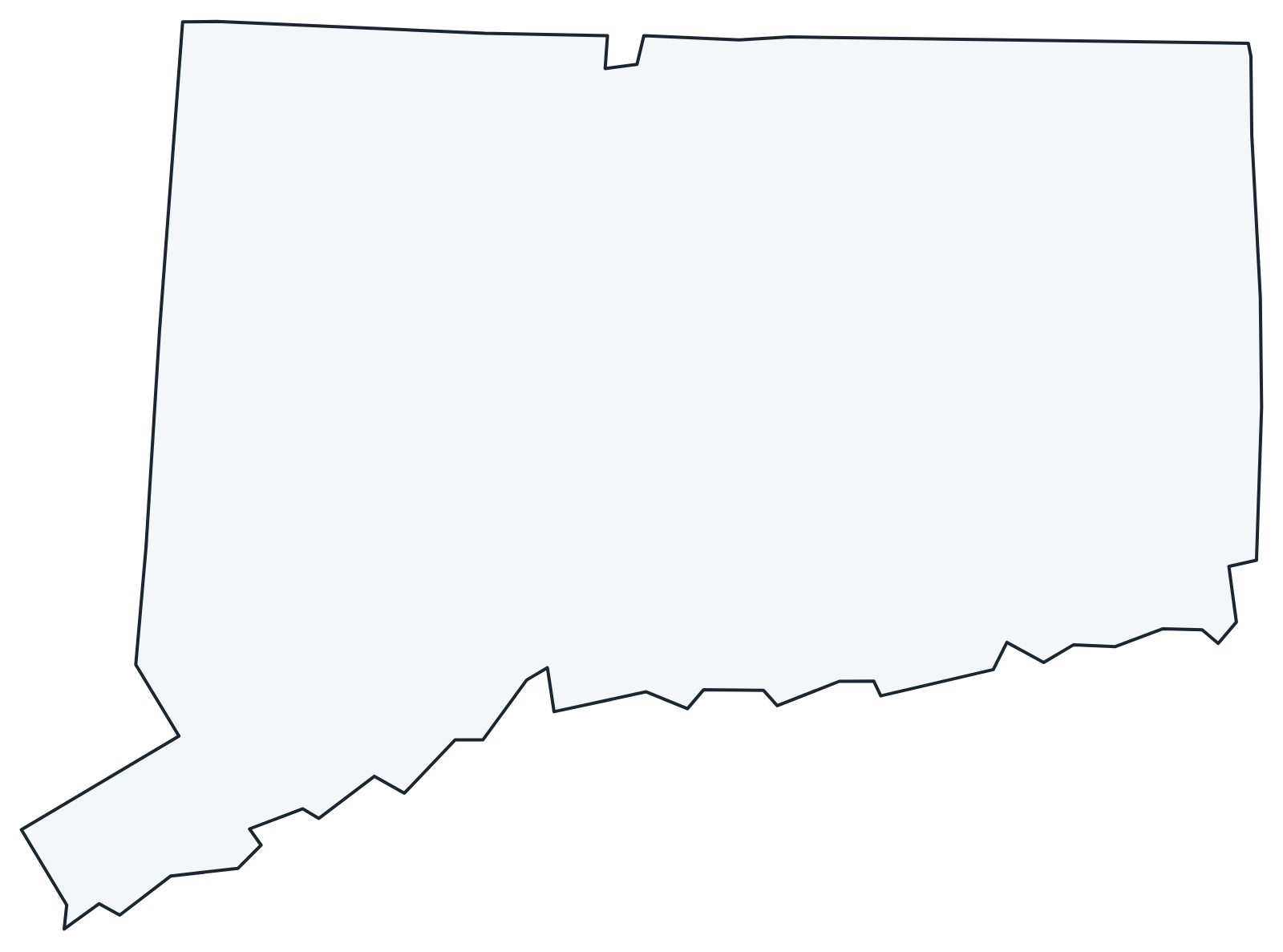
The labeled map shows every county name; the blank version has county lines only, for coloring or quizzes. Both are SVG files that print sharply at any size.
Frequently asked questions
How many counties are in Connecticut?
Eight historical counties: Fairfield, Hartford, Litchfield, Middlesex, New Haven, New London, Tolland and Windham. Since 2022 the Census Bureau reports data by nine planning regions instead.
Does Connecticut have county government?
No. County government was abolished in 1960, so Connecticut counties have no county seats or county officials.
What is the most populous county in Connecticut?
Fairfield County, with 957,419 residents in 2020 (26.6% of the state).
What county is Hartford in?
Hartford, the state capital, is in Hartford County, the second most populous county with 899,498 residents in 2020.
Neighboring state county maps
Massachusetts · New York · Rhode Island
Back to the Connecticut state map or browse all 50 state maps.
Sources: U.S. Census Bureau (2020 Census, 2020 Gazetteer, boundaries). Last reviewed October 2026.