Florida County Map
Florida has 67 counties. Miami-Dade County is the most populous with 2,701,767 residents in 2020, Collier County is the largest by land area (1,996.9 sq mi), and the capital, Tallahassee, is the county seat of Leon County in the Panhandle.
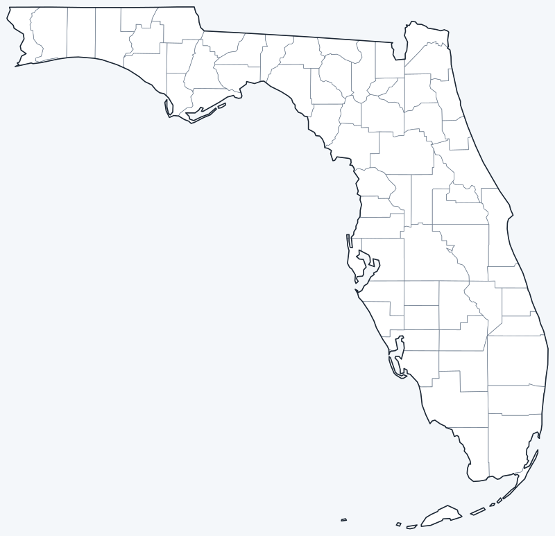
County lines are switched on when the interactive map loads. Hover over a county to see its name, or untick Show counties to hide them.
List of Florida counties
Click a column heading to sort. Land area excludes water.
| County | County seat | Population (2020) | Land area (sq mi) |
|---|---|---|---|
| Alachua County | Gainesville | 278,468 | 875.6 |
| Baker County | Macclenny | 28,259 | 585.2 |
| Bay County | Panama City | 175,216 | 758.6 |
| Bradford County | Starke | 28,303 | 294.0 |
| Brevard County | Titusville | 606,612 | 1,015.0 |
| Broward County | Fort Lauderdale | 1,944,375 | 1,202.7 |
| Calhoun County | Blountstown | 13,648 | 567.3 |
| Charlotte County | Punta Gorda | 186,847 | 681.1 |
| Citrus County | Inverness | 153,843 | 581.9 |
| Clay County | Green Cove Springs | 218,245 | 604.6 |
| Collier County | East Naples | 375,752 | 1,996.9 |
| Columbia County | Lake City | 69,698 | 797.6 |
| DeSoto County | Arcadia | 33,976 | 636.7 |
| Dixie County | Cross City | 16,759 | 705.0 |
| Duval County | Jacksonville | 995,567 | 762.6 |
| Escambia County | Pensacola | 321,905 | 657.0 |
| Flagler County | Bunnell | 115,378 | 486.2 |
| Franklin County | Apalachicola | 12,451 | 545.0 |
| Gadsden County | Quincy | 43,826 | 516.4 |
| Gilchrist County | Trenton | 17,864 | 349.7 |
| Glades County | Moore Haven | 12,126 | 806.8 |
| Gulf County | Port St. Joe | 14,192 | 553.5 |
| Hamilton County | Jasper | 14,004 | 514.3 |
| Hardee County | Wauchula | 25,327 | 637.6 |
| Hendry County | LaBelle | 39,619 | 1,155.9 |
| Hernando County | Brooksville | 194,515 | 473.0 |
| Highlands County | Sebring | 101,235 | 1,017.7 |
| Hillsborough County | Tampa | 1,459,762 | 1,021.9 |
| Holmes County | Bonifay | 19,653 | 478.9 |
| Indian River County | Vero Beach | 159,788 | 502.8 |
| Jackson County | Marianna | 47,319 | 918.2 |
| Jefferson County | Monticello | 14,510 | 598.1 |
| Lafayette County | Mayo | 8,226 | 543.3 |
| Lake County | Tavares | 383,956 | 951.6 |
| Lee County | Fort Myers | 760,822 | 781.0 |
| Leon County | Tallahassee | 292,198 | 668.4 |
| Levy County | Bronson | 42,915 | 1,118.2 |
| Liberty County | Bristol | 7,974 | 835.6 |
| Madison County | Madison | 17,968 | 696.5 |
| Manatee County | Bradenton | 399,710 | 742.8 |
| Marion County | Ocala | 375,908 | 1,588.4 |
| Martin County | Stuart | 158,431 | 543.8 |
| Miami-Dade County | Miami | 2,701,767 | 1,899.9 |
| Monroe County | Key West | 82,874 | 983.0 |
| Nassau County | Fernandina Beach | 90,352 | 648.7 |
| Okaloosa County | Crestview | 211,668 | 930.2 |
| Okeechobee County | Okeechobee | 39,644 | 769.2 |
| Orange County | Orlando | 1,429,908 | 902.0 |
| Osceola County | Kissimmee | 388,656 | 1,327.5 |
| Palm Beach County | West Palm Beach | 1,492,191 | 1,964.3 |
| Pasco County | Dade City | 561,891 | 746.6 |
| Pinellas County | Clearwater | 959,107 | 273.7 |
| Polk County | Bartow | 725,046 | 1,797.8 |
| Putnam County | Palatka | 73,321 | 728.4 |
| Santa Rosa County | Milton | 188,000 | 1,012.4 |
| Sarasota County | Sarasota | 434,006 | 556.0 |
| Seminole County | Sanford | 470,856 | 309.4 |
| St. Johns County | St. Augustine | 273,425 | 600.6 |
| St. Lucie County | Fort Pierce | 329,226 | 571.7 |
| Sumter County | Bushnell | 129,752 | 557.1 |
| Suwannee County | Live Oak | 43,474 | 688.6 |
| Taylor County | Perry | 21,796 | 1,043.3 |
| Union County | Lake Butler | 16,147 | 243.6 |
| Volusia County | DeLand | 553,543 | 1,101.3 |
| Wakulla County | Crawfordville | 33,764 | 606.4 |
| Walton County | DeFuniak Springs | 75,305 | 1,038.3 |
| Washington County | Chipley | 25,318 | 584.7 |
Most populous counties
The five most populous counties had 9,028,003 of Florida’s 21,538,187 residents in 2020, or 41.9% of the state total.
- Miami-Dade County: 2,701,767 (12.5%)
- Broward County: 1,944,375 (9.0%)
- Palm Beach County: 1,492,191 (6.9%)
- Hillsborough County: 1,459,762 (6.8%)
- Orange County: 1,429,908 (6.6%)
The three southeast coast counties, Miami-Dade, Broward and Palm Beach, together had 6,138,333 residents, 28.5% of the state. Hillsborough County includes Tampa, and Orange County includes Orlando. Duval County (995,567) is sixth. The least populous county is Liberty County, west of Tallahassee, with 7,974 residents.
Largest and smallest counties
By land area the largest counties are Collier (1,996.9 sq mi), Palm Beach (1,964.3 sq mi) and Miami-Dade (1,899.9 sq mi), all in South Florida. Counting water, Monroe County, which includes the Florida Keys, is far larger than any other at 5,289.6 sq mi in total, but only 983.0 sq mi of that is land. The smallest county by land area is Union County (243.6 sq mi), north of Gainesville, followed by Pinellas County (273.7 sq mi), the peninsula between Tampa Bay and the Gulf.
How counties work in Florida
Every Florida county has an elected board of county commissioners and a county seat. Florida counties provide many services directly, especially in unincorporated areas outside city limits. A few points help when reading the map:
- Duval County and Jacksonville consolidated in 1968, so one government serves the city and the county. This is why Jacksonville is the largest city in Florida by population.
- Miami-Dade County was named Dade County until 1997.
- Collier County’s seat, East Naples, is an unincorporated community rather than a city.
County lines also matter for time zones: most of the Panhandle west of the Apalachicola River, including Escambia, Okaloosa and Bay counties, uses Central Time, while the rest of Florida uses Eastern Time.
Printable Florida county maps
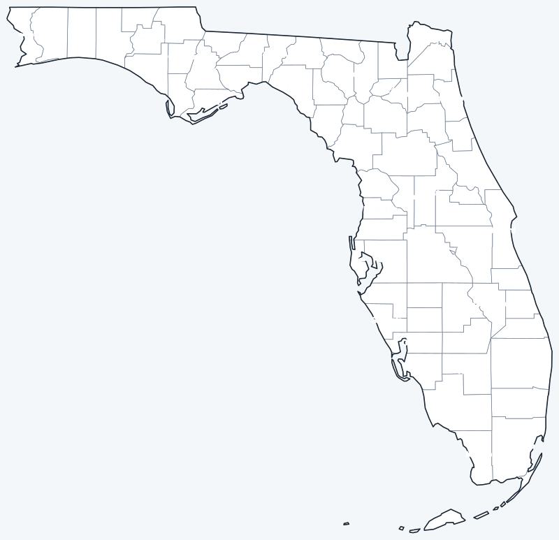
The labeled map shows every county name; the blank version has county lines only, for coloring or quizzes. Both are SVG files that print sharply at any size.
Frequently asked questions
How many counties are in Florida?
Florida has 67 counties.
What is the largest county in Florida?
By land area, Collier County (1,996.9 sq mi). Including water, Monroe County, with the Florida Keys, is largest at 5,289.6 sq mi.
What is the most populous county in Florida?
Miami-Dade County, with 2,701,767 residents in 2020, about 12.5% of all Floridians.
What county is Tallahassee in?
Tallahassee, the state capital, is in Leon County and is its county seat. Jacksonville, the largest city, is in Duval County.
Neighboring state county maps
Back to the Florida state map or browse all 50 state maps.
Sources: U.S. Census Bureau (2020 Census, 2020 Gazetteer, boundaries); county seats from Wikipedia and Wikidata, cross-checked. Last reviewed October 2026.